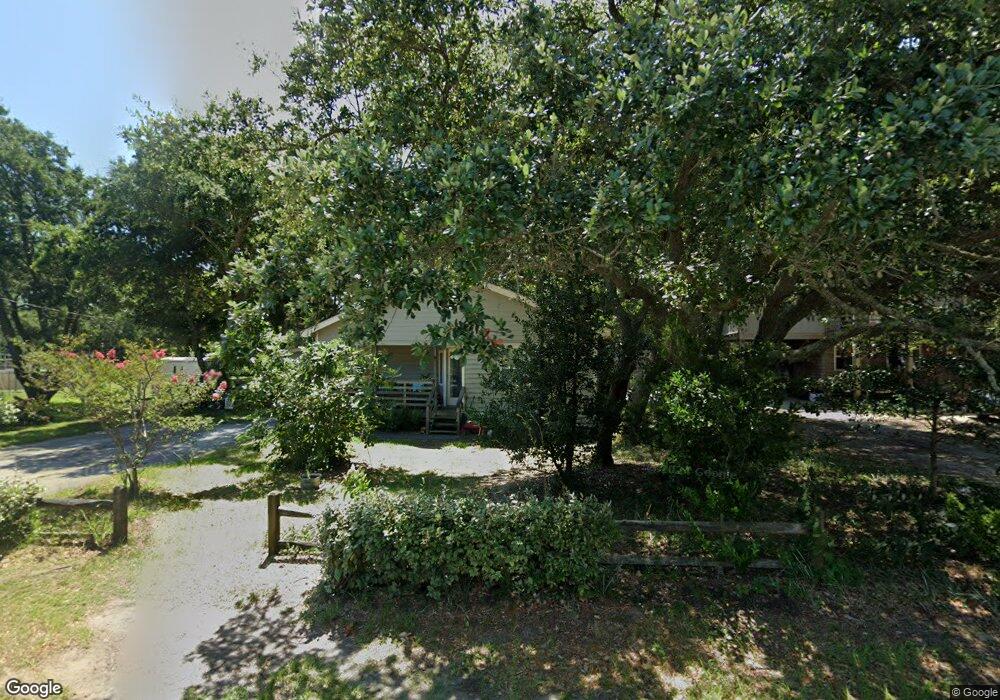
505 W Airstrip Rd Unit 6 Kill Devil Hills, NC 27948
Estimated Value: $454,000 - $491,000
3
Beds
2
Baths
1,944
Sq Ft
$239/Sq Ft
Est. Value
About This Home
This home is located at 505 W Airstrip Rd Unit 6, Kill Devil Hills, NC 27948 and is currently estimated at $464,957, approximately $239 per square foot. 505 W Airstrip Rd Unit 6 is a home located in Dare County with nearby schools including Nags Head Elementary School, Manteo Middle School, and Manteo High School.
Ownership History
Date
Name
Owned For
Owner Type
Purchase Details
Closed on
Mar 19, 2013
Sold by
Diven Laurie B and Diven James E
Bought by
Clayton Michael Winecoff and Clayton Teri Victoria
Current Estimated Value
Home Financials for this Owner
Home Financials are based on the most recent Mortgage that was taken out on this home.
Original Mortgage
$183,672
Outstanding Balance
$129,906
Interest Rate
3.59%
Mortgage Type
New Conventional
Estimated Equity
$335,051
Create a Home Valuation Report for This Property
The Home Valuation Report is an in-depth analysis detailing your home's value as well as a comparison with similar homes in the area
Home Values in the Area
Average Home Value in this Area
Purchase History
| Date | Buyer | Sale Price | Title Company |
|---|---|---|---|
| Clayton Michael Winecoff | $180,000 | None Available |
Source: Public Records
Mortgage History
| Date | Status | Borrower | Loan Amount |
|---|---|---|---|
| Open | Clayton Michael Winecoff | $183,672 |
Source: Public Records
Tax History Compared to Growth
Tax History
| Year | Tax Paid | Tax Assessment Tax Assessment Total Assessment is a certain percentage of the fair market value that is determined by local assessors to be the total taxable value of land and additions on the property. | Land | Improvement |
|---|---|---|---|---|
| 2025 | $2,459 | $452,600 | $179,400 | $273,200 |
| 2024 | $1,806 | $239,000 | $87,100 | $151,900 |
| 2023 | $957 | $239,000 | $87,100 | $151,900 |
| 2022 | $1,722 | $239,000 | $87,100 | $151,900 |
| 2021 | $1,722 | $239,000 | $87,100 | $151,900 |
| 2020 | $1,359 | $239,000 | $87,100 | $151,900 |
| 2019 | $1,359 | $156,200 | $68,200 | $88,000 |
| 2018 | $1,329 | $156,200 | $68,200 | $88,000 |
| 2017 | $1,329 | $156,200 | $68,200 | $88,000 |
| 2016 | $1,267 | $156,200 | $68,200 | $88,000 |
| 2014 | $1,220 | $156,200 | $68,200 | $88,000 |
Source: Public Records
Map
Nearby Homes
- 0 W Martin St
- 1208 Swan St Unit 2
- 1208 Swan St Unit 1
- 1208 Swan St Unit 5
- 1208 Swan St Unit 4
- 1302 Theodore St Unit Lot 2
- 302 W Clark St Unit Lot 6
- 0 10th Ave Unit Lot 2R 130569
- 803 6th Ave Unit Lot 9
- 205 W Atlantic St Unit Lot 3
- 0 W Boundary St Unit Lot 1-R 130568
- 1401 Goldie St
- 1209 Wrightsville Blvd Unit Lot 26
- 200 Quail Ln Unit Lot
- 200 E Martin St Unit 304
- 200 E Martin St Unit 202
- 1410 Hill St Unit 6
- 1014 S Virginia Dare Trail Unit 301
- 1014 S Virginia Dare Trail Unit 402
- 301 W Ocean Acres Dr
- 505 W Airstrip Rd
- 507 W Airstrip Rd Unit Lot 7
- 507 W Airstrip Rd
- 501 W Airstrip Rd
- 506 W Airstrip Rd Unit 7
- 506 W Airstrip Rd
- 504 W Airstrip Rd
- 601 W Airstrip Rd
- 1104 Swan St
- 600 W Airstrip Rd
- 502 W Airstrip Rd
- 1105 6th Ave
- 407 W Airstrip Rd
- 500 W Martin St
- 603 W Airstrip Rd
- 602 W Airstrip Rd
- 500 W Airstrip Rd
- 1102 6th Ave Unit 3
- 1102 6th Ave
- 1103 Swan St