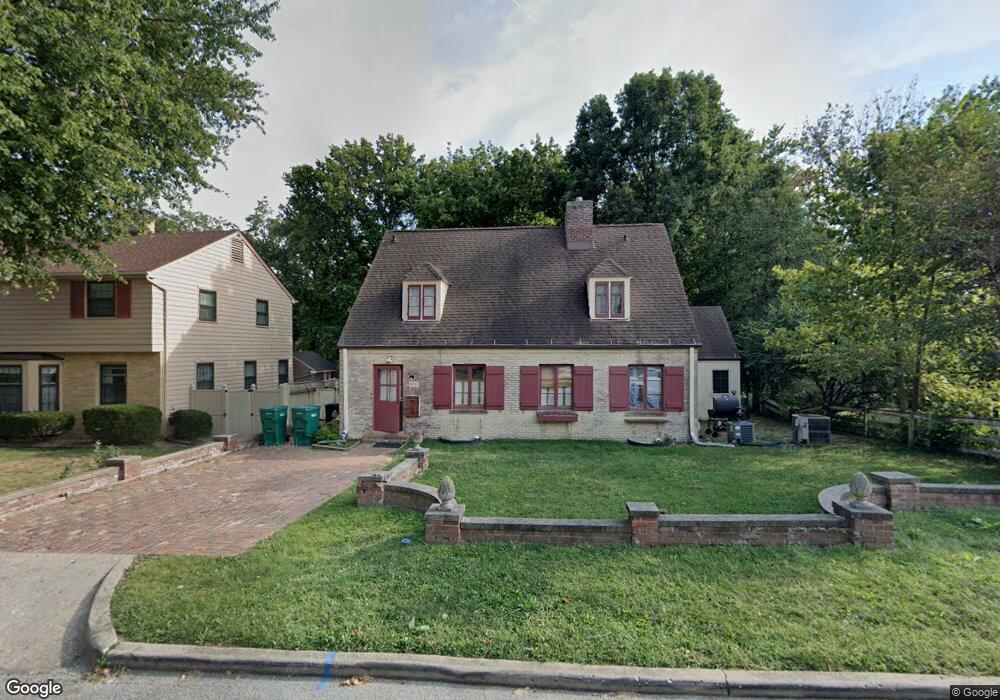
505 W Fielding Ct Decatur, IL 62522
Near West NeighborhoodEstimated Value: $104,376 - $143,000
5
Beds
3
Baths
3,539
Sq Ft
$33/Sq Ft
Est. Value
About This Home
This home is located at 505 W Fielding Ct, Decatur, IL 62522 and is currently estimated at $117,844, approximately $33 per square foot. 505 W Fielding Ct is a home located in Macon County with nearby schools including Dennis Lab School, St. Patrick School, and Teen Challenge-Home For Girls.
Ownership History
Date
Name
Owned For
Owner Type
Purchase Details
Closed on
Sep 12, 2012
Sold by
Talbott Melissa F
Bought by
Shaw Jill M
Current Estimated Value
Home Financials for this Owner
Home Financials are based on the most recent Mortgage that was taken out on this home.
Original Mortgage
$66,025
Outstanding Balance
$45,730
Interest Rate
3.59%
Mortgage Type
New Conventional
Estimated Equity
$72,114
Create a Home Valuation Report for This Property
The Home Valuation Report is an in-depth analysis detailing your home's value as well as a comparison with similar homes in the area
Home Values in the Area
Average Home Value in this Area
Purchase History
| Date | Buyer | Sale Price | Title Company |
|---|---|---|---|
| Shaw Jill M | $69,500 | Central Illionis Ttle Co |
Source: Public Records
Mortgage History
| Date | Status | Borrower | Loan Amount |
|---|---|---|---|
| Open | Shaw Jill M | $66,025 |
Source: Public Records
Tax History Compared to Growth
Tax History
| Year | Tax Paid | Tax Assessment Tax Assessment Total Assessment is a certain percentage of the fair market value that is determined by local assessors to be the total taxable value of land and additions on the property. | Land | Improvement |
|---|---|---|---|---|
| 2024 | $1,652 | $28,064 | $4,369 | $23,695 |
| 2023 | $1,599 | $27,070 | $4,214 | $22,856 |
| 2022 | $1,437 | $25,049 | $3,899 | $21,150 |
| 2021 | $1,790 | $23,394 | $3,642 | $19,752 |
| 2020 | $1,734 | $22,308 | $3,473 | $18,835 |
| 2019 | $1,734 | $22,308 | $3,473 | $18,835 |
| 2018 | $1,695 | $22,136 | $4,139 | $17,997 |
| 2017 | $1,752 | $22,726 | $4,249 | $18,477 |
| 2016 | $1,792 | $22,958 | $4,292 | $18,666 |
| 2015 | $1,692 | $22,552 | $4,216 | $18,336 |
| 2014 | $1,565 | $22,328 | $4,174 | $18,154 |
| 2013 | $1,639 | $23,167 | $4,331 | $18,836 |
Source: Public Records
Map
Nearby Homes
- 580 Powers Ln
- 530 Powers Ln
- 628 W Forest Ave
- 650 S Crea St
- 437 Powers Ln
- 617 W Decatur St
- 440 W Macon St
- 612 W Macon St
- 450 W Macon St
- 657 W Wood St
- 712 W Main St
- 899 W Main St
- 320 W Main St
- 281 W Prairie Ave
- 452 W Prairie Ave
- 442 W Prairie Ave
- 366 W Prairie Ave
- 233 N Edward St
- 1005 W Main St
- 609 W William St
- 501 W Fielding Ct
- 595 Powers Ln
- 538 Bradley Ct
- 526 Bradley Ct
- 530 W Fielding Ct
- 524 W Fielding Ct
- 564 Bradley Ct
- 596 S Monroe St
- 585 Powers Ln
- 545 Bradley Ct
- 525 Bradley Ct
- 605 S Monroe St
- 10 Ewing Place
- 11 Ewing Place
- 555 Powers Ln
- 603 S Monroe St
- 585 S Monroe St
- 601 S Monroe St
- 505 Bradley Ct
- 645 S Monroe St