505 W Shore Rd Otis, ME 04605
Estimated Value: $1,025,000 - $1,153,000
3
Beds
5
Baths
3,389
Sq Ft
$322/Sq Ft
Est. Value
About This Home
This home is located at 505 W Shore Rd, Otis, ME 04605 and is currently estimated at $1,089,969, approximately $321 per square foot. 505 W Shore Rd is a home located in Hancock County with nearby schools including Beech Hill School and Sumner Memorial High School.
Ownership History
Date
Name
Owned For
Owner Type
Purchase Details
Closed on
Nov 17, 2020
Sold by
Ellis Thomas G
Bought by
Day Jacob E and Day Amanda L
Current Estimated Value
Home Financials for this Owner
Home Financials are based on the most recent Mortgage that was taken out on this home.
Original Mortgage
$652,500
Outstanding Balance
$580,632
Interest Rate
2.8%
Mortgage Type
New Conventional
Estimated Equity
$509,337
Create a Home Valuation Report for This Property
The Home Valuation Report is an in-depth analysis detailing your home's value as well as a comparison with similar homes in the area
Home Values in the Area
Average Home Value in this Area
Purchase History
| Date | Buyer | Sale Price | Title Company |
|---|---|---|---|
| Day Jacob E | -- | None Available | |
| Day Jacob E | -- | None Available |
Source: Public Records
Mortgage History
| Date | Status | Borrower | Loan Amount |
|---|---|---|---|
| Open | Day Jacob E | $652,500 | |
| Closed | Day Jacob E | $652,500 |
Source: Public Records
Tax History Compared to Growth
Tax History
| Year | Tax Paid | Tax Assessment Tax Assessment Total Assessment is a certain percentage of the fair market value that is determined by local assessors to be the total taxable value of land and additions on the property. | Land | Improvement |
|---|---|---|---|---|
| 2024 | $6,644 | $726,100 | $286,100 | $440,000 |
| 2023 | $7,172 | $547,500 | $206,200 | $341,300 |
| 2022 | $6,416 | $543,700 | $202,400 | $341,300 |
| 2021 | $5,888 | $543,700 | $202,400 | $341,300 |
| 2020 | $5,709 | $543,700 | $202,400 | $341,300 |
| 2019 | $5,709 | $543,700 | $202,400 | $341,300 |
| 2018 | $5,491 | $543,700 | $202,400 | $341,300 |
| 2017 | $5,410 | $543,700 | $202,400 | $341,300 |
| 2016 | $5,220 | $543,700 | $202,400 | $341,300 |
| 2015 | $5,111 | $543,700 | $202,400 | $341,300 |
Source: Public Records
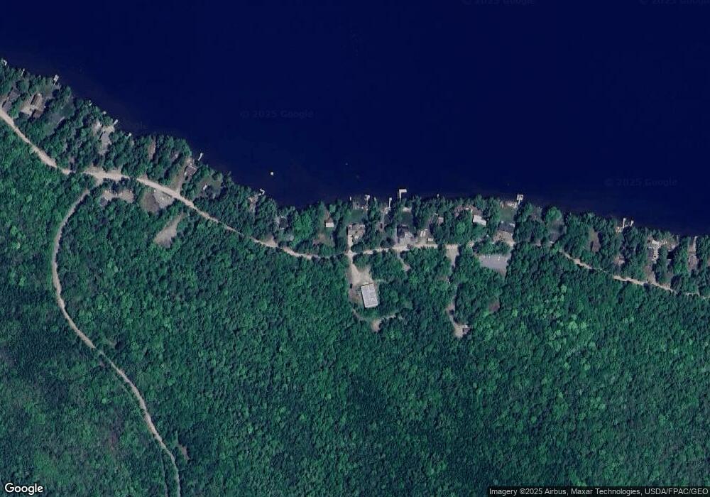
Map
Nearby Homes
- 459 W West Shore Rd
- 461 W Shore Rd
- 14 Sunset Ln
- MAPR5LOT6 Point Rd
- 116 Sandy Beach Ln
- 500 Cosgrove Dr
- 0 Mariaville Rd
- 171 Gary Moore Rd
- 759 Springy Pond Rd
- Lot #1 Garland Rd
- 40 Jesses Beach Way
- Lot 24 Grand View Dr
- 00 Green Lake Rd
- Lot 7 & 8 Hardwood Hill Island
- 206 Morrison Farm Rd
- 641 Mariaville Rd
- 52 Shore Path
- 0 Springy Pond Rd
- 95 Silsby Rd
- 628 Springy Pond Rd
- 497 W Shore Rd
- 517 W Shore Rd
- 481 W Shore Rd
- 481 West Shore
- 01 W Shore Rd
- 535 West Shore
- 711 W West Shore Rd
- 571 W West Shore Rd
- 0 Reunion Unit 940676
- 557 W Shore Rd
- 535 W Shore Rd
- 565 W Shore Rd
- 537 W Shore Rd
- 543 W Shore Rd
- 593 W Shore Rd
- 461 West Shore
- 459 W Shore Rd
- 565 West Shore
- 455 W West Shore Rd
- 487 W Shore Rd