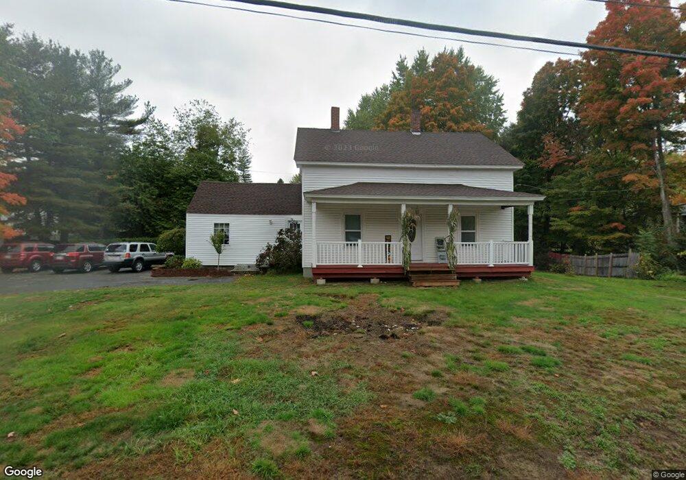
505 Wanoosnoc Rd Fitchburg, MA 01420
Estimated Value: $390,000 - $435,000
4
Beds
1
Bath
1,380
Sq Ft
$294/Sq Ft
Est. Value
About This Home
This home is located at 505 Wanoosnoc Rd, Fitchburg, MA 01420 and is currently estimated at $405,452, approximately $293 per square foot. 505 Wanoosnoc Rd is a home located in Worcester County with nearby schools including South Street Elementary School, Reingold Elementary School, and Crocker Elementary School.
Ownership History
Date
Name
Owned For
Owner Type
Purchase Details
Closed on
May 27, 2005
Sold by
Rheaume Leo C
Bought by
Bennett William C
Current Estimated Value
Home Financials for this Owner
Home Financials are based on the most recent Mortgage that was taken out on this home.
Original Mortgage
$176,800
Outstanding Balance
$93,367
Interest Rate
5.94%
Mortgage Type
Purchase Money Mortgage
Estimated Equity
$312,085
Create a Home Valuation Report for This Property
The Home Valuation Report is an in-depth analysis detailing your home's value as well as a comparison with similar homes in the area
Home Values in the Area
Average Home Value in this Area
Purchase History
| Date | Buyer | Sale Price | Title Company |
|---|---|---|---|
| Bennett William C | $208,000 | -- |
Source: Public Records
Mortgage History
| Date | Status | Borrower | Loan Amount |
|---|---|---|---|
| Open | Bennett William C | $176,800 |
Source: Public Records
Tax History Compared to Growth
Tax History
| Year | Tax Paid | Tax Assessment Tax Assessment Total Assessment is a certain percentage of the fair market value that is determined by local assessors to be the total taxable value of land and additions on the property. | Land | Improvement |
|---|---|---|---|---|
| 2025 | $44 | $327,800 | $112,800 | $215,000 |
| 2024 | $4,442 | $299,900 | $90,200 | $209,700 |
| 2023 | $4,325 | $270,000 | $79,700 | $190,300 |
| 2022 | $4,202 | $238,600 | $76,700 | $161,900 |
| 2021 | $4,021 | $211,300 | $72,200 | $139,100 |
| 2020 | $3,877 | $196,700 | $66,200 | $130,500 |
| 2019 | $3,727 | $181,900 | $72,200 | $109,700 |
| 2018 | $3,399 | $161,800 | $66,200 | $95,600 |
| 2017 | $3,191 | $148,500 | $61,700 | $86,800 |
| 2016 | $2,987 | $140,700 | $58,700 | $82,000 |
| 2015 | $2,918 | $141,100 | $55,700 | $85,400 |
| 2014 | $2,768 | $139,600 | $54,200 | $85,400 |
Source: Public Records
Map
Nearby Homes
- 20 Oregon Ave
- 20 Pleasantview Ave
- 535 South St Unit 4-2A
- 535 South St Unit 14-2A
- 535 South St Unit 11-2A
- 1220 Water St
- 505 Old South St
- 837 Mount Elam Rd
- 17 Woodworth Ave
- 31 Bemis Rd
- 35 Bemis Rd
- 83 Eleanor St
- 19 Mount Carmel St
- 559 Milk St
- 2 Arden Mills Way Unit 2210
- 2 Arden Mills Way Unit 2102
- 55 Canton St
- 90 Albee St
- 22 Westland Ave
- 55 Smith St
- 506 Wanoosnoc Rd
- 31 Saint Martin St
- 493 Wanoosnoc Rd
- 16 Saint Martin St
- 529 Wanoosnoc Rd
- 514 Wanoosnoc Rd
- 490 Wanoosnoc Rd
- 17 Bonner Ave
- 6 Swan Ave
- 39 Saint Martin St
- 37 Bonner Ave
- 26 Swan Ave
- 535 Wanoosnoc Rd
- 42 Saint Martin St
- 476 Wanoosnoc Rd
- 41 Saint Martin St
- 30 Saint Martin St
- 545 Wanoosnoc Rd
- 42 Bonner Ave
- 34 Swan Ave