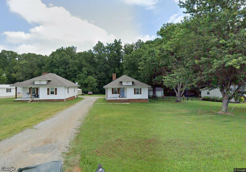
505 Yost Rd Salisbury, NC 28146
Estimated Value: $204,867 - $254,000
Studio
1
Bath
910
Sq Ft
$248/Sq Ft
Est. Value
About This Home
This home is located at 505 Yost Rd, Salisbury, NC 28146 and is currently estimated at $225,467, approximately $247 per square foot. 505 Yost Rd is a home located in Rowan County with nearby schools including China Grove Elementary School, Southeast Middle School, and Jesse C Carson High School.
Ownership History
Date
Name
Owned For
Owner Type
Purchase Details
Closed on
Mar 8, 2021
Sold by
Snead James Wesley and Snead Sherry Ramona
Bought by
Omg Investments Llc
Current Estimated Value
Purchase Details
Closed on
Apr 25, 2019
Sold by
Simpson Patricia A and Simpson Steven M
Bought by
Snead James Wesley and Snead Sherry Ramona
Purchase Details
Closed on
Jun 10, 2014
Sold by
Stoner Thomas R and Stoner Judy R
Bought by
Stoner Thomas R and Stoner Thomas R
Create a Home Valuation Report for This Property
The Home Valuation Report is an in-depth analysis detailing your home's value as well as a comparison with similar homes in the area
Purchase History
We collect this data history from publicly available records. To have your information removed, we recommend requesting removal directly through your county’s website.
| Date | Buyer | Sale Price | Title Company |
|---|---|---|---|
| Omg Investments Llc | $310 | None Listed On Document | |
| Omg Investments Llc | $310 | None Listed On Document | |
| Snead James Wesley | $115,000 | None Available | |
| Stoner Thomas R | -- | None Available |
Source: Public Records
Tax History
| Year | Tax Paid | Tax Assessment Tax Assessment Total Assessment is a certain percentage of the fair market value that is determined by local assessors to be the total taxable value of land and additions on the property. | Land | Improvement |
|---|---|---|---|---|
| 2025 | $1,204 | $179,663 | $29,814 | $149,849 |
| 2024 | $1,204 | $179,663 | $29,814 | $149,849 |
| 2023 | $1,204 | $179,663 | $29,814 | $149,849 |
| 2022 | $763 | $102,043 | $24,690 | $77,353 |
| 2021 | $757 | $102,043 | $24,690 | $77,353 |
| 2020 | $742 | $99,982 | $24,049 | $75,933 |
| 2019 | $742 | $99,982 | $24,049 | $75,933 |
| 2018 | $617 | $83,808 | $24,048 | $59,760 |
| 2017 | $617 | $83,808 | $24,048 | $59,760 |
| 2016 | $617 | $83,808 | $24,048 | $59,760 |
| 2015 | $626 | $83,808 | $24,048 | $59,760 |
| 2014 | $625 | $87,770 | $24,048 | $63,722 |
Source: Public Records
Map
Nearby Homes
- 1084 Castlebrook Dr
- 112 John Michael Ln
- 0 Brookfield Cir Unit CAR4292885
- 380 Pop Stirewalt Rd
- 0 Maple St
- 1352 Eva Ln
- 425 Acorn Oaks Dr
- 0 Blackwelder Rd Unit 1
- 0 Blackwelder Rd Unit 2
- 0 Blackwelder Rd Unit 3
- 475 Pamela St
- 1012 Saint Paul Church Rd
- 1140 Peeler Rd
- 3985 Mount Hope Church Rd
- 225 Dulin Ave
- 137 Stafford Estates Dr
- 1100 Peach Orchard Rd
- 155 Blevins Ln
- 325 Log Barn Rd
- 124 Settlers Grove Ln
Your Personal Tour Guide
Ask me questions while you tour the home.