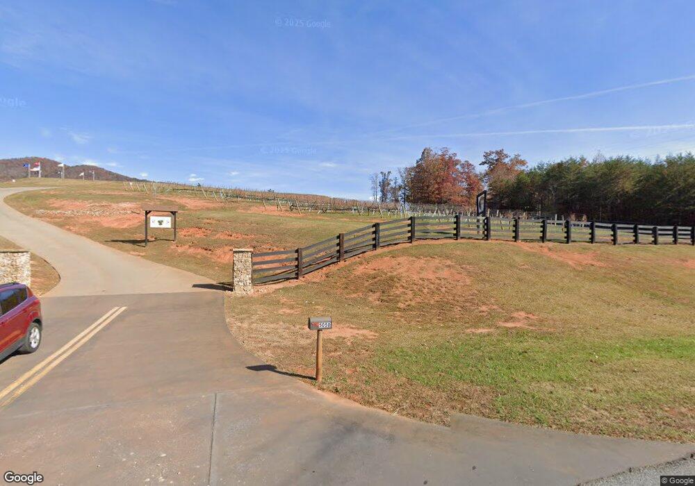
5050 Highway 129 N Cleveland, GA 30528
Estimated Value: $409,000 - $2,522,000
--
Bed
--
Bath
1,275
Sq Ft
$1,156/Sq Ft
Est. Value
About This Home
This home is located at 5050 Highway 129 N, Cleveland, GA 30528 and is currently estimated at $1,474,509, approximately $1,156 per square foot. 5050 Highway 129 N is a home with nearby schools including Tesnatee Gap Elementary (Old White County Intermediate), White County 9th Grade Academy, and Jack P. Nix Elementary School.
Ownership History
Date
Name
Owned For
Owner Type
Purchase Details
Closed on
Feb 16, 2023
Sold by
Ukani Group Inc
Bought by
The Grape Estates Llc
Current Estimated Value
Purchase Details
Closed on
Aug 25, 2022
Sold by
James & Sandra Penner Family Limited Par
Bought by
Ukani Grp Inc
Home Financials for this Owner
Home Financials are based on the most recent Mortgage that was taken out on this home.
Original Mortgage
$1,251,790
Interest Rate
5.3%
Mortgage Type
New Conventional
Purchase Details
Closed on
Mar 1, 2013
Sold by
Penner James
Bought by
James Sandra Penner F
Create a Home Valuation Report for This Property
The Home Valuation Report is an in-depth analysis detailing your home's value as well as a comparison with similar homes in the area
Home Values in the Area
Average Home Value in this Area
Purchase History
| Date | Buyer | Sale Price | Title Company |
|---|---|---|---|
| The Grape Estates Llc | -- | -- | |
| Ukani Grp Inc | $2,017,233 | -- | |
| James Sandra Penner F | -- | -- |
Source: Public Records
Mortgage History
| Date | Status | Borrower | Loan Amount |
|---|---|---|---|
| Previous Owner | Ukani Grp Inc | $1,251,790 |
Source: Public Records
Tax History Compared to Growth
Tax History
| Year | Tax Paid | Tax Assessment Tax Assessment Total Assessment is a certain percentage of the fair market value that is determined by local assessors to be the total taxable value of land and additions on the property. | Land | Improvement |
|---|---|---|---|---|
| 2025 | $10,483 | $538,304 | $140,368 | $397,936 |
| 2024 | $10,483 | $503,212 | $105,276 | $397,936 |
| 2023 | $10,886 | $479,972 | $93,580 | $386,392 |
| 2022 | $7,366 | $390,508 | $93,580 | $296,928 |
| 2021 | $5,260 | $276,152 | $93,148 | $183,004 |
| 2020 | $6,230 | $295,516 | $104,540 | $190,976 |
| 2019 | $6,051 | $288,764 | $104,540 | $184,224 |
| 2018 | $6,043 | $288,764 | $104,540 | $184,224 |
| 2017 | $3,902 | $208,836 | $94,252 | $114,584 |
| 2016 | $3,895 | $208,836 | $94,252 | $114,584 |
| 2015 | $3,941 | $368,990 | $75,288 | $136,588 |
| 2014 | $1,081 | $101,070 | $0 | $0 |
Source: Public Records
Map
Nearby Homes
- 47 Sage Brush Dr
- 94 Big Jim Rd
- 166 High Meadow Trail
- 4179 Highway 129 N
- 431 Paradise Valley Rd
- 773 Paradise Valley Rd
- 86 Back Trail
- 138 Back Trail
- 0 Mill Creek Trail Unit 7652045
- 0 Mill Creek Trail Unit 10608217
- 95 Hillcrest Ct
- 95 Hill Crest Ct
- 14 Hidden Valley Rd
- 111 Maple Wood Ln
- 448 Hidden Valley Rd
- 436 Hidden Valley Rd
- 21 Happy Trail
- 407 Hidden Valley Rd
- 318 Hidden Valley Rd
- 308 Hidden Valley Rd
- 43 Thornblade Trail
- 37 Thornblade Trail
- 9 Thornblade Trail
- 49 Thornblade Trail
- 0 Thornblade Trail Unit 315231
- 0 Thornblade Trail Unit 20033064
- 0 Thornblade Trail Unit 8975904
- 0 Thornblade Trail Unit 6881669
- 0 Thornblade Trail Unit 8771947
- 0 Thornblade Trail Unit Lot 9 8883476
- 0 Thornblade Trail
- 255 Prairie Flower Dr
- 354 Prairie Flower Dr
- 349 Prairie Flower Dr
- 99 Thornblade Trail
- 201 Prairie Flower Dr
- 5420 Highway 129 North N
- 5001 U S 129
- 131 Thornblade Trail
- 5001 Highway 129 N