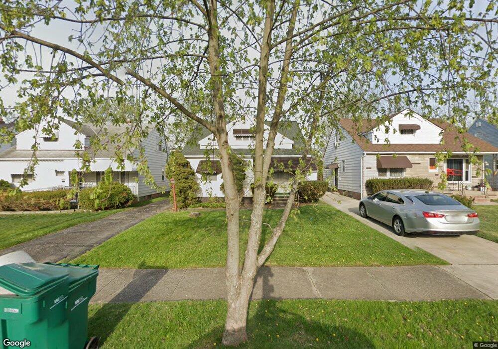
5050 Philip Ave Maple Heights, OH 44137
Estimated Value: $117,000 - $142,000
3
Beds
1
Bath
1,272
Sq Ft
$98/Sq Ft
Est. Value
About This Home
This home is located at 5050 Philip Ave, Maple Heights, OH 44137 and is currently estimated at $125,110, approximately $98 per square foot. 5050 Philip Ave is a home located in Cuyahoga County with nearby schools including Abraham Lincoln Elementary School, Rockside/ J.F. Kennedy School, and Barack Obama School.
Ownership History
Date
Name
Owned For
Owner Type
Purchase Details
Closed on
Jul 1, 1992
Sold by
Hicks August
Bought by
Uwagie-Ero Armatha A
Current Estimated Value
Purchase Details
Closed on
Oct 31, 1986
Sold by
Anderle Joseph and Anderle Pauline D
Bought by
Hicks August
Purchase Details
Closed on
Jan 1, 1975
Bought by
Anderle Joseph and Anderle Pauline D
Create a Home Valuation Report for This Property
The Home Valuation Report is an in-depth analysis detailing your home's value as well as a comparison with similar homes in the area
Home Values in the Area
Average Home Value in this Area
Purchase History
| Date | Buyer | Sale Price | Title Company |
|---|---|---|---|
| Uwagie-Ero Armatha A | $59,000 | -- | |
| Hicks August | -- | -- | |
| Hicks August | $53,000 | -- | |
| Anderle Joseph | -- | -- |
Source: Public Records
Tax History Compared to Growth
Tax History
| Year | Tax Paid | Tax Assessment Tax Assessment Total Assessment is a certain percentage of the fair market value that is determined by local assessors to be the total taxable value of land and additions on the property. | Land | Improvement |
|---|---|---|---|---|
| 2024 | $3,239 | $35,945 | $7,140 | $28,805 |
| 2023 | $2,032 | $18,450 | $4,340 | $14,110 |
| 2022 | $2,025 | $18,450 | $4,340 | $14,110 |
| 2021 | $2,155 | $18,450 | $4,340 | $14,110 |
| 2020 | $1,849 | $13,970 | $3,290 | $10,680 |
| 2019 | $1,838 | $39,900 | $9,400 | $30,500 |
| 2018 | $1,677 | $13,970 | $3,290 | $10,680 |
| 2017 | $1,656 | $12,080 | $3,010 | $9,070 |
| 2016 | $1,602 | $12,080 | $3,010 | $9,070 |
| 2015 | $4,330 | $12,080 | $3,010 | $9,070 |
| 2014 | $4,330 | $13,270 | $3,330 | $9,940 |
Source: Public Records
Map
Nearby Homes
- 5061 Philip Ave
- 5082 Philip Ave
- 5110 Philip Ave
- 5031 Cato St
- 5185 Clement Ave
- 5208 Clement Ave
- 16712 Kollin Ave
- 5231 Philip Ave
- 5199 Arch St
- 5212 Catherine St
- 5257 Philip Ave
- 5239 Arch St
- 5210 Theodore St
- 5234 Erwin St
- 5320 Clement Ave
- 16241 Glenburn Ave
- 4737 E 174th St
- 16312 Sunny Glenn Ave
- 17916 North Blvd
- 17912 North Blvd
- 5050 Philip 3 4ab
- 5046 Philip 3 4ab
- 5054 Philip Ave
- 5046 Philip Ave
- 5042 Philip Ave
- 5058 Philip Ave
- 5038 Philip Ave
- 5062 Philip Ave
- 5057 Catherine St
- 5053 Catherine St
- 5061 Catherine St
- 5066 Philip Ave
- 5034 Philip Ave
- 5049 Catherine St
- 5065 Catherine St
- 5049 Philip Ave
- 5045 Philip Ave
- 5053 Philip Ave
- 5070 Philip Ave
- 5041 Philip Ave