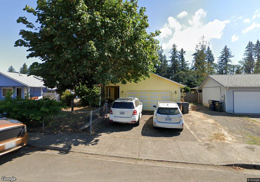
5051 Forsythia Dr Springfield, OR 97478
East Springfield NeighborhoodEstimated Value: $387,161 - $429,000
3
Beds
2
Baths
1,259
Sq Ft
$323/Sq Ft
Est. Value
About This Home
This home is located at 5051 Forsythia Dr, Springfield, OR 97478 and is currently estimated at $406,790, approximately $323 per square foot. 5051 Forsythia Dr is a home located in Lane County with nearby schools including Mt. Vernon Elementary School, Agnes Stewart Middle School, and Thurston High School.
Ownership History
Date
Name
Owned For
Owner Type
Purchase Details
Closed on
May 1, 2019
Sold by
Pearce Robert E and Pearce Kina M
Bought by
Syrios William L and The Syrios Trust
Current Estimated Value
Purchase Details
Closed on
Jun 25, 2001
Sold by
Schamber Larry M and Schamber Linda D
Bought by
Pearce Robert E and Pearce Kina M
Home Financials for this Owner
Home Financials are based on the most recent Mortgage that was taken out on this home.
Original Mortgage
$125,037
Interest Rate
7.14%
Mortgage Type
FHA
Create a Home Valuation Report for This Property
The Home Valuation Report is an in-depth analysis detailing your home's value as well as a comparison with similar homes in the area
Home Values in the Area
Average Home Value in this Area
Purchase History
| Date | Buyer | Sale Price | Title Company |
|---|---|---|---|
| Syrios William L | $192,000 | None Available | |
| Pearce Robert E | $127,000 | Western Pioneer Title Co |
Source: Public Records
Mortgage History
| Date | Status | Borrower | Loan Amount |
|---|---|---|---|
| Previous Owner | Pearce Robert E | $125,037 |
Source: Public Records
Tax History Compared to Growth
Tax History
| Year | Tax Paid | Tax Assessment Tax Assessment Total Assessment is a certain percentage of the fair market value that is determined by local assessors to be the total taxable value of land and additions on the property. | Land | Improvement |
|---|---|---|---|---|
| 2025 | $3,996 | $217,905 | -- | -- |
| 2024 | $3,931 | $211,559 | -- | -- |
| 2023 | $3,931 | $205,398 | $0 | $0 |
| 2022 | $3,641 | $199,416 | $0 | $0 |
| 2021 | $3,576 | $193,608 | $0 | $0 |
| 2020 | $3,471 | $187,969 | $0 | $0 |
| 2019 | $3,367 | $182,495 | $0 | $0 |
| 2018 | $3,174 | $172,019 | $0 | $0 |
| 2017 | $3,052 | $172,019 | $0 | $0 |
| 2016 | $2,988 | $167,009 | $0 | $0 |
| 2015 | $2,900 | $162,145 | $0 | $0 |
| 2014 | $2,816 | $157,422 | $0 | $0 |
Source: Public Records
Map
Nearby Homes
- The Darrington Plan at Woodland Ridge
- 5150 Holly St
- 5190 Holly St
- 5128 Holly St
- The Cascade Plan at Woodland Ridge
- The Harrison Plan at Woodland Ridge
- The Talent Plan at Woodland Ridge
- The Middleton Plan at Woodland Ridge
- 5112 Holly St
- 5142 Holly St
- 5184 Holly St
- The Edgewood Plan at Woodland Ridge
- The Hudson Plan at Woodland Ridge
- 4970 Squirrel St
- 5258 Cedar View Dr
- 5236 Cedar View Dr
- 5270 Cedar View Dr
- 4967 Cedar View Dr
- 5273 Cedar View Dr
- 5211 Cedar View Dr
- 5041 Forsythia Dr
- 5065 Forsythia Dr
- 5065 Forsythia St
- 5029 Forsythia Dr
- 5077 Forsythia Dr
- 5077 Forsythia St
- 5040 Forsythia St
- 5064 Forsythia St
- 5056 Squirrel St
- 5068 Squirrel St
- 5052 Forsythia St
- 5052 Forsythia Dr
- 5038 Squirrel St
- 5007 Forsythia Dr
- 5007 Forsythia St
- 5040 Forsythia Dr
- 5064 Forsythia Dr
- 5091 Forsythia Dr
- 5072 Squirrel St
- 5024 Squirrel St