50518 Allen Dr Loranger, LA 70446
Estimated Value: $258,000 - $534,000
4
Beds
3
Baths
3,000
Sq Ft
$129/Sq Ft
Est. Value
About This Home
This home is located at 50518 Allen Dr, Loranger, LA 70446 and is currently estimated at $386,885, approximately $128 per square foot. 50518 Allen Dr is a home located in Tangipahoa Parish with nearby schools including Loranger Elementary School, Loranger Middle School, and Loranger High School.
Ownership History
Date
Name
Owned For
Owner Type
Purchase Details
Closed on
Dec 23, 2008
Sold by
Matherne Carolyn Burns
Bought by
Tillinghast William T
Current Estimated Value
Purchase Details
Closed on
Jun 15, 2005
Sold by
Vicknair Shane Joseph and Vicknair Suzanne Marie Childress
Bought by
Matherne Dick Noel
Home Financials for this Owner
Home Financials are based on the most recent Mortgage that was taken out on this home.
Original Mortgage
$200,800
Interest Rate
5.78%
Mortgage Type
Future Advance Clause Open End Mortgage
Create a Home Valuation Report for This Property
The Home Valuation Report is an in-depth analysis detailing your home's value as well as a comparison with similar homes in the area
Home Values in the Area
Average Home Value in this Area
Purchase History
| Date | Buyer | Sale Price | Title Company |
|---|---|---|---|
| Tillinghast William T | $405,000 | Delta Title Corp | |
| Matherne Dick Noel | $251,000 | Hammond Title Co Inc |
Source: Public Records
Mortgage History
| Date | Status | Borrower | Loan Amount |
|---|---|---|---|
| Previous Owner | Matherne Dick Noel | $200,800 |
Source: Public Records
Tax History Compared to Growth
Tax History
| Year | Tax Paid | Tax Assessment Tax Assessment Total Assessment is a certain percentage of the fair market value that is determined by local assessors to be the total taxable value of land and additions on the property. | Land | Improvement |
|---|---|---|---|---|
| 2024 | $1,503 | $19,600 | $2,331 | $17,269 |
| 2023 | $1,499 | $19,440 | $2,171 | $17,269 |
| 2022 | $1,499 | $19,440 | $2,171 | $17,269 |
| 2021 | $927 | $19,440 | $2,171 | $17,269 |
| 2020 | $1,499 | $19,440 | $2,171 | $17,269 |
| 2019 | $1,494 | $19,440 | $2,171 | $17,269 |
| 2018 | $1,500 | $19,440 | $2,171 | $17,269 |
| 2017 | $1,500 | $19,440 | $2,171 | $17,269 |
| 2016 | $1,500 | $19,440 | $2,171 | $17,269 |
| 2015 | $964 | $19,979 | $2,171 | $17,808 |
| 2014 | $963 | $19,979 | $2,171 | $17,808 |
Source: Public Records
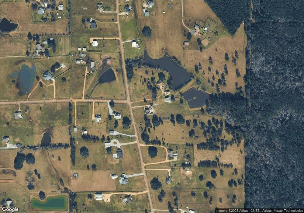
Map
Nearby Homes
- 50277 (Lot 5) Allen Dr
- 50293 (Lot 3) Allen Dr
- 50320 (Lot 2) Allen Dr
- 50319 (Lot 1) Allen Dr
- 50278 (Lot 6) Allen Dr
- 49475 Ravenwood Dr
- 51439 Allen Dr
- 21329 Louisiana 40
- 50029 Creekside Dr
- 49448 Gateway Dr
- 23343 Eastman Ln
- 52212 Ditta Dr
- 50273 La Highway 443
- Wendell IV G Plan at Savannahs
- Prospect V G Plan at Savannahs
- Hoffman IV H Plan at Savannahs
- Raleigh V H Plan at Savannahs
- Newton IV G Plan at Savannahs
- Belhaven IV G Plan at Savannahs
- Aspen Plan at Savannahs
- 22095 Catherine Dr
- 51022 Allen Dr
- 22160 Catherine Dr
- 50470 Allen Dr
- 22130 Catherine Dr
- 50467 Allen Dr
- 51068 Allen Dr
- 50440 Allen Dr
- 50439 Allen Dr
- 22086 Catherine Dr
- 50417 Allen Dr
- 22190 Cross Ln
- 51075 Allen Dr
- 51106 Allen Dr
- 22146 Cross Ln
- 22075 Catherine Dr
- 50402 Allen Dr
- 22168 Cross Ln
- 51095 Allen Dr
- 50396 Allen Dr