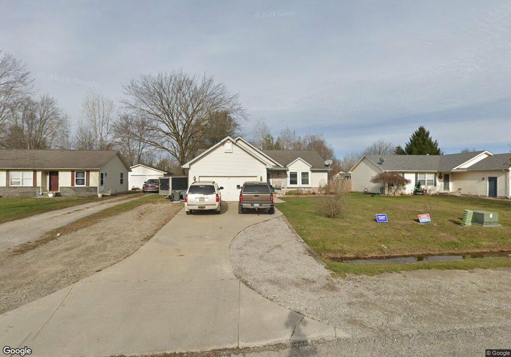
5052 Anglewood Ct Kimball, MI 48074
Estimated Value: $238,113 - $285,000
3
Beds
2
Baths
1,176
Sq Ft
$230/Sq Ft
Est. Value
About This Home
This home is located at 5052 Anglewood Ct, Kimball, MI 48074 and is currently estimated at $270,028, approximately $229 per square foot. 5052 Anglewood Ct is a home located in St. Clair County with nearby schools including Kimball Elementary School, Central Middle School, and Port Huron High School.
Ownership History
Date
Name
Owned For
Owner Type
Purchase Details
Closed on
Jul 29, 2005
Sold by
Cummins Jeremy C and Cummins Shirley A
Bought by
Burgett Donald F and Burgett Angela L
Current Estimated Value
Home Financials for this Owner
Home Financials are based on the most recent Mortgage that was taken out on this home.
Original Mortgage
$128,000
Outstanding Balance
$66,393
Interest Rate
5.66%
Mortgage Type
New Conventional
Estimated Equity
$203,635
Create a Home Valuation Report for This Property
The Home Valuation Report is an in-depth analysis detailing your home's value as well as a comparison with similar homes in the area
Home Values in the Area
Average Home Value in this Area
Purchase History
| Date | Buyer | Sale Price | Title Company |
|---|---|---|---|
| Burgett Donald F | $160,000 | Metropolitaon Title Co |
Source: Public Records
Mortgage History
| Date | Status | Borrower | Loan Amount |
|---|---|---|---|
| Open | Burgett Donald F | $128,000 |
Source: Public Records
Tax History Compared to Growth
Tax History
| Year | Tax Paid | Tax Assessment Tax Assessment Total Assessment is a certain percentage of the fair market value that is determined by local assessors to be the total taxable value of land and additions on the property. | Land | Improvement |
|---|---|---|---|---|
| 2025 | $1,555 | $113,800 | $0 | $0 |
| 2024 | $851 | $113,500 | $0 | $0 |
| 2023 | $780 | $107,800 | $0 | $0 |
| 2022 | $1,399 | $96,600 | $0 | $0 |
| 2021 | $1,273 | $81,400 | $0 | $0 |
| 2020 | $1,273 | $78,900 | $78,900 | $0 |
| 2019 | $1,252 | $72,200 | $0 | $0 |
| 2018 | $1,226 | $70,500 | $0 | $0 |
| 2017 | $1,205 | $64,900 | $0 | $0 |
| 2016 | $635 | $64,900 | $0 | $0 |
| 2015 | -- | $59,200 | $59,200 | $0 |
| 2014 | -- | $44,600 | $44,600 | $0 |
| 2013 | -- | $63,200 | $0 | $0 |
Source: Public Records
Map
Nearby Homes
- 1604 Allen Rd
- 1091 Allen Rd
- 1701 Allen Rd
- V/L Allen
- 0 Ravenswood Rd Unit 20251017048
- 0000 Ravenswood Rd
- 00 Range Rd
- 4632 Cloverdale Ln
- 1979 Allen Rd
- 1405 Range Rd
- 4595 Griswold Rd
- 5510 Griswold Rd
- 183 Nevada Ave
- 1876 Morningstar Ave
- 174 Meadow Ln
- 00 Howard Rd
- 153 Meadow Ln
- 104 Oldbrook Ln
- 0000 Wisconsin Ave
- 0000 Range Rd
- 5050 Anglewood Ct
- 5054 Anglewood Ct
- 5056 Anglewood Ct
- 1395 Bellewood Dr
- 1405 Bellewood Dr
- 5058 Anglewood Ct
- 1417 Bellewood Dr
- 5053 Anglewood Ct
- 5051 Anglewood Ct
- 5055 Anglewood Ct
- 5049 Anglewood Ct
- 1427 Bellewood Dr
- 5057 Anglewood Ct
- 5060 Anglewood Ct
- 5047 Anglewood Ct
- 1435 Bellewood Dr
- 5059 Anglewood Ct
- 5045 Anglewood Ct
- 5062 Anglewood Ct
- 1400 Bellewood Dr