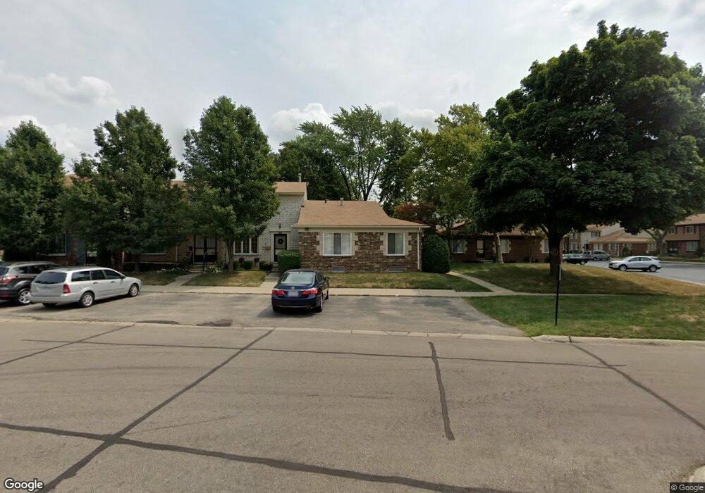
5052 Coventry St Unit Bldg-Unit Royal Oak, MI 48073
Estimated Value: $220,000 - $283,000
2
Beds
2
Baths
1,181
Sq Ft
$206/Sq Ft
Est. Value
About This Home
This home is located at 5052 Coventry St Unit Bldg-Unit, Royal Oak, MI 48073 and is currently estimated at $243,045, approximately $205 per square foot. 5052 Coventry St Unit Bldg-Unit is a home located in Oakland County with nearby schools including Alfred E. Upton Elementary School, Royal Oak Middle School, and Royal Oak High School.
Ownership History
Date
Name
Owned For
Owner Type
Purchase Details
Closed on
May 4, 2011
Sold by
Campitelle Christina R
Bought by
Dababneh Mary Ann
Current Estimated Value
Purchase Details
Closed on
Apr 27, 2011
Sold by
Dababneh Matthew
Bought by
Campitelle Christina R
Purchase Details
Closed on
May 17, 2000
Sold by
Bondy Norman J
Bought by
Essa Edward
Purchase Details
Closed on
Apr 13, 1998
Sold by
Hinske Martha E
Bought by
Bondy Norman J
Purchase Details
Closed on
Oct 31, 1995
Sold by
Hinske Martha E
Bought by
Martha E Hinske Tr
Create a Home Valuation Report for This Property
The Home Valuation Report is an in-depth analysis detailing your home's value as well as a comparison with similar homes in the area
Home Values in the Area
Average Home Value in this Area
Purchase History
| Date | Buyer | Sale Price | Title Company |
|---|---|---|---|
| Dababneh Mary Ann | -- | Attorney | |
| Campitelle Christina R | $87,820 | None Available | |
| Essa Edward | $154,000 | -- | |
| Bondy Norman J | $134,950 | -- | |
| Martha E Hinske Tr | -- | -- |
Source: Public Records
Tax History Compared to Growth
Tax History
| Year | Tax Paid | Tax Assessment Tax Assessment Total Assessment is a certain percentage of the fair market value that is determined by local assessors to be the total taxable value of land and additions on the property. | Land | Improvement |
|---|---|---|---|---|
| 2024 | $2,318 | $108,610 | $0 | $0 |
| 2022 | $2,529 | $97,020 | $0 | $0 |
| 2020 | $2,236 | $86,750 | $0 | $0 |
| 2018 | $2,529 | $78,100 | $0 | $0 |
| 2017 | $2,297 | $78,100 | $0 | $0 |
| 2015 | -- | $50,110 | $0 | $0 |
| 2014 | -- | $40,860 | $0 | $0 |
| 2011 | -- | $39,120 | $0 | $0 |
Source: Public Records
Map
Nearby Homes
- 4952 Coventry St Unit 315
- 4909 Coventry St Unit 287
- 1806 Torquay Ave
- 1936 Torquay Ave Unit 205
- 4921 N Crooks Rd Unit N-10
- 4909 Crooks Rd Unit C7
- 4909 Crooks Rd Unit 4
- 4921 Crooks Rd Unit M-10
- 5011 Thorncroft Ave
- 2420 Parmenter Blvd Unit 101
- 2440 Parmenter Blvd Unit 112
- 4859 Mansfield Ave Unit H5
- 4830 Briarwood Ave Unit 2
- 4859 Mansfield Ave Unit H-06
- 4910 Briarwood Ave Unit A 1
- 4820 Briarwood Ave Unit 4
- 4840 Briarwood Ave Unit 8
- 2344 W 14 Mile Rd Unit 7
- 846 Phillips Ave
- 4514 Thorncroft Ave
- 5052 Coventry St Unit 254
- 1861 Newporte Ct
- 1842 Shire Ct Unit 258
- 1842 Shire Ct
- 1842 Shire Ct Unit 36, 258
- 5072 Coventry St
- 1872 Newporte Ct
- 1822 Shire Ct
- 1972 Ridge Ct
- 5045 Coventry St
- 1882 Newporte Ct Unit 242
- 5081 Coventry St
- 1851 Shire Ct
- 1812 Shire Ct Unit 38, 266
- 1812 Shire Ct
- 1812 Shire Ct Unit 266
- 1982 Ridge Ct
- 1851 Torquay Ave
- 1831 Shire Ct Unit 326
- 1951 Ridge Ct Unit 39