Estimated Value: $240,373 - $610,000
--
Bed
--
Bath
2,140
Sq Ft
$214/Sq Ft
Est. Value
About This Home
This home is located at 5052 State Highway 133, Blair, NE 68008 and is currently estimated at $457,124, approximately $213 per square foot. 5052 State Highway 133 is a home located in Washington County with nearby schools including Blair High School.
Ownership History
Date
Name
Owned For
Owner Type
Purchase Details
Closed on
May 8, 2025
Sold by
Kirkpatrick Gary D
Bought by
Kirkpatrick Ryan D
Current Estimated Value
Purchase Details
Closed on
Nov 11, 2024
Sold by
Kirkpatrick Gary D
Bought by
Kirkpatrick Gary D
Purchase Details
Closed on
Mar 7, 2024
Sold by
Kirkpatrick Gary D
Bought by
Kirkpatrick Gary D
Create a Home Valuation Report for This Property
The Home Valuation Report is an in-depth analysis detailing your home's value as well as a comparison with similar homes in the area
Home Values in the Area
Average Home Value in this Area
Purchase History
| Date | Buyer | Sale Price | Title Company |
|---|---|---|---|
| Kirkpatrick Ryan D | -- | None Listed On Document | |
| Kirkpatrick Gary D | -- | None Listed On Document | |
| Kirkpatrick Gary D | -- | None Listed On Document |
Source: Public Records
Mortgage History
| Date | Status | Borrower | Loan Amount |
|---|---|---|---|
| Previous Owner | Kirkpatrick Gary D | $152,166 | |
| Previous Owner | Kirkpatrick Gary D | $139,452 | |
| Previous Owner | Kirkpatrick Gary D | $46,902 | |
| Previous Owner | Kirkpatrick Gary D | $25,000 | |
| Previous Owner | Kirkpatrick Gary D | $44,000 | |
| Previous Owner | Xirkpatrick Gary D | $15,000 | |
| Previous Owner | Kirkpatrick Gary D | $124,000 |
Source: Public Records
Tax History Compared to Growth
Tax History
| Year | Tax Paid | Tax Assessment Tax Assessment Total Assessment is a certain percentage of the fair market value that is determined by local assessors to be the total taxable value of land and additions on the property. | Land | Improvement |
|---|---|---|---|---|
| 2024 | $477 | $112,015 | $109,015 | $3,000 |
| 2023 | $5,761 | $456,575 | $113,000 | $343,575 |
| 2022 | $5,975 | $391,120 | $72,690 | $318,430 |
| 2021 | $5,745 | $373,550 | $72,690 | $300,860 |
| 2020 | $5,641 | $353,785 | $72,690 | $281,095 |
| 2019 | $5,563 | $331,345 | $71,945 | $259,400 |
| 2018 | $5,091 | $301,660 | $71,945 | $229,715 |
| 2017 | $4,632 | $285,890 | $72,895 | $212,995 |
| 2016 | $4,614 | $285,890 | $72,895 | $212,995 |
| 2015 | $4,093 | $262,435 | $71,940 | $190,495 |
| 2014 | $4,093 | $260,295 | $69,800 | $190,495 |
Source: Public Records
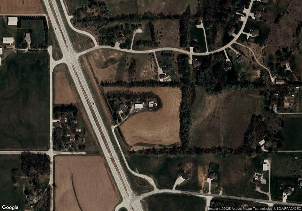
Map
Nearby Homes
- Lot 21 Block 8 Hiland Dr
- 11153 N Lakeshore Dr
- Lot 21 Block 3 Sunset Dr
- 11846 County Road 36
- Parcel 2 Road 34
- 6170 Hidden Valley Ln
- 6318 Sundown Dr
- 12425 Keri Cir
- Allen Hills Lot 9 Cir
- County Road 32 Old Oak Ln Unit Tax Lot 95
- 2923 County Road 33 County Rd
- 6361 County Road P35
- 24 Acres County Road 33 County Rd
- 14558 County Road 36
- 6063 Glen Oaks Dr
- 3125 Hilltop Dr
- TBD County Road P32 & P39
- TBD County Road P36 Tract 1 Rd
- 108 E 3rd St
- 2857 Ravae Ln
- 5064 County Road 33
- 11785 Todd Dr
- 11978 County Road 34 County Rd
- 11978 County Road 34
- 11850 Todd Dr
- 11735 Todd Dr
- Lot 26 & 27 Crest Ridge
- 11786 County Road 34
- 11734 Todd Dr
- 11728 County Road 34
- 11685 Todd Dr
- 5263 County Road 33
- 11679 Todd Dr
- 5360 State Highway 133
- 4955 County Road 33 County Rd
- 4955 County Road 33
- 4955 County Road 33
- 4955 County Road 33
- 11670 Todd Dr
- 4883 Crest Ridge Loop