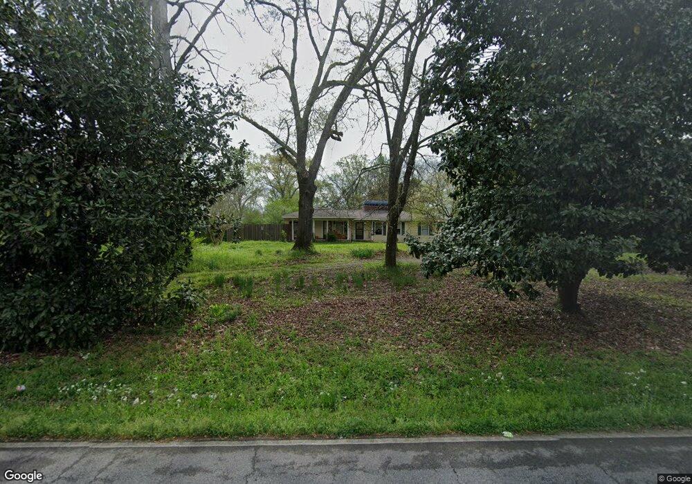
5053 Shady Grove Rd Mount Olive, AL 35117
Estimated Value: $275,000 - $500,009
3
Beds
2
Baths
2,176
Sq Ft
$164/Sq Ft
Est. Value
About This Home
This home is located at 5053 Shady Grove Rd, Mount Olive, AL 35117 and is currently estimated at $356,502, approximately $163 per square foot. 5053 Shady Grove Rd is a home located in Jefferson County with nearby schools including Gardendale Elementary School, Bragg Middle School, and Gardendale High School.
Ownership History
Date
Name
Owned For
Owner Type
Purchase Details
Closed on
Sep 5, 2025
Sold by
Douglas John
Bought by
Cain John
Current Estimated Value
Purchase Details
Closed on
Jan 3, 2025
Sold by
Douglas John L and Douglas Robbie
Bought by
Douglas John L and Douglas Robbie
Purchase Details
Closed on
Jan 13, 2021
Sold by
Dickerson Jessica
Bought by
Douglas John L
Purchase Details
Closed on
Dec 13, 2004
Sold by
Saulters Gary W
Bought by
Douglas John L and Douglas Linda K T
Home Financials for this Owner
Home Financials are based on the most recent Mortgage that was taken out on this home.
Original Mortgage
$144,000
Interest Rate
5.66%
Mortgage Type
New Conventional
Create a Home Valuation Report for This Property
The Home Valuation Report is an in-depth analysis detailing your home's value as well as a comparison with similar homes in the area
Home Values in the Area
Average Home Value in this Area
Purchase History
| Date | Buyer | Sale Price | Title Company |
|---|---|---|---|
| Cain John | $45,000 | -- | |
| Douglas John L | $21,000 | None Listed On Document | |
| Douglas John L | $190,000 | -- | |
| Douglas John L | $180,000 | -- |
Source: Public Records
Mortgage History
| Date | Status | Borrower | Loan Amount |
|---|---|---|---|
| Previous Owner | Douglas John L | $144,000 |
Source: Public Records
Tax History Compared to Growth
Tax History
| Year | Tax Paid | Tax Assessment Tax Assessment Total Assessment is a certain percentage of the fair market value that is determined by local assessors to be the total taxable value of land and additions on the property. | Land | Improvement |
|---|---|---|---|---|
| 2024 | $680 | $20,600 | -- | -- |
| 2022 | $0 | $25,970 | $10,500 | $15,470 |
| 2021 | $595 | $21,600 | $10,500 | $11,100 |
| 2020 | $595 | $21,600 | $10,500 | $11,100 |
| 2019 | $594 | $12,920 | $0 | $0 |
| 2018 | $520 | $11,440 | $0 | $0 |
| 2017 | $529 | $11,620 | $0 | $0 |
| 2016 | $506 | $11,160 | $0 | $0 |
| 2015 | $505 | $11,140 | $0 | $0 |
| 2014 | $611 | $11,780 | $0 | $0 |
| 2013 | $611 | $10,960 | $0 | $0 |
Source: Public Records
Map
Nearby Homes
- 5190 Memory Ln
- 5113 Biddle Cir Unit Lot
- 5236 Stevens Ct
- 5253 Stevens Ct
- 561 Gary Dr
- 5301 Stevens Ct
- 5113 Sutherland Rd
- 4507 Shady Grove Rd
- 4723 Crestview Dr
- 5388 Memory Ln
- 4681 Northridge Dr
- 4848 Cornelius Dr
- 4674 Northridge Dr
- 671 Longwood Place
- 873 Fieldstown Cir
- 961 Westwood Rd
- 890 Fieldstown Cir
- 5224 Elm Rd
- 716 Kerr Dr
- 4555 Eldorado Dr
- 5030 Shady Grove Rd
- 5030 Shady Grove Rd
- 5020 Shady Grove Rd
- 5020 Shady Grove Rd Unit B
- 5000 Shady Grove Rd
- 5010 Shady Grove Rd
- 291 W Shugart Ridge Rd
- 971 Carrington Dr
- 5504 - 5506 Shady Grove Rd
- 5090 Shady Grove Rd
- 5098 Shady Grove Rd
- 975 Carrington Dr
- 979 Carrington Dr
- 5200 Memory Ln
- 4999 Carrington Way
- 5200 Stevens Ct
- 5207 Memory Ln
- 983 Carrington Dr
- 5206 Stevens Ct
- 5213 Memory Ln