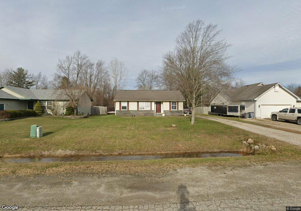
5054 Anglewood Ct Kimball, MI 48074
Estimated Value: $173,007 - $222,000
3
Beds
1
Bath
1,030
Sq Ft
$193/Sq Ft
Est. Value
About This Home
This home is located at 5054 Anglewood Ct, Kimball, MI 48074 and is currently estimated at $198,502, approximately $192 per square foot. 5054 Anglewood Ct is a home located in St. Clair County with nearby schools including Kimball Elementary School, Central Middle School, and Port Huron High School.
Ownership History
Date
Name
Owned For
Owner Type
Purchase Details
Closed on
Aug 22, 2018
Sold by
Griffin Daniel S and Griffin Michelle M
Bought by
Invest-One Llc
Current Estimated Value
Purchase Details
Closed on
Aug 1, 2018
Sold by
Griffin Daniel S and Griffin Michelle M
Bought by
Invest-One Llc
Purchase Details
Closed on
Dec 30, 2011
Sold by
Griffin Daniel S and Griffin Michelle M
Bought by
Mcnutt Michael
Purchase Details
Closed on
Dec 11, 2008
Sold by
Morris Sherryl M
Bought by
Griffin Daniel S and Griffin Michelle M
Create a Home Valuation Report for This Property
The Home Valuation Report is an in-depth analysis detailing your home's value as well as a comparison with similar homes in the area
Home Values in the Area
Average Home Value in this Area
Purchase History
| Date | Buyer | Sale Price | Title Company |
|---|---|---|---|
| Invest-One Llc | -- | None Listed On Document | |
| Invest-One Llc | -- | None Listed On Document | |
| Invest One Llc | -- | None Available | |
| Mcnutt Michael | -- | None Available | |
| Griffin Daniel S | $39,993 | None Available |
Source: Public Records
Tax History Compared to Growth
Tax History
| Year | Tax Paid | Tax Assessment Tax Assessment Total Assessment is a certain percentage of the fair market value that is determined by local assessors to be the total taxable value of land and additions on the property. | Land | Improvement |
|---|---|---|---|---|
| 2025 | $2,931 | $71,800 | $0 | $0 |
| 2024 | $2,137 | $71,600 | $0 | $0 |
| 2023 | $2,000 | $68,000 | $0 | $0 |
| 2022 | $2,645 | $61,500 | $0 | $0 |
| 2021 | $2,452 | $64,400 | $0 | $0 |
| 2020 | $2,452 | $62,400 | $62,400 | $0 |
| 2019 | $1,417 | $54,600 | $0 | $0 |
| 2018 | $1,018 | $51,400 | $0 | $0 |
| 2017 | $944 | $46,600 | $0 | $0 |
| 2016 | $454 | $46,600 | $0 | $0 |
| 2015 | -- | $42,500 | $42,500 | $0 |
| 2014 | -- | $31,900 | $31,900 | $0 |
| 2013 | -- | $45,800 | $0 | $0 |
Source: Public Records
Map
Nearby Homes
- 1604 Allen Rd
- 1701 Allen Rd
- 1091 Allen Rd
- V/L Allen
- 1979 Allen Rd
- 0 Ravenswood Rd Unit 20251017048
- 0000 Ravenswood Rd
- 4632 Cloverdale Ln
- 00 Range Rd
- 1405 Range Rd
- 4595 Griswold Rd
- 5510 Griswold Rd
- 1876 Morningstar Ave
- 183 Nevada Ave
- 00 Howard Rd
- 174 Meadow Ln
- 0000 Range Rd
- 153 Meadow Ln
- 104 Oldbrook Ln
- 0000 Wisconsin Ave
- 5052 Anglewood Ct
- 5056 Anglewood Ct
- 5058 Anglewood Ct
- 5050 Anglewood Ct
- 5060 Anglewood Ct
- 1405 Bellewood Dr
- 1417 Bellewood Dr
- 1427 Bellewood Dr
- 1395 Bellewood Dr
- 1435 Bellewood Dr
- 5055 Anglewood Ct
- 5053 Anglewood Ct
- 5062 Anglewood Ct
- 5051 Anglewood Ct
- 5057 Anglewood Ct
- 1437 Bellewood Dr
- 5049 Anglewood Ct
- 5059 Anglewood Ct
- 5047 Anglewood Ct
- 5061 Anglewood Ct