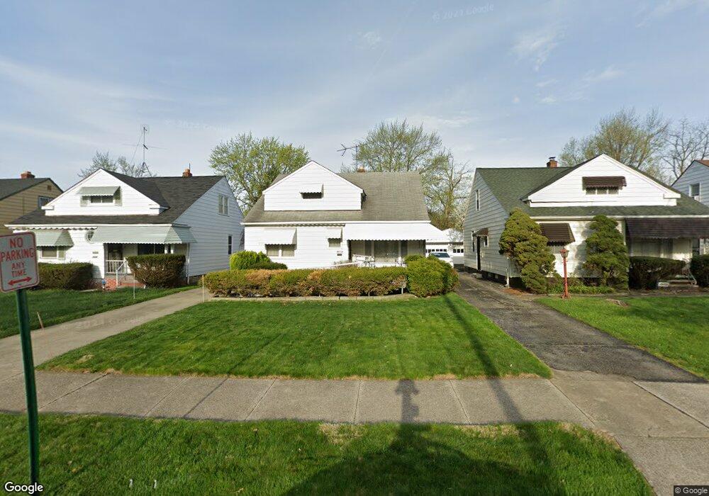
5054 Philip Ave Maple Heights, OH 44137
Estimated Value: $118,000 - $141,000
4
Beds
1
Bath
1,272
Sq Ft
$100/Sq Ft
Est. Value
About This Home
This home is located at 5054 Philip Ave, Maple Heights, OH 44137 and is currently estimated at $127,588, approximately $100 per square foot. 5054 Philip Ave is a home located in Cuyahoga County with nearby schools including Abraham Lincoln Elementary School, Rockside/ J.F. Kennedy School, and Italy High School.
Ownership History
Date
Name
Owned For
Owner Type
Purchase Details
Closed on
Jul 21, 2023
Sold by
Ruffin Jesse J
Bought by
Jetoca Trust and Ruffin
Current Estimated Value
Purchase Details
Closed on
Apr 2, 1985
Sold by
Ruffin Jesse J
Bought by
Ruffin Jesse J and Ruffin Carolyn
Purchase Details
Closed on
Feb 3, 1984
Sold by
Culliton James M and Culliton Bonnie L
Bought by
Ruffin Jesse J
Purchase Details
Closed on
Jul 14, 1982
Sold by
Goodman Ralph U and S M
Bought by
Culliton James M and Culliton Bonnie L
Purchase Details
Closed on
Jan 1, 1975
Bought by
Goodman Ralph U and S M
Create a Home Valuation Report for This Property
The Home Valuation Report is an in-depth analysis detailing your home's value as well as a comparison with similar homes in the area
Home Values in the Area
Average Home Value in this Area
Purchase History
| Date | Buyer | Sale Price | Title Company |
|---|---|---|---|
| Jetoca Trust | -- | None Listed On Document | |
| Ruffin Jesse J | -- | -- | |
| Ruffin Jesse J | $49,500 | -- | |
| Culliton James M | $49,000 | -- | |
| Goodman Ralph U | -- | -- |
Source: Public Records
Tax History Compared to Growth
Tax History
| Year | Tax Paid | Tax Assessment Tax Assessment Total Assessment is a certain percentage of the fair market value that is determined by local assessors to be the total taxable value of land and additions on the property. | Land | Improvement |
|---|---|---|---|---|
| 2024 | $3,239 | $35,945 | $7,140 | $28,805 |
| 2023 | $2,022 | $18,340 | $4,340 | $14,000 |
| 2022 | $2,015 | $18,340 | $4,340 | $14,000 |
| 2021 | $2,144 | $18,340 | $4,340 | $14,000 |
| 2020 | $1,842 | $13,900 | $3,290 | $10,610 |
| 2019 | $1,830 | $39,700 | $9,400 | $30,300 |
| 2018 | $1,820 | $13,900 | $3,290 | $10,610 |
| 2017 | $1,788 | $11,900 | $3,010 | $8,890 |
| 2016 | $1,583 | $15,120 | $3,010 | $12,110 |
| 2015 | $2,914 | $15,120 | $3,010 | $12,110 |
| 2014 | $2,914 | $16,630 | $3,330 | $13,300 |
Source: Public Records
Map
Nearby Homes
- 5061 Philip Ave
- 5082 Philip Ave
- 5110 Philip Ave
- 5031 Cato St
- 5185 Clement Ave
- 5208 Clement Ave
- 5231 Philip Ave
- 5199 Arch St
- 16712 Kollin Ave
- 5212 Catherine St
- 5257 Philip Ave
- 5239 Arch St
- 5210 Theodore St
- 5234 Erwin St
- 5320 Clement Ave
- 16241 Glenburn Ave
- 4737 E 174th St
- 17916 North Blvd
- 17912 North Blvd
- 17204 Maple Heights Blvd
- 5050 Philip 3 4ab
- 5050 Philip Ave
- 5058 Philip Ave
- 5046 Philip 3 4ab
- 5046 Philip Ave
- 5062 Philip Ave
- 5042 Philip Ave
- 5066 Philip Ave
- 5057 Catherine St
- 5061 Catherine St
- 5065 Catherine St
- 5053 Catherine St
- 5038 Philip Ave
- 5070 Philip Ave
- 5069 Catherine St
- 5053 Philip Ave
- 5049 Catherine St
- 5049 Philip Ave
- 5057 Philip Ave
- 5034 Philip Ave