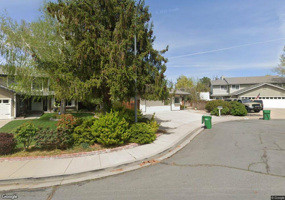
5055 Palo Alto Cir Sparks, NV 89436
Los Altos Parkway NeighborhoodEstimated Value: $567,000 - $621,000
3
Beds
3
Baths
1,801
Sq Ft
$331/Sq Ft
Est. Value
About This Home
This home is located at 5055 Palo Alto Cir, Sparks, NV 89436 and is currently estimated at $595,252, approximately $330 per square foot. 5055 Palo Alto Cir is a home located in Washoe County with nearby schools including Bud Beasley Elementary School, Edward C Reed High School, and Excel Christian School.
Ownership History
Date
Name
Owned For
Owner Type
Purchase Details
Closed on
Jun 23, 2006
Sold by
Sims Thomas E and Sims Gary L
Bought by
Sims Thomas E and Sims Gary L
Current Estimated Value
Purchase Details
Closed on
May 20, 2002
Sold by
Manke William A and Manke Renee E
Bought by
Sims Thomas E and Sims Gary L
Home Financials for this Owner
Home Financials are based on the most recent Mortgage that was taken out on this home.
Original Mortgage
$169,600
Interest Rate
7.13%
Create a Home Valuation Report for This Property
The Home Valuation Report is an in-depth analysis detailing your home's value as well as a comparison with similar homes in the area
Home Values in the Area
Average Home Value in this Area
Purchase History
| Date | Buyer | Sale Price | Title Company |
|---|---|---|---|
| Sims Thomas E | -- | None Available | |
| Sims Thomas E | $212,000 | Western Title Inc |
Source: Public Records
Mortgage History
| Date | Status | Borrower | Loan Amount |
|---|---|---|---|
| Previous Owner | Sims Thomas E | $169,600 |
Source: Public Records
Tax History Compared to Growth
Tax History
| Year | Tax Paid | Tax Assessment Tax Assessment Total Assessment is a certain percentage of the fair market value that is determined by local assessors to be the total taxable value of land and additions on the property. | Land | Improvement |
|---|---|---|---|---|
| 2025 | $3,448 | $127,164 | $46,816 | $80,348 |
| 2024 | $3,448 | $126,141 | $44,083 | $82,059 |
| 2023 | $3,347 | $119,396 | $42,581 | $76,815 |
| 2022 | $3,250 | $102,052 | $36,113 | $65,939 |
| 2021 | $3,155 | $92,220 | $26,219 | $66,001 |
| 2020 | $3,064 | $92,996 | $26,180 | $66,816 |
| 2019 | $2,974 | $93,605 | $26,796 | $66,809 |
| 2018 | $2,888 | $85,187 | $19,558 | $65,629 |
| 2017 | $2,804 | $84,051 | $18,095 | $65,956 |
| 2016 | $2,732 | $82,765 | $15,978 | $66,787 |
| 2015 | $2,728 | $81,076 | $14,168 | $66,908 |
| 2014 | $2,651 | $76,820 | $11,974 | $64,846 |
| 2013 | -- | $69,423 | $9,818 | $59,605 |
Source: Public Records
Map
Nearby Homes
- 5276 Santa Rosa Ave
- 1388 Lambrays Ln
- 5105 Santa Anita Dr
- 1304 Lambrusca Dr
- 1560 Freeman Way
- 1716 Canyon Terrace Dr
- 1550 Istrice Rd
- 1685 Southview Dr
- 1215 Ebling Dr
- 3693 Vista Blvd
- 4788 Ravello Dr
- 4675 Firtree Ln
- 4748 Pradera St
- 4950 San Diego Ct
- 5049 Keams Ct
- 4393 Acobat Ct
- 4515 Whitney Cir
- 5436 Vista Terrace Ln Unit 2B
- 5780 Camino Verde Dr Unit 105
- 1484 Serendipity Ct
- 5045 Palo Alto Cir
- 5065 Palo Alto Cir Unit 1
- 1615 Iratcabal Dr
- 1605 Iratcabal Dr
- 5035 Palo Alto Cir
- 1625 Iratcabal Dr
- 5075 Palo Alto Cir
- 1595 Iratcabal Dr
- 1635 Iratcabal Dr
- 5025 Palo Alto Cir
- 5046 Palo Alto Cir
- 5085 Palo Alto Cir
- 1589 Iratcabal Dr
- 5076 Palo Alto Cir
- 1645 Iratcabal Dr
- 5015 Palo Alto Cir
- 1585 Iratcabal Dr
- 5095 Palo Alto Cir
- 5096 Palo Alto Cir
- 5016 Palo Alto Cir