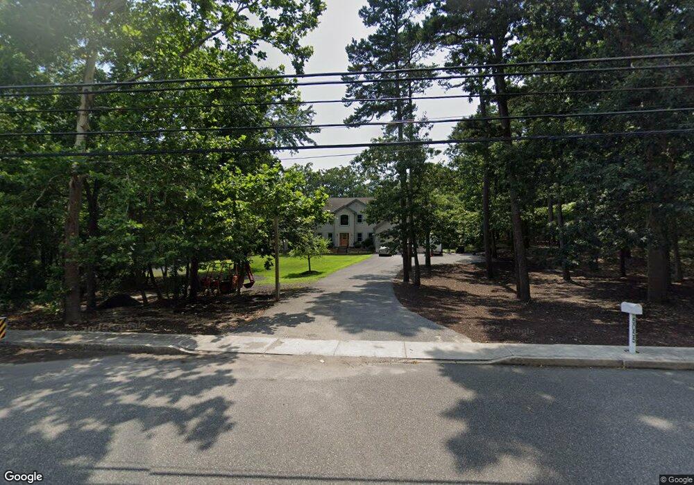
5055 Somers Point Rd Mays Landing, NJ 08330
Estimated Value: $575,370 - $672,000
--
Bed
--
Bath
2,800
Sq Ft
$222/Sq Ft
Est. Value
About This Home
This home is located at 5055 Somers Point Rd, Mays Landing, NJ 08330 and is currently estimated at $622,790, approximately $222 per square foot. 5055 Somers Point Rd is a home located in Atlantic County with nearby schools including George L. Hess Educational Complex, Joseph Shaner School, and William Davies Middle School.
Ownership History
Date
Name
Owned For
Owner Type
Purchase Details
Closed on
Jun 19, 2002
Sold by
Lowenbraun Carol
Bought by
Olszewski Robert J and Olszewski Kathryn A
Current Estimated Value
Purchase Details
Closed on
Dec 2, 1988
Sold by
Mcnierney Susan
Bought by
Reist Harry D and Reist Judith M
Create a Home Valuation Report for This Property
The Home Valuation Report is an in-depth analysis detailing your home's value as well as a comparison with similar homes in the area
Home Values in the Area
Average Home Value in this Area
Purchase History
| Date | Buyer | Sale Price | Title Company |
|---|---|---|---|
| Olszewski Robert J | $57,000 | Surety Title Agency | |
| Reist Harry D | $170,000 | -- | |
| Mcnierney Susan | $7,000 | -- |
Source: Public Records
Tax History Compared to Growth
Tax History
| Year | Tax Paid | Tax Assessment Tax Assessment Total Assessment is a certain percentage of the fair market value that is determined by local assessors to be the total taxable value of land and additions on the property. | Land | Improvement |
|---|---|---|---|---|
| 2025 | $12,063 | $351,600 | $55,400 | $296,200 |
| 2024 | $12,063 | $351,600 | $55,400 | $296,200 |
| 2023 | $11,343 | $351,600 | $55,400 | $296,200 |
| 2022 | $11,343 | $351,600 | $55,400 | $296,200 |
| 2021 | $11,318 | $351,600 | $55,400 | $296,200 |
| 2020 | $11,318 | $351,600 | $55,400 | $296,200 |
| 2019 | $11,346 | $351,600 | $55,400 | $296,200 |
| 2018 | $10,949 | $351,600 | $55,400 | $296,200 |
| 2017 | $10,777 | $351,600 | $55,400 | $296,200 |
| 2016 | $10,474 | $351,600 | $55,400 | $296,200 |
| 2015 | $10,119 | $351,600 | $55,400 | $296,200 |
| 2014 | $10,019 | $381,400 | $69,300 | $312,100 |
Source: Public Records
Map
Nearby Homes
- 570 North St
- 116 Post Rd
- 1303 W Riverside Dr
- 1410 Cantillon Blvd
- 355 Penny Ln
- 182 Giordano Mews
- 246 Old River Rd
- 144 Knights Bridge Way
- 148 Marucci Place
- 156 Marucci Place
- 109 Deal Ln
- 105 Knights Bridge Way
- 112 Giunta Walk
- 15 Lowell St
- 98 Gasko Rd
- 225 Old River Rd
- 1403 Loretta Ave
- 76 Gasko Rd
- 1404 Loretta Ave
- 1 Lafayette Ave
- 559 Gravelly Run Rd
- 5067 Somers Point Rd
- 0 Mays Landing Somers Point Unit 390276
- * Mays Landing Somers Point Rd
- 563 Gravelly Run Rd
- 5045 Mays Landing-Somers Point Rd
- 5045 Mays Landing Somers Point Rd
- 5045 Somers Point Rd
- 555 Gravelly Run Rd
- 5069 Somers Point Rd
- 530 Clarkstown Rd
- 551 Gravelly Run Rd
- 560 Gravelly Run Rd
- 564 Gravelly Run Rd
- 529 Gravelly Run Rd
- 568 Gravelly Run Rd
- 570 Gravelly Run Rd
- 556 Gravelly Run Rd
- 547 Gravelly Run Rd
- 552 Gravelly Run Rd