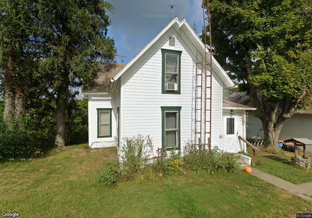
5055 State Route 377 Stockport, OH 43787
Estimated Value: $72,095 - $214,000
3
Beds
1
Bath
1,504
Sq Ft
$85/Sq Ft
Est. Value
About This Home
This home is located at 5055 State Route 377, Stockport, OH 43787 and is currently estimated at $128,024, approximately $85 per square foot. 5055 State Route 377 is a home with nearby schools including Morgan High School.
Ownership History
Date
Name
Owned For
Owner Type
Purchase Details
Closed on
Jul 28, 2020
Sold by
Zaayer James B
Bought by
Enczi Michael D
Current Estimated Value
Home Financials for this Owner
Home Financials are based on the most recent Mortgage that was taken out on this home.
Original Mortgage
$27,000
Outstanding Balance
$18,957
Interest Rate
2.5%
Mortgage Type
New Conventional
Estimated Equity
$109,067
Purchase Details
Closed on
Mar 28, 2009
Sold by
Shook Jefery S
Bought by
Zaayer James B
Purchase Details
Closed on
Dec 2, 2002
Sold by
Henery Ruth A
Bought by
Shook Jeffery S
Create a Home Valuation Report for This Property
The Home Valuation Report is an in-depth analysis detailing your home's value as well as a comparison with similar homes in the area
Home Values in the Area
Average Home Value in this Area
Purchase History
| Date | Buyer | Sale Price | Title Company |
|---|---|---|---|
| Enczi Michael D | $30,000 | None Available | |
| Zaayer James B | $30,000 | None Available | |
| Shook Jeffery S | $22,000 | -- |
Source: Public Records
Mortgage History
| Date | Status | Borrower | Loan Amount |
|---|---|---|---|
| Open | Enczi Michael D | $27,000 |
Source: Public Records
Tax History Compared to Growth
Tax History
| Year | Tax Paid | Tax Assessment Tax Assessment Total Assessment is a certain percentage of the fair market value that is determined by local assessors to be the total taxable value of land and additions on the property. | Land | Improvement |
|---|---|---|---|---|
| 2024 | $559 | $16,440 | $3,490 | $12,950 |
| 2023 | $559 | $12,640 | $2,840 | $9,800 |
| 2022 | $429 | $12,640 | $2,840 | $9,800 |
| 2021 | $434 | $12,640 | $2,840 | $9,800 |
| 2020 | $302 | $11,490 | $2,580 | $8,910 |
| 2019 | $188 | $5,280 | $2,580 | $2,700 |
| 2018 | $181 | $5,280 | $2,580 | $2,700 |
| 2017 | $170 | $4,743 | $2,454 | $2,289 |
| 2016 | $171 | $4,743 | $2,454 | $2,289 |
| 2015 | $171 | $4,778 | $2,454 | $2,324 |
| 2014 | $177 | $4,778 | $2,454 | $2,324 |
| 2013 | $174 | $4,778 | $2,454 | $2,324 |
Source: Public Records
Map
Nearby Homes
- 681 Downing Rd
- 781 Downing Rd
- 5174 Lightner Ridge Rd
- 0 Downing Rd
- 3205 Goshen Run Rd
- 0 Ohio 555 Unit 5146049
- 7600 Marion St
- 3265 Tieber Rd
- 0 Meadow St Unit Lot 9 5158299
- 0 Meadow St Unit Lot 9 225008020
- 1715 South St
- 1770 Broadway St
- 1960 Broadway St
- 1920 North St
- 1673 S State Route 377
- 75 S River Rd SE
- 3020 State Route 376
- 3111 Big Bottom Ln
- 2712 Sycamore Ln
- 2444 Ervin Ln
- 5030 S State Route 377
- 5113 Tabor Ridge Rd
- 5200 E Goshen Run Rd
- 5125 S State Route 377
- 5090 Tabor Ridge Rd
- 4777 State Route 377
- 1076 State Route 377
- 4777 Ohio 377
- 5190 Tabor Ridge Rd
- 5120 Tabor Ridge Rd
- 5282 S State Route 377
- 4808 Lick Run Rd
- 5377 E Goshen Run Rd
- 4795 Lick Run Rd
- 5500 E Goshen Run Rd
- 5505 S State Route 377
- 4765 Lick Run Rd
- 5525 S State Route 377
- 5671 Carnes Rd
- 3575 T-99