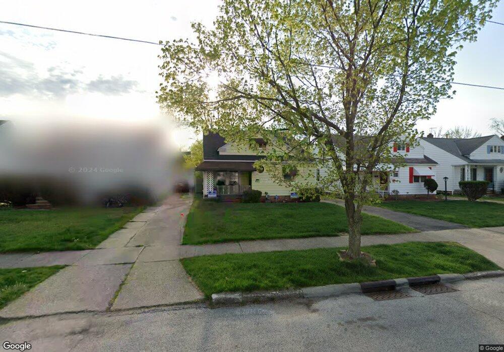
5057 Philip Ave Maple Heights, OH 44137
Estimated Value: $117,000 - $146,000
3
Beds
2
Baths
1,272
Sq Ft
$101/Sq Ft
Est. Value
About This Home
This home is located at 5057 Philip Ave, Maple Heights, OH 44137 and is currently estimated at $128,735, approximately $101 per square foot. 5057 Philip Ave is a home located in Cuyahoga County with nearby schools including Abraham Lincoln Elementary School, Rockside/ J.F. Kennedy School, and Barack Obama School.
Ownership History
Date
Name
Owned For
Owner Type
Purchase Details
Closed on
Mar 9, 2000
Sold by
Heist Michael G and Heist Debra A
Bought by
Lovett Vernard A
Current Estimated Value
Home Financials for this Owner
Home Financials are based on the most recent Mortgage that was taken out on this home.
Original Mortgage
$79,050
Outstanding Balance
$27,061
Interest Rate
8.43%
Mortgage Type
VA
Estimated Equity
$101,674
Purchase Details
Closed on
Sep 28, 1990
Sold by
Lauther Karl Lee
Bought by
Heist Michael G
Purchase Details
Closed on
May 2, 1986
Sold by
Simon Timothy M
Bought by
Lauther Karl Lee
Purchase Details
Closed on
Mar 26, 1985
Sold by
Simon Timothy M and Simon T
Bought by
Simon Timothy M
Purchase Details
Closed on
Jan 1, 1975
Bought by
Simon Timothy M and Simon T
Create a Home Valuation Report for This Property
The Home Valuation Report is an in-depth analysis detailing your home's value as well as a comparison with similar homes in the area
Home Values in the Area
Average Home Value in this Area
Purchase History
| Date | Buyer | Sale Price | Title Company |
|---|---|---|---|
| Lovett Vernard A | $77,500 | Executive Title Agency Corp | |
| Heist Michael G | $53,000 | -- | |
| Lauther Karl Lee | $45,000 | -- | |
| Simon Timothy M | -- | -- | |
| Simon Timothy M | -- | -- |
Source: Public Records
Mortgage History
| Date | Status | Borrower | Loan Amount |
|---|---|---|---|
| Open | Lovett Vernard A | $79,050 |
Source: Public Records
Tax History Compared to Growth
Tax History
| Year | Tax Paid | Tax Assessment Tax Assessment Total Assessment is a certain percentage of the fair market value that is determined by local assessors to be the total taxable value of land and additions on the property. | Land | Improvement |
|---|---|---|---|---|
| 2024 | $3,259 | $36,190 | $7,455 | $28,735 |
| 2023 | $2,270 | $21,080 | $4,520 | $16,560 |
| 2022 | $2,262 | $21,070 | $4,520 | $16,560 |
| 2021 | $2,410 | $21,070 | $4,520 | $16,560 |
| 2020 | $2,060 | $15,960 | $3,430 | $12,530 |
| 2019 | $2,049 | $45,600 | $9,800 | $35,800 |
| 2018 | $2,038 | $15,960 | $3,430 | $12,530 |
| 2017 | $1,906 | $14,390 | $3,190 | $11,200 |
| 2016 | $1,844 | $14,390 | $3,190 | $11,200 |
| 2015 | $1,841 | $14,390 | $3,190 | $11,200 |
| 2014 | $1,841 | $15,820 | $3,500 | $12,320 |
Source: Public Records
Map
Nearby Homes
- 5061 Philip Ave
- 5082 Philip Ave
- 5110 Philip Ave
- 5031 Cato St
- 5185 Clement Ave
- 5231 Philip Ave
- 5199 Arch St
- 5208 Clement Ave
- 5257 Philip Ave
- 5212 Catherine St
- 5239 Arch St
- 16712 Kollin Ave
- 5234 Erwin St
- 5210 Theodore St
- 5320 Clement Ave
- 16241 Glenburn Ave
- 17916 North Blvd
- 17912 North Blvd
- 4737 E 174th St
- 17204 Maple Heights Blvd
- 5053 Philip Ave
- 5049 Philip Ave
- 5065 Philip Ave
- 5045 Philip Ave
- 5054 Thomas St
- 5062 Thomas St
- 5050 Thomas St
- 5066 Thomas St
- 5041 Philip Ave
- 5073 Philip Ave
- 5046 Thomas St
- 5070 Thomas St
- 5058 Philip Ave
- 5062 Philip Ave
- 5054 Philip Ave
- 5050 Philip 3 4ab
- 5066 Philip Ave
- 5037 Philip Ave
- 5050 Philip Ave
- 5040 Thomas St