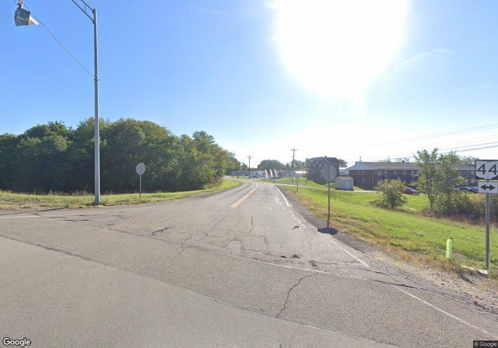
5059 State Route 44 Ravenna, OH 44266
Estimated Value: $229,920 - $263,000
3
Beds
1
Bath
1,320
Sq Ft
$181/Sq Ft
Est. Value
About This Home
This home is located at 5059 State Route 44, Ravenna, OH 44266 and is currently estimated at $239,480, approximately $181 per square foot. 5059 State Route 44 is a home with nearby schools including Rootstown Middle School - Schnee Building and Rootstown High School.
Ownership History
Date
Name
Owned For
Owner Type
Purchase Details
Closed on
Feb 13, 2025
Sold by
Clara Root Creek Ii Llc
Bought by
Riemenschneider Gary
Current Estimated Value
Purchase Details
Closed on
Aug 31, 2017
Sold by
Davis Betty J and Davis Dorothy J
Bought by
Clara Root Creek Ii Llc
Purchase Details
Closed on
Jun 15, 2015
Sold by
Davis Betty J and Davis Dorothy J
Bought by
Davis Betty J and Davis Dorothy J
Purchase Details
Closed on
Jan 25, 2001
Sold by
Davis Helen P
Bought by
Davis Betty J and Davis Dorothy J
Purchase Details
Closed on
Jun 23, 1988
Bought by
Davis Helen P
Create a Home Valuation Report for This Property
The Home Valuation Report is an in-depth analysis detailing your home's value as well as a comparison with similar homes in the area
Home Values in the Area
Average Home Value in this Area
Purchase History
| Date | Buyer | Sale Price | Title Company |
|---|---|---|---|
| Riemenschneider Gary | -- | None Listed On Document | |
| Clara Root Creek Ii Llc | $50,000 | None Available | |
| Davis Betty J | -- | None Available | |
| Davis Betty J | -- | -- | |
| Davis Helen P | -- | -- |
Source: Public Records
Tax History Compared to Growth
Tax History
| Year | Tax Paid | Tax Assessment Tax Assessment Total Assessment is a certain percentage of the fair market value that is determined by local assessors to be the total taxable value of land and additions on the property. | Land | Improvement |
|---|---|---|---|---|
| 2024 | $3,387 | $82,880 | $27,650 | $55,230 |
| 2023 | $2,784 | $60,660 | $24,360 | $36,300 |
| 2022 | $2,755 | $60,660 | $24,360 | $36,300 |
| 2021 | $2,758 | $60,660 | $24,360 | $36,300 |
| 2020 | $2,549 | $53,980 | $23,210 | $30,770 |
| 2019 | $2,557 | $53,980 | $23,210 | $30,770 |
| 2018 | $2,547 | $49,850 | $24,680 | $25,170 |
| 2017 | $2,484 | $49,850 | $24,680 | $25,170 |
| 2016 | $2,451 | $49,850 | $24,680 | $25,170 |
| 2015 | $2,479 | $49,850 | $24,680 | $25,170 |
| 2014 | $2,525 | $49,850 | $24,680 | $25,170 |
| 2013 | $2,508 | $49,850 | $24,680 | $25,170 |
Source: Public Records
Map
Nearby Homes
- 0 Roosevelt Unit 5142588
- sub lot Lane Ave
- 4391 Sandy Lake Rd
- 4165 Timber Run
- 4415 Farmette Dr
- 4691 Scenic Dr
- 4326 Clover Dr
- 1257 Shadowlawn Dr
- 655 Ellen Ct
- 4786 Sandy Lake Rd
- 0 Lynn Rd Unit 5110102
- 1226 S Diamond St
- 675 Midway Dr
- V/L 2 Lynn Rd
- V/L Lynn Rd
- 870 Susan Rd
- 1056 Sunnywood Ln
- 537 Ohio Ave
- 668 Westbrook Ct
- 4140 Sandy Lake Rd
- 5090 S Prospect St
- 5090 State Route 44
- 5106 State Route 44
- 5116 S Prospect St
- 5126 State Route 44
- 4988 S Prospect St
- 4976 S State Route 44 St
- 4958 S Prospect St
- 5025 St Rt 44
- 5025 State Route 44
- 4935 S Prospect St Unit D
- 4935 S Prospect St Unit F
- 4935 S Prospect St Unit F
- 4935 S Prospect St Unit A
- 4935 S Prospect St Unit E
- #3 Rootstown Industrial Pkwy
- #4 Rootstown Industrial Pkwy
- #2 Rootstown Industrial Pkwy
- Lot #1 Rootstown Industrial Pkwy
- 0 Rootstown Industrial Pkwy
