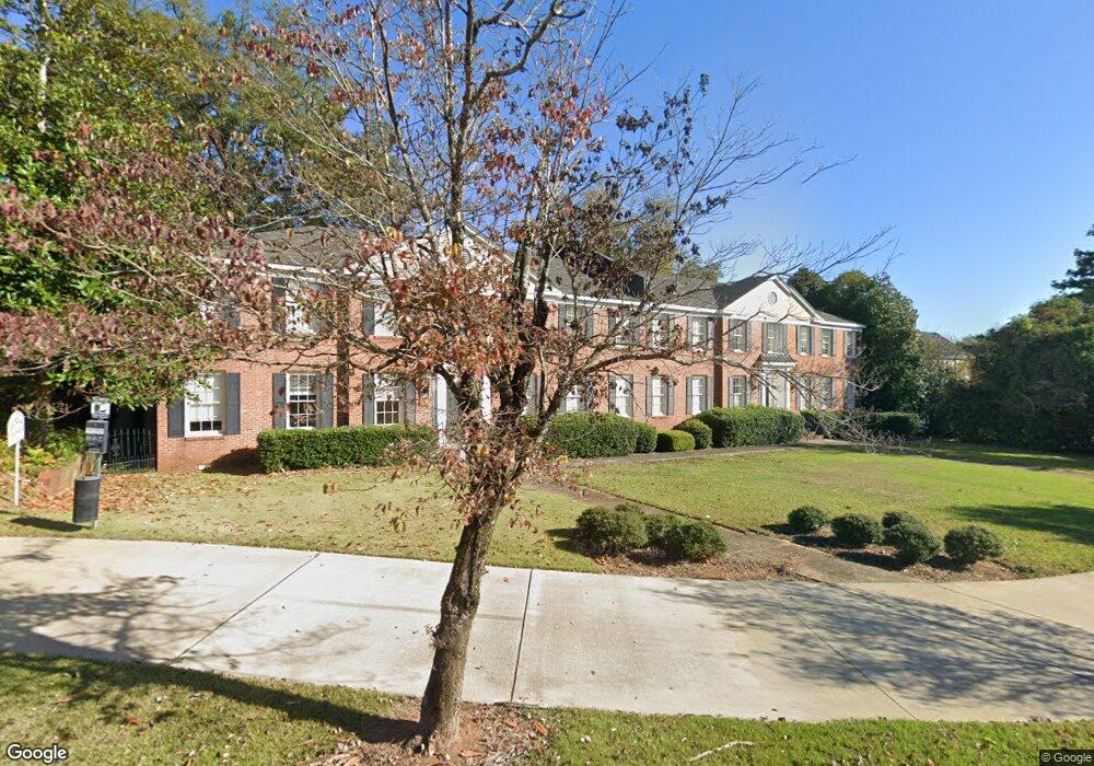
506 Broad St Lagrange, GA 30240
Estimated Value: $180,000 - $457,000
2
Beds
2
Baths
1,416
Sq Ft
$212/Sq Ft
Est. Value
About This Home
This home is located at 506 Broad St, Lagrange, GA 30240 and is currently estimated at $300,032, approximately $211 per square foot. 506 Broad St is a home located in Troup County with nearby schools including Hollis Hand Elementary School, Ethel W. Kight Elementary School, and Franklin Forest Elementary School.
Ownership History
Date
Name
Owned For
Owner Type
Purchase Details
Closed on
Nov 30, 2016
Sold by
Georgia Condominium Associ
Bought by
Hutchinson Investments Llc
Current Estimated Value
Purchase Details
Closed on
Jun 5, 2012
Sold by
Skiff Rod R
Bought by
Massey Ronald W and Massey Joann M
Purchase Details
Closed on
Jan 1, 1975
Bought by
Raby Allen C Jr Mrs
Create a Home Valuation Report for This Property
The Home Valuation Report is an in-depth analysis detailing your home's value as well as a comparison with similar homes in the area
Purchase History
| Date | Buyer | Sale Price | Title Company |
|---|---|---|---|
| Hutchinson Investments Llc | $582,000 | -- | |
| Hutchinson Investments Llc | $582,000 | -- | |
| Massey Ronald W | $315,000 | -- | |
| Raby Allen C Jr Mrs | -- | -- |
Source: Public Records
Tax History
| Year | Tax Paid | Tax Assessment Tax Assessment Total Assessment is a certain percentage of the fair market value that is determined by local assessors to be the total taxable value of land and additions on the property. | Land | Improvement |
|---|---|---|---|---|
| 2025 | $1,116 | $40,920 | $0 | $40,920 |
| 2024 | $1,116 | $40,920 | $0 | $40,920 |
| 2023 | $984 | $36,080 | $0 | $36,080 |
| 2022 | $1,000 | $37,080 | $0 | $37,080 |
| 2021 | $914 | $30,320 | $0 | $30,320 |
| 2020 | $914 | $30,320 | $0 | $30,320 |
| 2019 | $861 | $28,560 | $0 | $28,560 |
| 2018 | $861 | $28,560 | $0 | $28,560 |
| 2017 | $823 | $28,560 | $0 | $28,560 |
| 2016 | $773 | $25,619 | $0 | $25,619 |
| 2015 | $774 | $25,619 | $0 | $25,619 |
| 2014 | $759 | $25,091 | $0 | $25,091 |
| 2013 | -- | $29,044 | $0 | $29,044 |
Source: Public Records
Map
Nearby Homes
- 208 Boulevard
- 203 Waverly Way
- 119 College Ave
- 105 Saynor Cir
- 405 W Broome St Unit 2
- 405 W Broome St Unit 3
- 405 W Broome St Unit 4
- 405 W Broome St Unit 1
- 405 W Broome St Unit 5
- 304 Boulevard
- 403 College Ave
- 206 Broad St
- 216 E Lane Cir
- 416 Park Ave
- 421 College Ave
- 705 Piney Woods Dr
- 217 Jefferson St
- 505 S Lewis St
- 207 Wilkes St
- 509 S Lewis St
- 506 Broad St Unit 560
- 506 Broad St
- 506 Broad St
- 506 Broad St
- 506 Broad St
- 506 Broad St
- 506 Broad St
- 506 Broad St
- 506 Broad St Unit 4
- 574 Broad St
- 562 Broad St
- 504 Broad St Unit 1
- 504 Broad St Unit 4
- 504 Broad St Unit 2
- 504 Broad St Unit 5
- 504 Broad St Unit 3
- 504 Broad St Unit 1
- 566 Broad St
- 0 Springdale Dr
- 0 Springdale Dr Unit 3251497
Your Personal Tour Guide
Ask me questions while you tour the home.