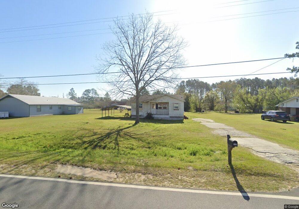
506 Brushy Creek Rd Sparks, GA 31647
Estimated Value: $64,000 - $108,000
3
Beds
1
Bath
854
Sq Ft
$98/Sq Ft
Est. Value
About This Home
This home is located at 506 Brushy Creek Rd, Sparks, GA 31647 and is currently estimated at $83,505, approximately $97 per square foot. 506 Brushy Creek Rd is a home located in Cook County with nearby schools including Cook Primary School, Cook Elementary School, and Cook County Middle School.
Ownership History
Date
Name
Owned For
Owner Type
Purchase Details
Closed on
Jun 20, 2017
Sold by
Stevenson Ozell
Bought by
Bush Family Properties Llc
Current Estimated Value
Purchase Details
Closed on
Mar 11, 2016
Sold by
White Lawton
Bought by
Stevenson Ozell
Purchase Details
Closed on
Apr 30, 2014
Sold by
J Young Llc
Bought by
White Lawton
Purchase Details
Closed on
Apr 3, 2008
Sold by
Garcia Victor M
Bought by
J Young Llc
Create a Home Valuation Report for This Property
The Home Valuation Report is an in-depth analysis detailing your home's value as well as a comparison with similar homes in the area
Home Values in the Area
Average Home Value in this Area
Purchase History
| Date | Buyer | Sale Price | Title Company |
|---|---|---|---|
| Bush Family Properties Llc | $10,000 | -- | |
| Stevenson Ozell | $25,400 | -- | |
| White Lawton | $22,500 | -- | |
| J Young Llc | $35,000 | -- |
Source: Public Records
Tax History Compared to Growth
Tax History
| Year | Tax Paid | Tax Assessment Tax Assessment Total Assessment is a certain percentage of the fair market value that is determined by local assessors to be the total taxable value of land and additions on the property. | Land | Improvement |
|---|---|---|---|---|
| 2024 | $395 | $11,581 | $2,509 | $9,072 |
| 2023 | $268 | $9,962 | $2,240 | $7,722 |
| 2022 | $310 | $9,962 | $2,240 | $7,722 |
| 2021 | $280 | $9,692 | $2,240 | $7,452 |
| 2020 | $280 | $9,692 | $2,240 | $7,452 |
| 2019 | $280 | $9,692 | $2,240 | $7,452 |
| 2018 | $355 | $9,692 | $2,240 | $7,452 |
| 2017 | $68 | $9,692 | $2,240 | $7,452 |
| 2016 | $281 | $9,692 | $2,240 | $7,452 |
| 2015 | $261 | $13,048 | $2,240 | $10,808 |
| 2014 | $379 | $13,048 | $2,240 | $10,808 |
| 2013 | -- | $13,047 | $2,240 | $10,807 |
Source: Public Records
Map
Nearby Homes
- 103 N College St
- 284 Barrett Rd
- 105 Orchard Cir
- 2603 Dianne St
- 2302 Thomas St
- 2503 Dianne St
- 2601 Massee Post Rd
- 134 Brandy Ct
- 1402 Bear Creek Rd
- 1306 Bear Creek Rd
- 120 Westover Dr
- 123 Westover Dr
- 137 Hood Dr
- 701 Gloria St
- 315 Newton Dr
- 625 Coxstill Rd
- 0 Barneyville Rd
- 304 E 3rd St
- 418 E 3rd St
- 1377 Hutchinson Parrish Rd
- 504 Brushy Creek Rd
- 402 Sumner Dr
- 407 E Lovett St
- 502 Brushy Creek Rd
- 505 Brushy Creek Rd
- 406 Sumner Dr
- 601 Brushy Creek Rd
- 403 Sumner Dr
- 406 E Lovett St
- 402 E Lovett St
- 408 E Lovett St
- 405 Sumner Dr
- 411 E Lovett St
- 410 E Lovett St
- 603 Brushy Creek Rd
- 501 Brushy Creek Rd
- 604 Brushy Creek Rd
- Tract 1 Brushy Creek Rd
- Tract 2 Brushy Creek Rd
- Tract 3 Brushy Creek Rd