506 Chastain Rd Danielsville, GA 30633
Estimated Value: $439,000 - $960,791
--
Bed
4
Baths
2,120
Sq Ft
$306/Sq Ft
Est. Value
About This Home
This home is located at 506 Chastain Rd, Danielsville, GA 30633 and is currently estimated at $647,930, approximately $305 per square foot. 506 Chastain Rd is a home located in Madison County with nearby schools including Madison County High School.
Ownership History
Date
Name
Owned For
Owner Type
Purchase Details
Closed on
Sep 25, 2008
Sold by
Kaye Arnold
Bought by
Kaye Michelle
Current Estimated Value
Purchase Details
Closed on
Sep 18, 2008
Sold by
Kaye Arnold
Bought by
Kaye Michelle
Purchase Details
Closed on
Mar 23, 2005
Sold by
Owsley Robert
Bought by
Kaye Arnold S and Kaye Michelle
Purchase Details
Closed on
Nov 7, 2003
Sold by
Phillips Anthony G
Bought by
Kaye Arnold S and Michelle Kaye
Purchase Details
Closed on
Apr 4, 2003
Sold by
Nixon H M
Bought by
Bennett Stanley and Bennett Charles T
Purchase Details
Closed on
Apr 2, 2003
Sold by
Nixon H M
Bought by
Nixon H M
Purchase Details
Closed on
Mar 1, 2000
Sold by
Matthews Dwight M
Bought by
Nixon H M
Purchase Details
Closed on
Jan 30, 1998
Sold by
Matthews Virginia L
Bought by
Matthews Dwight M
Purchase Details
Closed on
Jan 1, 1985
Bought by
Matthews Virginia L
Create a Home Valuation Report for This Property
The Home Valuation Report is an in-depth analysis detailing your home's value as well as a comparison with similar homes in the area
Home Values in the Area
Average Home Value in this Area
Purchase History
| Date | Buyer | Sale Price | Title Company |
|---|---|---|---|
| Kaye Michelle | -- | -- | |
| Kaye Michelle | -- | -- | |
| Kaye Michelle | -- | -- | |
| Kaye Michelle | -- | -- | |
| Kaye Arnold S | $96,237 | -- | |
| Kaye Arnold S | $27,000 | -- | |
| Kaye Arnold S | $376,400 | -- | |
| Bennett Stanley | $293,400 | -- | |
| Nixon H M | -- | -- | |
| Nixon H M | $297,500 | -- | |
| Matthews Dwight M | -- | -- | |
| Matthews Virginia L | -- | -- |
Source: Public Records
Tax History Compared to Growth
Tax History
| Year | Tax Paid | Tax Assessment Tax Assessment Total Assessment is a certain percentage of the fair market value that is determined by local assessors to be the total taxable value of land and additions on the property. | Land | Improvement |
|---|---|---|---|---|
| 2024 | $4,622 | $352,243 | $213,725 | $138,518 |
| 2023 | $3,877 | $342,373 | $213,473 | $128,900 |
| 2022 | $4,183 | $286,924 | $170,816 | $116,108 |
| 2021 | $3,881 | $224,507 | $130,994 | $93,513 |
| 2020 | $3,871 | $213,319 | $119,807 | $93,512 |
| 2019 | $3,840 | $211,740 | $119,807 | $91,933 |
| 2018 | $3,779 | $210,306 | $119,807 | $90,499 |
| 2017 | $6,047 | $210,010 | $118,545 | $91,465 |
| 2016 | $3,156 | $199,538 | $118,545 | $80,993 |
| 2015 | $3,134 | $199,538 | $118,545 | $80,993 |
| 2014 | $3,149 | $200,193 | $118,545 | $81,648 |
| 2013 | -- | $196,585 | $114,937 | $81,648 |
Source: Public Records
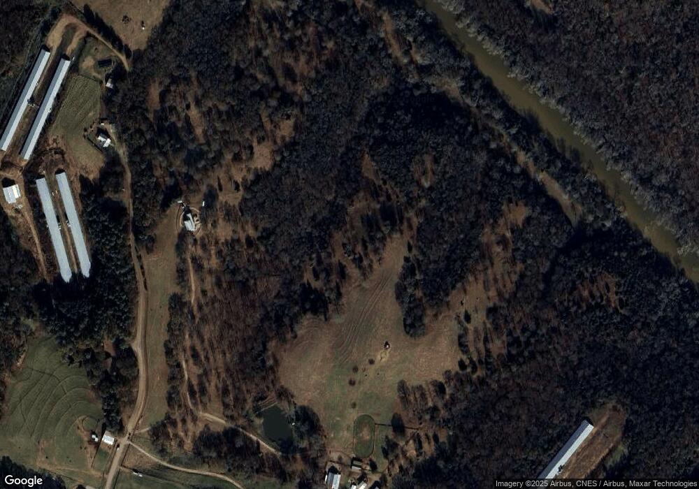
Map
Nearby Homes
- 0 Dickson Dr Unit 416392
- 0 Dickson Dr Unit 7594620
- 0 Dickson Dr Unit 23800701
- 0 Dickson Dr Unit 10539867
- 955 Collins Dudley Rd
- 1745 Hannah Creek Church Rd
- 1350 Baker Rd
- 450 Stagecoach Way
- 0 S Tanglewood Dr Unit 1027287
- 0 S Tanglewood Dr Unit 10538269
- 66 Topaz Ln
- 0 Dove Hill Rd Unit 25439972
- 0 Dove Hill Rd Unit 10637645
- 706 Sam Bruce Rd
- 1112 Reno Rd
- 329 Riverbend Dr
- 0 Carey Ford Rd Unit 10495957
- 417 Cheek Pulliam Rd
- 1344 Jim Grizzle Rd
- 3322 Cheek Pulliam Rd
- 254 Chastain Rd
- 174 Chastain Rd
- 225 Dickson Dr
- 2126 Manley Martin Rd
- 253 Chastain Rd
- 231 Dickson Dr
- 2058 Manley Martin Rd
- 2040 Manley Martin Rd
- 265 Chastain Rd
- 265 Chastain Rd
- 57 Dickson Dr
- 8446 Highway 29 N
- 1915 Manley Martin Rd
- 255 Dickson Dr
- 215 Dickson Dr
- 0 Dickson Dr Unit 8282289
- 8618 Hwy 29n
- 2291 Manley Martin Rd
- 8618 U S 29
- 8618 Highway 29 N