506 Deer Run Norristown, PA 19403
East Norriton Township NeighborhoodEstimated Value: $241,496 - $265,000
2
Beds
2
Baths
1,067
Sq Ft
$237/Sq Ft
Est. Value
About This Home
This home is located at 506 Deer Run, Norristown, PA 19403 and is currently estimated at $253,124, approximately $237 per square foot. 506 Deer Run is a home located in Montgomery County with nearby schools including East Norriton Middle School, Paul V Fly Elementary School, and Charles Blockson Middle School.
Ownership History
Date
Name
Owned For
Owner Type
Purchase Details
Closed on
Jan 31, 2011
Sold by
Pellicciotti Lisa
Bought by
Patel Rishi
Current Estimated Value
Purchase Details
Closed on
Oct 30, 2003
Sold by
Neducsin Robert W and Neducsin Linda V
Bought by
Pellicciotti Lisa
Home Financials for this Owner
Home Financials are based on the most recent Mortgage that was taken out on this home.
Original Mortgage
$65,000
Interest Rate
5.81%
Create a Home Valuation Report for This Property
The Home Valuation Report is an in-depth analysis detailing your home's value as well as a comparison with similar homes in the area
Home Values in the Area
Average Home Value in this Area
Purchase History
| Date | Buyer | Sale Price | Title Company |
|---|---|---|---|
| Patel Rishi | $143,500 | None Available | |
| Pellicciotti Lisa | $125,627 | -- |
Source: Public Records
Mortgage History
| Date | Status | Borrower | Loan Amount |
|---|---|---|---|
| Previous Owner | Pellicciotti Lisa | $65,000 |
Source: Public Records
Tax History Compared to Growth
Tax History
| Year | Tax Paid | Tax Assessment Tax Assessment Total Assessment is a certain percentage of the fair market value that is determined by local assessors to be the total taxable value of land and additions on the property. | Land | Improvement |
|---|---|---|---|---|
| 2025 | $3,956 | $83,960 | $19,480 | $64,480 |
| 2024 | $3,956 | $83,960 | $19,480 | $64,480 |
| 2023 | $3,910 | $83,960 | $19,480 | $64,480 |
| 2022 | $3,883 | $83,960 | $19,480 | $64,480 |
| 2021 | $3,858 | $83,960 | $19,480 | $64,480 |
| 2020 | $3,739 | $83,960 | $19,480 | $64,480 |
| 2019 | $3,652 | $83,960 | $19,480 | $64,480 |
| 2018 | $3,652 | $83,960 | $19,480 | $64,480 |
| 2017 | $3,439 | $83,960 | $19,480 | $64,480 |
| 2016 | $3,406 | $83,960 | $19,480 | $64,480 |
| 2015 | $3,229 | $83,960 | $19,480 | $64,480 |
| 2014 | $3,229 | $83,960 | $19,480 | $64,480 |
Source: Public Records
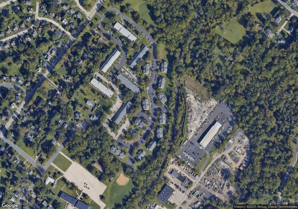
Map
Nearby Homes
- 401 Stony Way
- 3104 N Wales Rd
- 3004 N Wales Rd
- 2937 Keenwood Rd
- 242 Brookside Rd
- 603 Donna Dr
- 1757 Clearview Ave
- 138 Cedar Ct
- 643 Barbara Dr
- 116 Brindle Ct
- 3154 Sycamore Ln
- 2551 Hillcrest Ave
- 5 Patterson Ave
- 37 Stuart Dr
- 1815 LOT 1 Yost Rd
- 3103 Hayes Rd
- 2461 Merri Claude Dr
- 2413 Sentry Ct
- 1416 Sullivan Dr
- 2100 3rd St