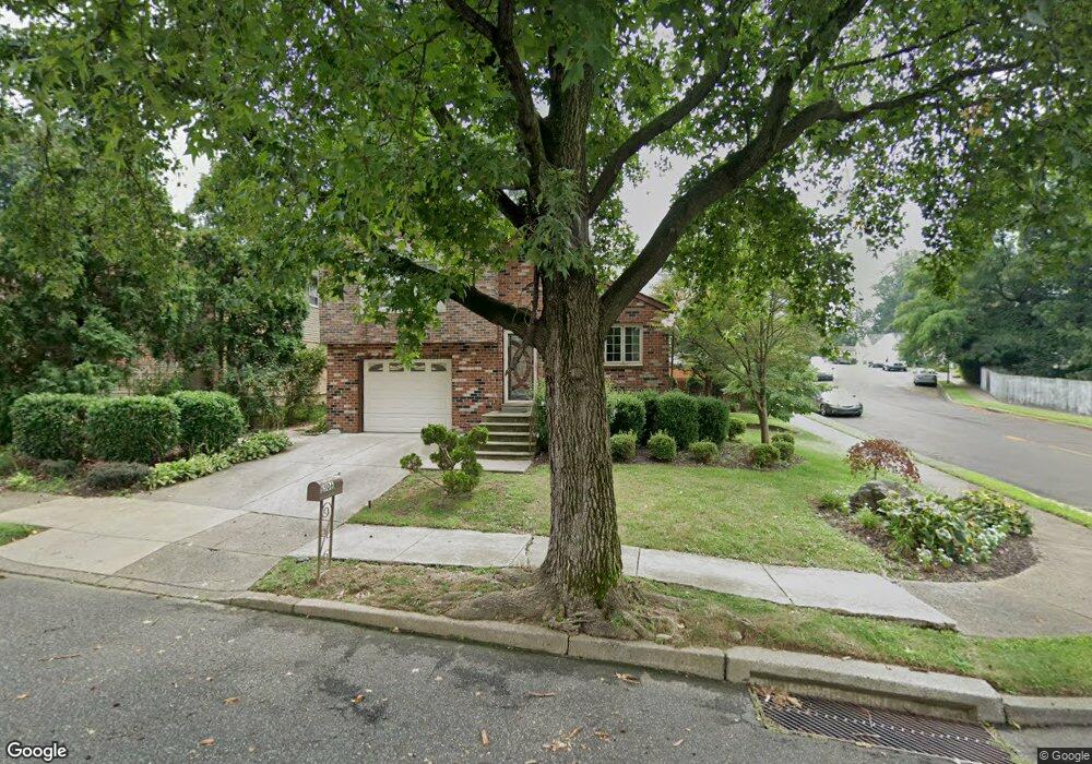
506 Denise Dr Philadelphia, PA 19116
Somerton NeighborhoodEstimated Value: $520,562 - $578,000
--
Bed
--
Bath
2,592
Sq Ft
$212/Sq Ft
Est. Value
About This Home
This home is located at 506 Denise Dr, Philadelphia, PA 19116 and is currently estimated at $550,141, approximately $212 per square foot. 506 Denise Dr is a home located in Philadelphia County with nearby schools including Watson Comly School, CCA Baldi Middle School, and George Washington High School.
Ownership History
Date
Name
Owned For
Owner Type
Purchase Details
Closed on
Jun 13, 2003
Sold by
Wiener Eric and Wiener Carol
Bought by
Mills Michael A
Current Estimated Value
Home Financials for this Owner
Home Financials are based on the most recent Mortgage that was taken out on this home.
Original Mortgage
$242,155
Outstanding Balance
$102,635
Interest Rate
5.45%
Mortgage Type
Purchase Money Mortgage
Estimated Equity
$447,506
Create a Home Valuation Report for This Property
The Home Valuation Report is an in-depth analysis detailing your home's value as well as a comparison with similar homes in the area
Home Values in the Area
Average Home Value in this Area
Purchase History
| Date | Buyer | Sale Price | Title Company |
|---|---|---|---|
| Mills Michael A | $254,900 | First American Title Ins Co |
Source: Public Records
Mortgage History
| Date | Status | Borrower | Loan Amount |
|---|---|---|---|
| Open | Mills Michael A | $242,155 |
Source: Public Records
Tax History Compared to Growth
Tax History
| Year | Tax Paid | Tax Assessment Tax Assessment Total Assessment is a certain percentage of the fair market value that is determined by local assessors to be the total taxable value of land and additions on the property. | Land | Improvement |
|---|---|---|---|---|
| 2026 | $5,623 | $462,800 | $92,560 | $370,240 |
| 2025 | $5,623 | $462,800 | $92,560 | $370,240 |
| 2024 | $5,623 | $462,800 | $92,560 | $370,240 |
| 2023 | $5,623 | $401,700 | $80,300 | $321,400 |
| 2022 | $3,617 | $356,700 | $80,300 | $276,400 |
| 2021 | $4,247 | $0 | $0 | $0 |
| 2020 | $4,247 | $0 | $0 | $0 |
| 2019 | $4,066 | $0 | $0 | $0 |
| 2018 | $3,327 | $0 | $0 | $0 |
| 2017 | $3,327 | $0 | $0 | $0 |
| 2016 | $2,907 | $0 | $0 | $0 |
| 2015 | $2,783 | $0 | $0 | $0 |
| 2014 | -- | $237,700 | $116,160 | $121,540 |
| 2012 | -- | $39,968 | $5,839 | $34,129 |
Source: Public Records
Map
Nearby Homes
- 13250 Trevose Rd
- 301 Byberry Rd Unit F7
- 612 Poquessing Ave
- 613 Poquessing Ave
- 13441 Trevose Rd
- 300 Byberry Rd Unit 303
- 600 Edison Ave Unit 606
- 290 Byberry Rd Unit 2
- 290 Byberry Rd Unit 18
- 611 Edison Ave Unit C
- 13049 Lindsay St
- 13053 Dorothy Dr
- 110 30 Byberry Rd Unit M1
- 14044 Erwin St
- 13039 Stevens Rd
- 11715 Jeanes St
- 433 Regina St
- 11902 Barlow St
- 11722 Audubon Ave
- 11933 Stevens Rd
- 508 Denise Dr
- 13049 Depue Ave
- 504 Denise Dr
- 510 Denise Dr
- 13047 Depue Ave
- 13045 Depue Ave
- 512 Denise Dr
- 507 Denise Dr
- 502 Denise Dr
- 509 Denise Dr
- 505 Denise Dr
- 515 Lindenhurst St
- 511 Denise Dr
- 13043 Depue Ave
- 503 Denise Dr
- 514 Denise Dr
- 513 Denise Dr
- 509 Lindenhurst St
- 521 Lindenhurst St
- 13041 Depue Ave