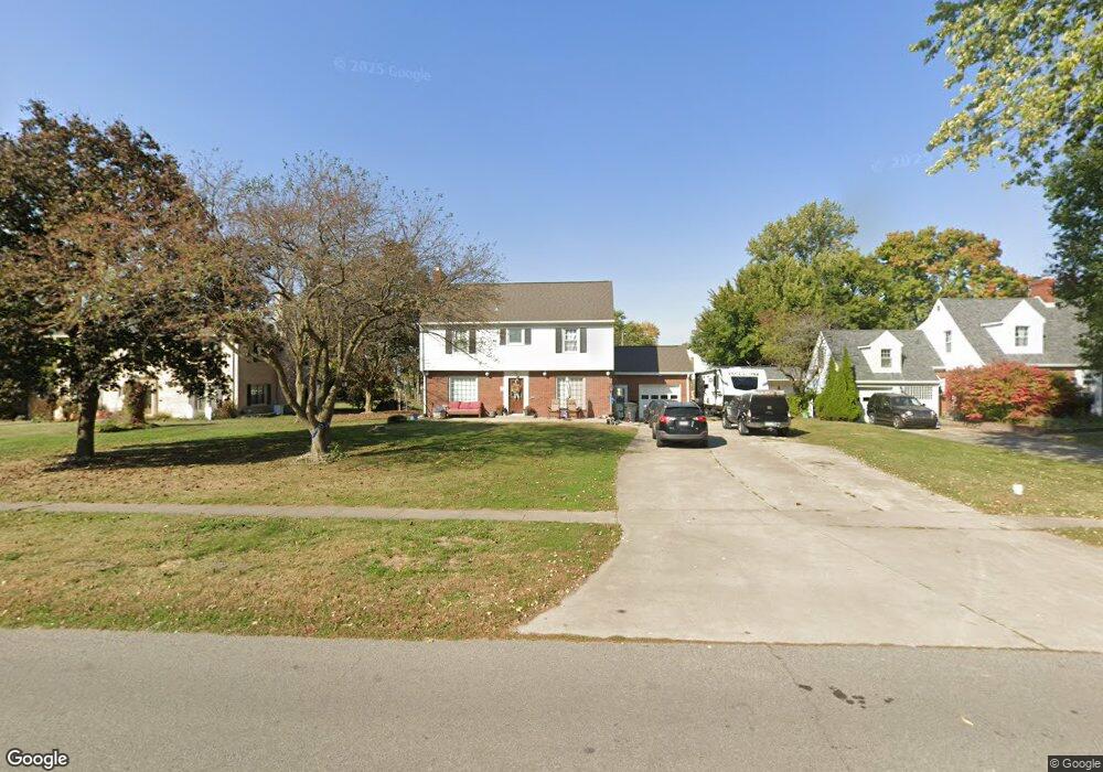
506 E Dunlap St Kentland, IN 47951
Estimated Value: $179,000 - $226,000
4
Beds
3
Baths
3,065
Sq Ft
$65/Sq Ft
Est. Value
About This Home
This home is located at 506 E Dunlap St, Kentland, IN 47951 and is currently estimated at $198,904, approximately $64 per square foot. 506 E Dunlap St is a home located in Newton County with nearby schools including South Newton Elementary School, South Newton Middle School, and South Newton Senior High School.
Ownership History
Date
Name
Owned For
Owner Type
Purchase Details
Closed on
Jun 2, 2011
Sold by
Whaley Darrin W and Whaley Jennifer J
Bought by
Watson Tobon J
Current Estimated Value
Home Financials for this Owner
Home Financials are based on the most recent Mortgage that was taken out on this home.
Original Mortgage
$123,270
Outstanding Balance
$85,905
Interest Rate
5.25%
Mortgage Type
FHA
Estimated Equity
$112,999
Create a Home Valuation Report for This Property
The Home Valuation Report is an in-depth analysis detailing your home's value as well as a comparison with similar homes in the area
Home Values in the Area
Average Home Value in this Area
Purchase History
| Date | Buyer | Sale Price | Title Company |
|---|---|---|---|
| Watson Tobon J | -- | -- |
Source: Public Records
Mortgage History
| Date | Status | Borrower | Loan Amount |
|---|---|---|---|
| Open | Watson Tobon J | $123,270 |
Source: Public Records
Tax History
| Year | Tax Paid | Tax Assessment Tax Assessment Total Assessment is a certain percentage of the fair market value that is determined by local assessors to be the total taxable value of land and additions on the property. | Land | Improvement |
|---|---|---|---|---|
| 2025 | $1,371 | $170,000 | $17,100 | $152,900 |
| 2024 | $1,371 | $142,900 | $17,100 | $125,800 |
| 2023 | $1,344 | $137,700 | $17,100 | $120,600 |
| 2022 | $1,472 | $129,900 | $17,100 | $112,800 |
| 2021 | $1,222 | $122,800 | $14,900 | $107,900 |
| 2020 | $1,231 | $108,700 | $14,900 | $93,800 |
| 2019 | $1,188 | $108,700 | $14,900 | $93,800 |
| 2018 | $1,141 | $108,700 | $14,900 | $93,800 |
| 2017 | $1,135 | $111,700 | $12,300 | $99,400 |
| 2016 | $1,108 | $112,700 | $12,300 | $100,400 |
| 2014 | $899 | $110,600 | $12,300 | $98,300 |
| 2013 | $899 | $115,400 | $12,300 | $103,100 |
Source: Public Records
Map
Nearby Homes
- 407 N 7th St
- 202 N 3rd St
- 106 E Washington St
- 105 E Iroquois St
- 103 W Lincoln St
- 106 E Allen St
- 710 N 2nd St
- 105 E Allen St
- 204 S 1st St
- Vacant Land W Allen St
- 315 W Railroad St
- 3569 W 1500 S
- 1892 W 1800 S
- 104 E 5th St
- 307 E 4th St
- 306 S Chestnut St
- 403 S Chestnut St
- 395 N 4th St
- 215 W Main St
- 315 W Main St
Your Personal Tour Guide
Ask me questions while you tour the home.