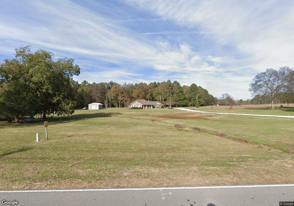
506 E Thompson Rd Hartselle, AL 35640
Estimated Value: $190,000 - $410,000
--
Bed
--
Bath
2,467
Sq Ft
$128/Sq Ft
Est. Value
About This Home
This home is located at 506 E Thompson Rd, Hartselle, AL 35640 and is currently estimated at $315,060, approximately $127 per square foot. 506 E Thompson Rd is a home with nearby schools including Falkville Elementary School and Falkville High School.
Ownership History
Date
Name
Owned For
Owner Type
Purchase Details
Closed on
Jan 18, 2022
Sold by
Brandon Tew M
Bought by
Tew Lana
Current Estimated Value
Home Financials for this Owner
Home Financials are based on the most recent Mortgage that was taken out on this home.
Original Mortgage
$262,500
Outstanding Balance
$241,926
Interest Rate
3.11%
Mortgage Type
New Conventional
Estimated Equity
$73,134
Purchase Details
Closed on
Feb 28, 2012
Sold by
Americas Home Place
Bought by
Tew Lana Joann and Brandon Tew M
Home Financials for this Owner
Home Financials are based on the most recent Mortgage that was taken out on this home.
Original Mortgage
$204,828
Interest Rate
3.9%
Mortgage Type
FHA
Purchase Details
Closed on
Sep 29, 2011
Sold by
Tew Lana
Bought by
Americas Homa Place Inc
Purchase Details
Closed on
Sep 12, 2011
Sold by
Tapscott Marlon H
Bought by
Tew Lana
Create a Home Valuation Report for This Property
The Home Valuation Report is an in-depth analysis detailing your home's value as well as a comparison with similar homes in the area
Home Values in the Area
Average Home Value in this Area
Purchase History
| Date | Buyer | Sale Price | Title Company |
|---|---|---|---|
| Tew Lana | -- | None Listed On Document | |
| Tew Lana Joann | -- | None Available | |
| Americas Homa Place Inc | $199,404 | None Available | |
| Tew Lana | -- | None Available |
Source: Public Records
Mortgage History
| Date | Status | Borrower | Loan Amount |
|---|---|---|---|
| Open | Tew Lana | $262,500 | |
| Previous Owner | Tew Lana Joann | $204,828 |
Source: Public Records
Tax History Compared to Growth
Tax History
| Year | Tax Paid | Tax Assessment Tax Assessment Total Assessment is a certain percentage of the fair market value that is determined by local assessors to be the total taxable value of land and additions on the property. | Land | Improvement |
|---|---|---|---|---|
| 2024 | $879 | $25,190 | $1,740 | $23,450 |
| 2023 | $889 | $24,480 | $1,600 | $22,880 |
| 2022 | $810 | $23,100 | $1,460 | $21,640 |
| 2021 | $685 | $19,750 | $1,460 | $18,290 |
| 2020 | $672 | $36,980 | $1,460 | $35,520 |
| 2019 | $672 | $19,400 | $0 | $0 |
| 2015 | $625 | $18,140 | $0 | $0 |
| 2014 | $625 | $18,140 | $0 | $0 |
| 2013 | -- | $17,100 | $0 | $0 |
Source: Public Records
Map
Nearby Homes
- 1701 Parker Rd SE
- 450 N Cedar Cove Rd
- 1902 Laney Dr
- 3209 Old Highway 31 SW
- 1901 Josie Dr
- 41 acres Culver Rd
- 10+/- Acres Culver Rd
- 1698 Parker Rd SE
- 911 Ronnie Dr SE
- 909 Ronnie Dr SE
- 903 Ronnie Dr SE
- 902 Ronnie Dr SE
- 815 Ronnie Dr SE
- 271 Highway 36 E
- 907 Ronnie Dr SE
- 905 Ronnie Dr
- 901 Ronnie Dr SE
- 829 Ronnie Dr SE
- 222 Airport Rd SW
- 10 acres Culver Rd
- 514 E Thompson Rd
- 436 E Thompson Rd
- 26 Tommy Wallace Rd
- 122 Tommy Wallace Rd
- 0 Mount Zion Rd Unit 1094978
- 130 Tommy Wallace Rd
- 441 E Thompson Rd
- 0 Mt Tabor Rd Unit 277689
- 0 Mt Tabor Rd Unit 654715
- 374 E Thompson Rd
- 373 E Thompson Rd
- 434 E Thompson Rd
- 138 Tommy Wallace Rd
- 0 Thompson Bottom
- 20 Drinkard Rd
- 29 S Cedar Cove Rd
- 149 Mount Zion Rd
- 152 Mount Zion Rd
- 1441 Mount Tabor Rd
- 53 Drinkard Rd