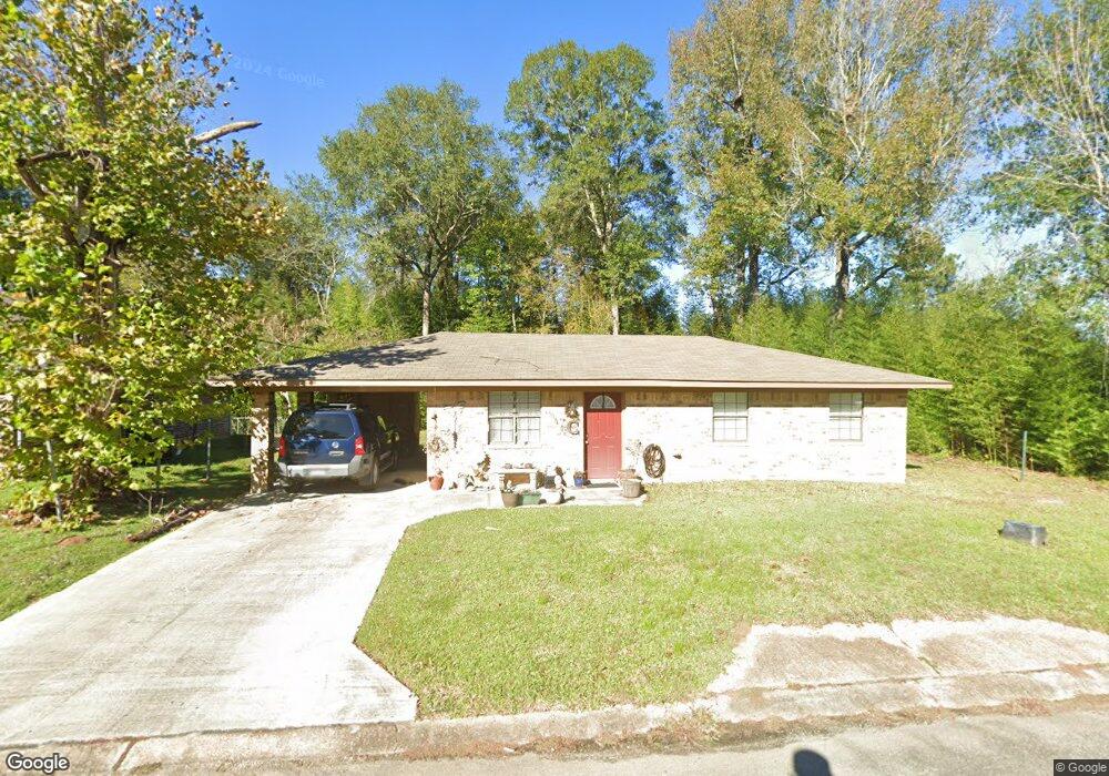
506 Mcfarland St Leesville, LA 71446
Estimated Value: $84,000 - $113,000
3
Beds
1
Bath
912
Sq Ft
$111/Sq Ft
Est. Value
About This Home
This home is located at 506 Mcfarland St, Leesville, LA 71446 and is currently estimated at $100,912, approximately $110 per square foot. 506 Mcfarland St is a home located in Vernon Parish with nearby schools including First Assembly Christian Academy, Faith Training Christian Academy Elementary, and Faith Training Christian Academy.
Ownership History
Date
Name
Owned For
Owner Type
Purchase Details
Closed on
Jan 6, 2015
Sold by
Ash Castle Ii Llc
Bought by
Toups Bobby Joe and Toups Madeline Mary
Current Estimated Value
Home Financials for this Owner
Home Financials are based on the most recent Mortgage that was taken out on this home.
Original Mortgage
$43,350
Outstanding Balance
$33,363
Interest Rate
3.97%
Mortgage Type
Purchase Money Mortgage
Estimated Equity
$67,549
Create a Home Valuation Report for This Property
The Home Valuation Report is an in-depth analysis detailing your home's value as well as a comparison with similar homes in the area
Home Values in the Area
Average Home Value in this Area
Purchase History
| Date | Buyer | Sale Price | Title Company |
|---|---|---|---|
| Toups Bobby Joe | $51,000 | Permitted Title |
Source: Public Records
Mortgage History
| Date | Status | Borrower | Loan Amount |
|---|---|---|---|
| Open | Toups Bobby Joe | $43,350 |
Source: Public Records
Tax History Compared to Growth
Tax History
| Year | Tax Paid | Tax Assessment Tax Assessment Total Assessment is a certain percentage of the fair market value that is determined by local assessors to be the total taxable value of land and additions on the property. | Land | Improvement |
|---|---|---|---|---|
| 2024 | $593 | $5,040 | $600 | $4,440 |
| 2023 | $548 | $4,670 | $600 | $4,070 |
| 2022 | $539 | $4,670 | $600 | $4,070 |
| 2021 | $573 | $4,670 | $600 | $4,070 |
| 2020 | $590 | $4,670 | $600 | $4,070 |
| 2019 | $609 | $4,670 | $600 | $4,070 |
| 2018 | $607 | $4,670 | $600 | $4,070 |
| 2017 | $606 | $4,670 | $600 | $4,070 |
| 2015 | $592 | $4,670 | $600 | $4,070 |
| 2014 | $632 | $5,570 | $600 | $4,970 |
| 2013 | $749 | $5,570 | $600 | $4,970 |
Source: Public Records
Map
Nearby Homes
- 1006 S 10th St
- 1003 S 10th St
- 1004 S 9th St
- 0 Mcfarland St
- 0 Iowa St
- 0 S 8th St
- 0 Tbd W Singleton St Lot 3 Unit Lot 3
- 0 Tbd W Singleton St
- 0 Fertitta Blvd
- 2000 S 5th St
- 0 9th St S
- 0 South St
- 0 W Arkansas St
- 400 S 7th St
- 0 Tbd Unit 19-756
- 1005 Nolan Trace
- 1104 John Paul Jones Ave
- 0 Tbd University Pkwy Unit 57-118
- 116 E Harriet St
- 304 Nolan Trace
- 1102 S 11th St
- 502 Mcfarland St
- 1104 S 11th St
- 1103 S 11th St
- 507 Mcfarland St
- 509 Mcfarland St
- 508 Mcfarland St
- 501 Mcfarland St
- 1110 S 11th St
- 1004 S 10th St
- 1704 Cottonwood Rd
- 1007 S 10th St Unit Street
- 1003 S 10th St Unit Street
- 914 S 10th St
- 914 S 10th St
- 914 S 10th St Unit St
- 1200 S 11th St
- 404 Mcfarland St
- 912 S 10th St
- 1202 S 11th St