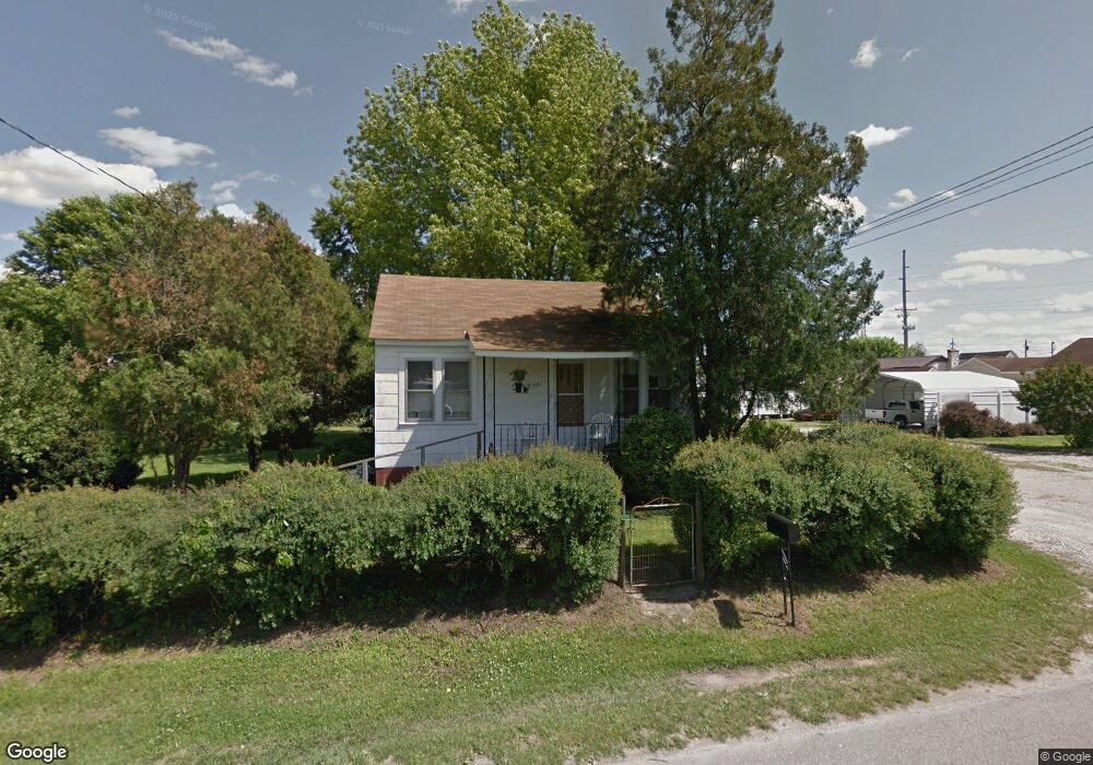
506 N Kenova Rd South Point, OH 45680
Estimated Value: $234,000 - $296,455
4
Beds
3
Baths
1,992
Sq Ft
$138/Sq Ft
Est. Value
About This Home
This home is located at 506 N Kenova Rd, South Point, OH 45680 and is currently estimated at $274,364, approximately $137 per square foot. 506 N Kenova Rd is a home located in Lawrence County with nearby schools including South Point High School.
Ownership History
Date
Name
Owned For
Owner Type
Purchase Details
Closed on
Sep 3, 1999
Sold by
Stevens Mack and Stevens Brenda
Bought by
Barnes Danny and Barnes Niala
Current Estimated Value
Purchase Details
Closed on
Jul 6, 1994
Sold by
Fitzpatrick Don
Bought by
Stevens Mack and Stevens Brenda
Purchase Details
Closed on
Jun 22, 1994
Sold by
Fitzpatrick Don
Bought by
Fitzpatrick Don
Create a Home Valuation Report for This Property
The Home Valuation Report is an in-depth analysis detailing your home's value as well as a comparison with similar homes in the area
Home Values in the Area
Average Home Value in this Area
Purchase History
| Date | Buyer | Sale Price | Title Company |
|---|---|---|---|
| Barnes Danny | $171,000 | -- | |
| Stevens Mack | $37,500 | -- | |
| Fitzpatrick Don | -- | -- |
Source: Public Records
Tax History Compared to Growth
Tax History
| Year | Tax Paid | Tax Assessment Tax Assessment Total Assessment is a certain percentage of the fair market value that is determined by local assessors to be the total taxable value of land and additions on the property. | Land | Improvement |
|---|---|---|---|---|
| 2024 | -- | $89,940 | $8,730 | $81,210 |
| 2023 | $2,764 | $89,940 | $8,730 | $81,210 |
| 2022 | $2,771 | $89,940 | $8,730 | $81,210 |
| 2021 | $2,393 | $74,380 | $6,570 | $67,810 |
| 2020 | $2,404 | $74,380 | $6,570 | $67,810 |
| 2019 | $2,391 | $74,380 | $6,570 | $67,810 |
| 2018 | $2,187 | $67,610 | $5,970 | $61,640 |
| 2017 | $2,182 | $67,610 | $5,970 | $61,640 |
| 2016 | $2,047 | $67,610 | $5,970 | $61,640 |
| 2015 | $2,014 | $63,050 | $5,970 | $57,080 |
| 2014 | $2,012 | $63,050 | $5,970 | $57,080 |
| 2013 | $2,108 | $63,050 | $5,970 | $57,080 |
Source: Public Records
Map
Nearby Homes
- 205 Michael St
- 105 Orchard Dr
- 119 Meadow Ln
- 408 Brubaker Dr
- 609 4th St E
- 101 Henray Dr
- 0 Twp R 135
- 00 County Road 1
- 404 Township Road 135
- 0 Township Road 135
- 102 Park Ave
- 110 Kitts Ln
- 1524 Beech St
- 217 17th St
- 304 15th St
- 1104 Beech St
- 312 13th St
- 1184 County Road 18
- 2708 Panola St
- 0 Township Road 161 Unit 182331
- 506 N Kenova Rd
- 506 N Kenova Rd Unit B
- 506 N Kenova Rd
- 506 N Kenova Rd Unit C
- 105 Shelby Ave
- 102 Franklin St
- 215 Michael St
- 214 Michael St
- 107 Shelby Ave
- 104 Franklin St
- 508 N Kenova Rd
- 511 N Kenova Rd
- 213 Michael St
- 104 Shelby Ave
- 509 N Kenova Rd
- 212 Michael St
- 601 N Kenova Rd
- 103 Amanda St
- 106 Franklin St
- 101 Amanda St