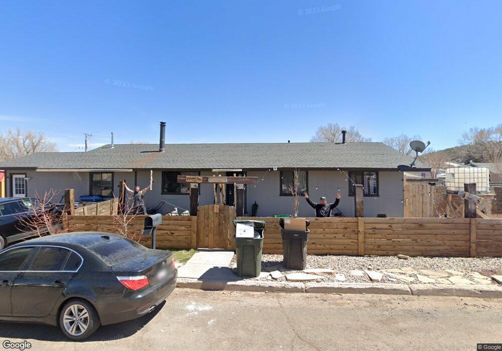
506 N Newton St Williams, AZ 86046
Estimated Value: $384,639 - $429,000
3
Beds
2
Baths
125
Sq Ft
$3,245/Sq Ft
Est. Value
About This Home
This home is located at 506 N Newton St, Williams, AZ 86046 and is currently estimated at $405,660, approximately $3,245 per square foot. 506 N Newton St is a home located in Coconino County with nearby schools including Williams Elementary/Middle School, Williams High School, and Heritage Elementary - Williams.
Ownership History
Date
Name
Owned For
Owner Type
Purchase Details
Closed on
Aug 11, 2010
Sold by
Barr Carr
Bought by
Peasley Jeremy
Current Estimated Value
Home Financials for this Owner
Home Financials are based on the most recent Mortgage that was taken out on this home.
Original Mortgage
$145,000
Outstanding Balance
$95,713
Interest Rate
4.51%
Mortgage Type
Seller Take Back
Estimated Equity
$309,947
Purchase Details
Closed on
Jun 26, 2007
Sold by
Kilpatrick Kenneth and Kilpatrick Penny
Bought by
Barr Cary
Create a Home Valuation Report for This Property
The Home Valuation Report is an in-depth analysis detailing your home's value as well as a comparison with similar homes in the area
Home Values in the Area
Average Home Value in this Area
Purchase History
| Date | Buyer | Sale Price | Title Company |
|---|---|---|---|
| Peasley Jeremy | $145,000 | Pioneer Title Agency Inc | |
| Barr Cary | $155,000 | Pioneer Title Agency Inc |
Source: Public Records
Mortgage History
| Date | Status | Borrower | Loan Amount |
|---|---|---|---|
| Open | Peasley Jeremy | $145,000 |
Source: Public Records
Tax History Compared to Growth
Tax History
| Year | Tax Paid | Tax Assessment Tax Assessment Total Assessment is a certain percentage of the fair market value that is determined by local assessors to be the total taxable value of land and additions on the property. | Land | Improvement |
|---|---|---|---|---|
| 2025 | $1,025 | $28,275 | -- | -- |
| 2024 | $1,025 | $26,813 | -- | -- |
| 2023 | $992 | $20,385 | $0 | $0 |
| 2022 | $935 | $16,915 | $0 | $0 |
| 2021 | $910 | $16,579 | $0 | $0 |
| 2020 | $890 | $15,113 | $0 | $0 |
| 2019 | $863 | $13,372 | $0 | $0 |
| 2018 | $727 | $11,098 | $0 | $0 |
| 2017 | $718 | $9,840 | $0 | $0 |
| 2016 | $676 | $8,750 | $0 | $0 |
| 2015 | $684 | $8,642 | $0 | $0 |
Source: Public Records
Map
Nearby Homes
- 725 N Humbolt St
- 00 W Fulton Ave
- 410 N Locust St Unit 18
- 500 Grand Canyon Ave
- 701 N Airport Rd
- 344 E Route 66
- 201 S Slagel St
- 106 W Sherman Ave
- 1028 W Rogers Ave
- 1012 Foothill Rd
- 304 S 4th St
- 412 S 1st St
- 411 S 6th St
- 277 Pinecrest Trail Unit 59
- 500 W Meade Ave
- 316 N Morse Ave
- 165 Pinecrest Trail
- 215 W Hancock Ave
- 407 S 7th St
- 733 S 3rd St
- 209 E Fulton Ave
- 211 E Fulton Ave
- 202 E Edison Ave
- 202 E Fulton Ave
- 218 E Edison Ave
- 235 E Fulton Ave
- 210 E Fulton Ave
- 142 E Fulton Ave
- 214 E Fulton Ave
- 134 E Fulton Ave
- 242 E Edison Ave
- 126 E Fulton Ave
- 247 E Fulton Ave
- 216 E Fulton Ave
- 246 E Edison Ave
- 124 E Fulton Ave
- 410 N Newton St
- 218 E Fulton Ave
- 122 E Fulton Ave
- 222 E Edison Ave