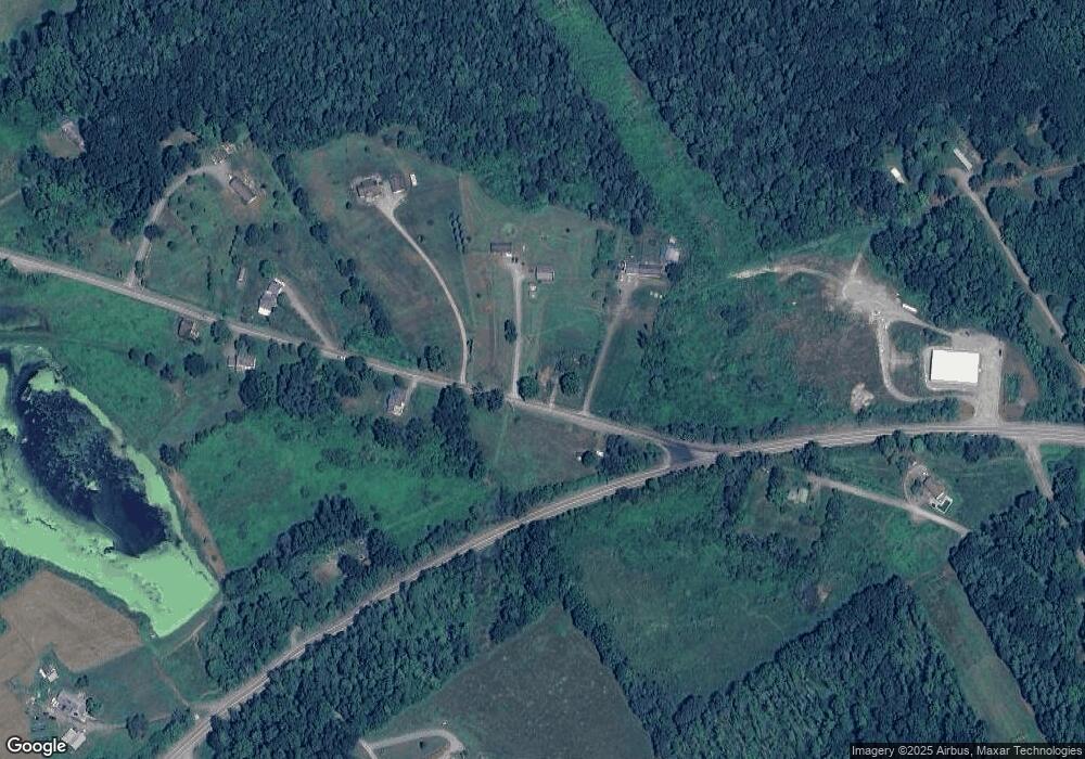
5061 Saco Rd Towanda, PA 18848
Estimated Value: $149,510 - $208,000
3
Beds
1
Bath
1,916
Sq Ft
$93/Sq Ft
Est. Value
About This Home
This home is located at 5061 Saco Rd, Towanda, PA 18848 and is currently estimated at $178,878, approximately $93 per square foot. 5061 Saco Rd is a home located in Bradford County with nearby schools including Morrow Elementary School, Towanda Area Elementary School, and Towanda Area Junior/Senior High School.
Ownership History
Date
Name
Owned For
Owner Type
Purchase Details
Closed on
May 30, 2017
Sold by
Maynard Alexis C
Bought by
Maynard David R
Current Estimated Value
Purchase Details
Closed on
Apr 24, 2015
Sold by
Gay Steven and Gay Jessica E
Bought by
Maynard David R
Home Financials for this Owner
Home Financials are based on the most recent Mortgage that was taken out on this home.
Original Mortgage
$118,750
Interest Rate
3.76%
Mortgage Type
Purchase Money Mortgage
Purchase Details
Closed on
Sep 26, 2012
Sold by
Gay Mellisa
Bought by
Gay Steven
Purchase Details
Closed on
Jun 20, 2011
Sold by
Myers Louis and Perry Melissa
Bought by
Gay Steven and Gay Mellisa
Home Financials for this Owner
Home Financials are based on the most recent Mortgage that was taken out on this home.
Original Mortgage
$121,558
Interest Rate
4.63%
Mortgage Type
VA
Create a Home Valuation Report for This Property
The Home Valuation Report is an in-depth analysis detailing your home's value as well as a comparison with similar homes in the area
Home Values in the Area
Average Home Value in this Area
Purchase History
| Date | Buyer | Sale Price | Title Company |
|---|---|---|---|
| Maynard David R | -- | None Available | |
| Maynard David R | $125,000 | None Available | |
| Gay Steven | -- | None Available | |
| Gay Steven | $119,000 | 1St Ab Ag |
Source: Public Records
Mortgage History
| Date | Status | Borrower | Loan Amount |
|---|---|---|---|
| Previous Owner | Maynard David R | $118,750 | |
| Previous Owner | Gay Steven | $121,558 |
Source: Public Records
Tax History Compared to Growth
Tax History
| Year | Tax Paid | Tax Assessment Tax Assessment Total Assessment is a certain percentage of the fair market value that is determined by local assessors to be the total taxable value of land and additions on the property. | Land | Improvement |
|---|---|---|---|---|
| 2025 | $1,804 | $27,300 | $0 | $0 |
| 2024 | $1,791 | $27,300 | $0 | $0 |
| 2023 | $1,791 | $27,300 | $0 | $0 |
| 2022 | $1,763 | $27,300 | $0 | $0 |
| 2021 | $1,763 | $27,300 | $0 | $0 |
| 2020 | $1,763 | $27,300 | $0 | $0 |
| 2019 | $1,722 | $27,300 | $0 | $0 |
| 2018 | $1,601 | $27,300 | $0 | $0 |
| 2017 | $1,640 | $27,300 | $0 | $0 |
| 2016 | -- | $27,300 | $0 | $0 |
| 2015 | -- | $27,300 | $0 | $0 |
| 2014 | $724 | $27,300 | $0 | $0 |
Source: Public Records
Map
Nearby Homes
- 000 Mary Mac Rd
- 1053 Hornbrook Rd
- 99 Wallyworld Ln
- 4535 Covered Bridge Rd
- 22703 Route 220
- 3544 Sheshequin Rd
- 604-618 Reuter Blvd
- 81 Parsonage Rd
- 71 Hillcrest Dr
- 34 Pratt Ave
- 13 Orchard St
- 232 N 4th St
- 207 York Ave
- 204 York Ave
- 421 State St
- 24154 U S 220
- 109 Chestnut St
- 122 N Main St
- 124 Charles St
- 228 Poplar St
