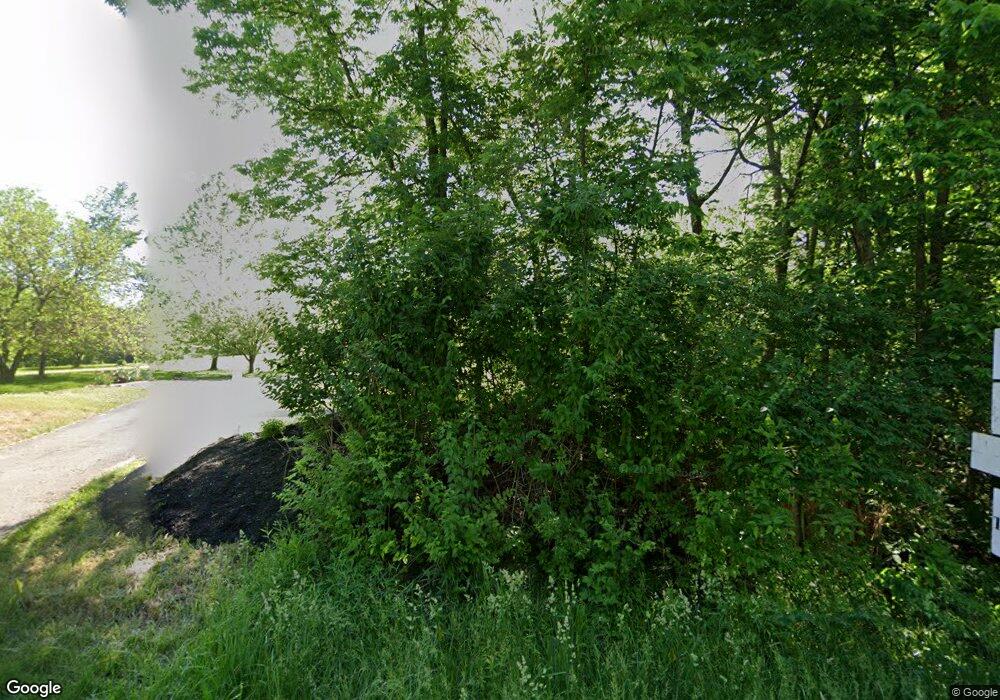
5063 S Main St Whitestown, IN 46075
Estimated Value: $463,000 - $1,005,593
4
Beds
4
Baths
3,780
Sq Ft
$207/Sq Ft
Est. Value
About This Home
This home is located at 5063 S Main St, Whitestown, IN 46075 and is currently estimated at $781,898, approximately $206 per square foot. 5063 S Main St is a home located in Boone County with nearby schools including Boone Meadow Elementary School, Zionsville West Middle School, and Zionsville Community High School.
Ownership History
Date
Name
Owned For
Owner Type
Purchase Details
Closed on
Jul 6, 2018
Sold by
Stump Matthew R and Stump Melissa J
Bought by
Coss Andrew and Coss Jill
Current Estimated Value
Home Financials for this Owner
Home Financials are based on the most recent Mortgage that was taken out on this home.
Original Mortgage
$315,000
Outstanding Balance
$273,032
Interest Rate
4.6%
Mortgage Type
New Conventional
Estimated Equity
$508,866
Create a Home Valuation Report for This Property
The Home Valuation Report is an in-depth analysis detailing your home's value as well as a comparison with similar homes in the area
Home Values in the Area
Average Home Value in this Area
Purchase History
| Date | Buyer | Sale Price | Title Company |
|---|---|---|---|
| Coss Andrew | -- | Title Services |
Source: Public Records
Mortgage History
| Date | Status | Borrower | Loan Amount |
|---|---|---|---|
| Open | Coss Andrew | $315,000 |
Source: Public Records
Tax History Compared to Growth
Tax History
| Year | Tax Paid | Tax Assessment Tax Assessment Total Assessment is a certain percentage of the fair market value that is determined by local assessors to be the total taxable value of land and additions on the property. | Land | Improvement |
|---|---|---|---|---|
| 2025 | $10,432 | $932,600 | $109,900 | $822,700 |
| 2024 | $10,432 | $919,600 | $109,900 | $809,700 |
| 2023 | $9,463 | $838,100 | $109,900 | $728,200 |
| 2022 | $8,913 | $794,200 | $109,900 | $684,300 |
| 2021 | $7,891 | $650,300 | $109,900 | $540,400 |
| 2020 | $7,465 | $626,700 | $109,900 | $516,800 |
| 2019 | $7,312 | $605,900 | $109,900 | $496,000 |
| 2018 | $5,276 | $478,100 | $109,900 | $368,200 |
| 2017 | $5,072 | $467,400 | $109,900 | $357,500 |
| 2016 | $5,142 | $470,600 | $109,900 | $360,700 |
| 2014 | $4,961 | $431,500 | $112,000 | $319,500 |
| 2013 | $5,401 | $421,200 | $112,000 | $309,200 |
Source: Public Records
Map
Nearby Homes
- 6614 Park Grove Blvd
- 6660 Harvest Moon Ln
- 6114 Hardwick Dr
- 4557 Timberline Trail
- 6653 Rainwater Ln
- 6162 Crabapple Dr
- 3511 Sugar Grove Dr
- 6927 Gentle Wind Ln
- 3316 Sugar Grove Dr
- 3487 Sugar Grove Dr
- 6928 Gentle Wind Ln
- 3479 Sugar Grove Dr
- 3461 Sugar Grove Dr
- 3340 Sugar Grove Dr
- 3497 Sugar Grove Dr
- 6875 Emerald Ln
- Lehigh Plan at Windswept Farms - Windswept Farms Single-Family Homes
- Cumberland Plan at Windswept Farms - Windswept Farms Single-Family Homes
- Columbia Plan at Windswept Farms - Windswept Farms Single-Family Homes
- Allegheny Plan at Windswept Farms - Windswept Farms Single-Family Homes
- 5063 S Main St
- 5145 S Main St
- 6495 E 500 S
- 5053 S Main St
- 6605 Shooting Star Dr
- 6615 Shooting Star Dr
- 6598 Shooting Star Dr
- 6588 Shooting Star Dr
- 6550 E 525 S
- 6582 Shooting Star Dr
- 6630 E 525 S
- 6649 Shooting Star Dr
- 6572 Shooting Star Dr
- 6657 Shooting Star Dr
- 6564 Shooting Star Dr
- 6624 Shooting Star Dr
- 4947 S 650 E
- 6671 Shooting Star Dr
- 6558 Shooting Star Dr
- 6634 Shooting Star Dr
