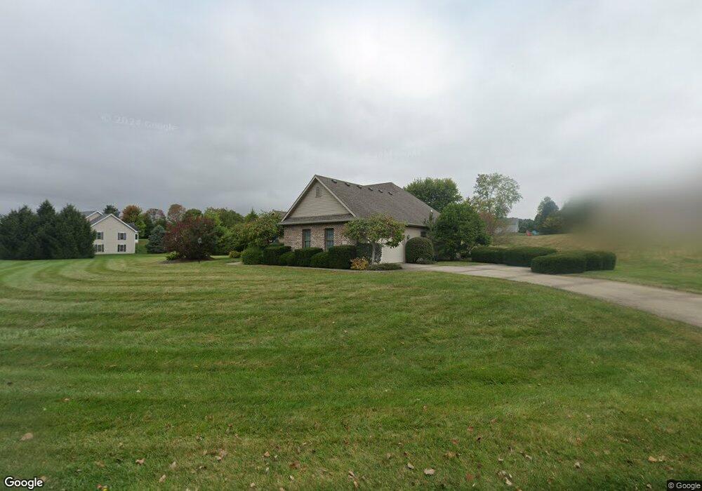
5065 Brookshire Ln Springfield, OH 45502
Estimated Value: $350,000 - $439,000
3
Beds
3
Baths
2,163
Sq Ft
$181/Sq Ft
Est. Value
About This Home
This home is located at 5065 Brookshire Ln, Springfield, OH 45502 and is currently estimated at $391,245, approximately $180 per square foot. 5065 Brookshire Ln is a home located in Clark County with nearby schools including Rolling Hills Elementary School, Northridge Middle School, and Kenton Ridge Middle & High School.
Ownership History
Date
Name
Owned For
Owner Type
Purchase Details
Closed on
Sep 18, 1995
Sold by
Roby David D
Bought by
Bauman Paul D and Bauman Pamela S A
Current Estimated Value
Home Financials for this Owner
Home Financials are based on the most recent Mortgage that was taken out on this home.
Original Mortgage
$178,800
Interest Rate
7.81%
Mortgage Type
New Conventional
Create a Home Valuation Report for This Property
The Home Valuation Report is an in-depth analysis detailing your home's value as well as a comparison with similar homes in the area
Home Values in the Area
Average Home Value in this Area
Purchase History
| Date | Buyer | Sale Price | Title Company |
|---|---|---|---|
| Bauman Paul D | $223,500 | -- |
Source: Public Records
Mortgage History
| Date | Status | Borrower | Loan Amount |
|---|---|---|---|
| Closed | Bauman Paul D | $178,800 |
Source: Public Records
Tax History Compared to Growth
Tax History
| Year | Tax Paid | Tax Assessment Tax Assessment Total Assessment is a certain percentage of the fair market value that is determined by local assessors to be the total taxable value of land and additions on the property. | Land | Improvement |
|---|---|---|---|---|
| 2024 | $4,138 | $97,830 | $27,060 | $70,770 |
| 2023 | $4,138 | $97,830 | $27,060 | $70,770 |
| 2022 | $4,153 | $97,830 | $27,060 | $70,770 |
| 2021 | $4,107 | $82,000 | $22,550 | $59,450 |
| 2020 | $4,111 | $82,000 | $22,550 | $59,450 |
| 2019 | $4,189 | $82,000 | $22,550 | $59,450 |
| 2018 | $3,981 | $74,800 | $15,460 | $59,340 |
| 2017 | $3,412 | $75,146 | $15,460 | $59,686 |
| 2016 | $3,388 | $75,146 | $15,460 | $59,686 |
| 2015 | $3,440 | $74,001 | $14,315 | $59,686 |
| 2014 | $3,440 | $74,001 | $14,315 | $59,686 |
| 2013 | $1,680 | $74,001 | $14,315 | $59,686 |
Source: Public Records
Map
Nearby Homes
- 880 Brendle Trace Unit 28
- 916 Sawmill Ct
- 4514 Dowden St
- 4712 Cullen Ave
- 794 Donnelly Ave
- 593 Hiser Ave
- 970 Forest Edge Ave
- 4622 W Ridgewood Rd
- 5249 Taywell Dr
- 5127 Stoneridge Dr
- 5220 Ridgewood Rd E
- 1709 Thomas Dr
- 4740 Merrimont Ave
- 1461 Student Ave
- 4512 Ridgewood Rd E
- 4109 Derr Rd
- 4446 Ridgewood Rd E Unit 3
- 5095 Brookshire Ln
- 750 Falkirk Dr
- 785 Falkirk Dr
- 5125 Brookshire Ln
- 820 Falkirk Dr
- 5040 Hearthstone Dr
- 730 Falkirk Dr
- 715 Moorefield Ct
- 5110 Brookshire Ln
- 5070 Hearthstone Dr
- 5155 Brookshire Ln
- 725 Falkirk Dr
- 5140 Brookshire Ln
- 721 Moorefield Ct
- 818 Moorefield Rd
- 5170 Brookshire Ln
- 5055 Hearthstone Dr
- 5203 Brookshire Ln
- 728 Moorefield Ct
- 765 Stonecroft Dr