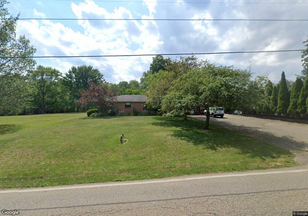
5065 California Ave Louisville, OH 44641
Estimated Value: $256,000 - $297,000
3
Beds
3
Baths
1,776
Sq Ft
$159/Sq Ft
Est. Value
About This Home
This home is located at 5065 California Ave, Louisville, OH 44641 and is currently estimated at $281,594, approximately $158 per square foot. 5065 California Ave is a home located in Stark County with nearby schools including Louisville High School and St. Thomas Aquinas High School & Middle School.
Ownership History
Date
Name
Owned For
Owner Type
Purchase Details
Closed on
Mar 21, 2023
Sold by
Charles E Davis And Gail A Davis Trust and Davis Rachel E
Bought by
Davis Rachel E
Current Estimated Value
Purchase Details
Closed on
Nov 2, 2006
Sold by
Davis Charles E
Bought by
Davis Charles E and Charles E Davis & Gail A Davis Trust
Purchase Details
Closed on
Jun 20, 2003
Sold by
Davis Charles E and Davis Gail A
Bought by
Davis Charles E and Davis Gail A
Home Financials for this Owner
Home Financials are based on the most recent Mortgage that was taken out on this home.
Original Mortgage
$204,500
Interest Rate
5.37%
Mortgage Type
Purchase Money Mortgage
Purchase Details
Closed on
Aug 10, 1992
Purchase Details
Closed on
May 2, 1991
Create a Home Valuation Report for This Property
The Home Valuation Report is an in-depth analysis detailing your home's value as well as a comparison with similar homes in the area
Home Values in the Area
Average Home Value in this Area
Purchase History
| Date | Buyer | Sale Price | Title Company |
|---|---|---|---|
| Davis Rachel E | -- | None Listed On Document | |
| Davis Charles E | -- | Attorney | |
| Davis Charles E | -- | Tower City Title Agency Llc | |
| -- | -- | -- | |
| -- | -- | -- |
Source: Public Records
Mortgage History
| Date | Status | Borrower | Loan Amount |
|---|---|---|---|
| Previous Owner | Davis Charles E | $204,500 |
Source: Public Records
Tax History Compared to Growth
Tax History
| Year | Tax Paid | Tax Assessment Tax Assessment Total Assessment is a certain percentage of the fair market value that is determined by local assessors to be the total taxable value of land and additions on the property. | Land | Improvement |
|---|---|---|---|---|
| 2025 | -- | $85,400 | $19,040 | $66,360 |
| 2024 | -- | $85,400 | $19,040 | $66,360 |
| 2023 | $2,991 | $61,470 | $15,440 | $46,030 |
| 2022 | $2,998 | $61,470 | $15,440 | $46,030 |
| 2021 | $3,007 | $61,470 | $15,440 | $46,030 |
| 2020 | $2,917 | $56,500 | $13,900 | $42,600 |
| 2019 | $2,927 | $56,500 | $13,900 | $42,600 |
| 2018 | $2,919 | $56,500 | $13,900 | $42,600 |
| 2017 | $2,932 | $54,190 | $10,400 | $43,790 |
| 2016 | $2,873 | $54,190 | $10,400 | $43,790 |
| 2015 | $2,880 | $54,190 | $10,400 | $43,790 |
| 2014 | $895 | $50,450 | $9,700 | $40,750 |
| 2013 | $1,452 | $50,450 | $9,700 | $40,750 |
Source: Public Records
Map
Nearby Homes
- 1175 Sturbridge Dr
- 1149 Sturbridge Dr
- 248 Menegay Rd
- 6083 Apple St
- 201 Indiana Ave
- 1561 Noel St
- 0 Brookridge Ave
- 414 Honeycrisp Dr NE
- 300 Kennedy St
- 0 Glenbar St
- 3580 Brookridge Ave Lot 15
- 524 Glenbar St
- 4060 Hambleton Ave NE
- 428 Honeycrisp Dr NE
- 3047 Mcintosh Dr NE
- 432 Honeycrisp Dr NE
- 2962 Mcintosh Dr NE
- 2963 Mcintosh Dr NE
- 430 Honeycrisp Dr NE
- 2957 Mcintosh Dr NE
- 5085 California Ave
- 5015 California Ave
- 5080 California Ave
- 1816 Sturbridge Dr
- 5005 California Ave
- 1815 Sturbridge Dr
- 5110 California Ave
- 5129 California Ave
- 4991 California Ave
- 1805 Sturbridge Dr
- V/L Sturbridge Dr
- 5132 California Ave
- 5147 California Ave
- 1724 Sturbridge Dr
- 1723 Sturbridge Dr
- 1712 Sturbridge Dr
- 1121 Aubrey Cir
- 5171 California Ave
- 1711 Sturbridge Dr
- 5 Lot Aubrey Cir