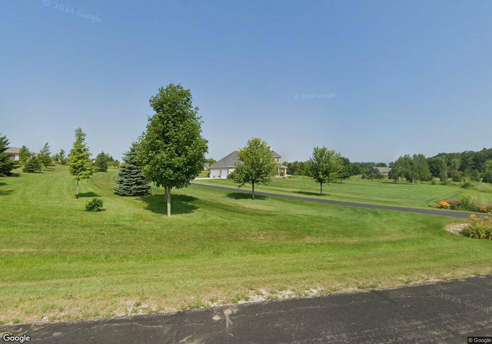
5065 Joshua Dr West Bend, WI 53090
Estimated Value: $648,446 - $904,000
--
Bed
--
Bath
--
Sq Ft
3.53
Acres
About This Home
This home is located at 5065 Joshua Dr, West Bend, WI 53090 and is currently estimated at $806,612. 5065 Joshua Dr is a home located in Washington County with nearby schools including Kewaskum High School.
Ownership History
Date
Name
Owned For
Owner Type
Purchase Details
Closed on
Feb 10, 2025
Sold by
Robinson Patrick J and Robinson Jennifer R
Bought by
Robinson Patrick J and Robinson Jennie R
Current Estimated Value
Purchase Details
Closed on
May 16, 2005
Sold by
Essence Of Time Llc
Bought by
Robinson Patrick J and Robinson Jennifer R
Home Financials for this Owner
Home Financials are based on the most recent Mortgage that was taken out on this home.
Original Mortgage
$71,100
Interest Rate
5%
Mortgage Type
Adjustable Rate Mortgage/ARM
Create a Home Valuation Report for This Property
The Home Valuation Report is an in-depth analysis detailing your home's value as well as a comparison with similar homes in the area
Home Values in the Area
Average Home Value in this Area
Purchase History
| Date | Buyer | Sale Price | Title Company |
|---|---|---|---|
| Robinson Patrick J | -- | -- | |
| Robinson Patrick J | $79,000 | Abstract & Title Company |
Source: Public Records
Mortgage History
| Date | Status | Borrower | Loan Amount |
|---|---|---|---|
| Previous Owner | Robinson Patrick J | $71,100 |
Source: Public Records
Tax History Compared to Growth
Tax History
| Year | Tax Paid | Tax Assessment Tax Assessment Total Assessment is a certain percentage of the fair market value that is determined by local assessors to be the total taxable value of land and additions on the property. | Land | Improvement |
|---|---|---|---|---|
| 2024 | $4,945 | $435,200 | $78,100 | $357,100 |
| 2023 | $4,481 | $435,200 | $78,100 | $357,100 |
| 2022 | $4,081 | $435,200 | $78,100 | $357,100 |
| 2021 | $4,203 | $435,200 | $78,100 | $357,100 |
| 2020 | $4,284 | $435,200 | $78,100 | $357,100 |
| 2019 | $4,605 | $373,500 | $68,000 | $305,500 |
| 2018 | $4,568 | $373,500 | $68,000 | $305,500 |
| 2017 | $4,653 | $373,500 | $68,000 | $305,500 |
| 2016 | $4,574 | $373,500 | $68,000 | $305,500 |
| 2015 | $4,645 | $373,500 | $68,000 | $305,500 |
| 2014 | $4,645 | $373,500 | $68,000 | $305,500 |
| 2013 | $5,125 | $373,500 | $68,000 | $305,500 |
Source: Public Records
Map
Nearby Homes
- 5036 County Highway D
- 7721 Aurora Rd
- 7165 Town Line Rd
- 8480 Fairview Dr
- Lt0 County Hwy W
- 6837 Reuter Ln
- Lt3-5 Schuster Dr
- Lt3 Schuster Dr
- Lt5 Schuster Dr
- Lt4 Schuster Dr
- 6386 Alpine Dr
- 744 Ojibwe Path
- 5954 Mohawk Rd
- Lt2 Beaver Dam Rd
- 800 Chief Kewaskum Place
- 7360 Rustic Rd
- 6372 Wildlife Rd
- 4538 Church Dr
- Lt2 Wilson Dr
- Lt1 Wilson Dr