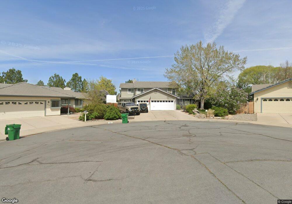
5065 Palo Alto Cir Unit 1 Sparks, NV 89436
Los Altos Parkway NeighborhoodEstimated Value: $679,000 - $782,000
4
Beds
4
Baths
2,739
Sq Ft
$261/Sq Ft
Est. Value
About This Home
This home is located at 5065 Palo Alto Cir Unit 1, Sparks, NV 89436 and is currently estimated at $714,970, approximately $261 per square foot. 5065 Palo Alto Cir Unit 1 is a home located in Washoe County with nearby schools including Bud Beasley Elementary School, Edward C Reed High School, and Excel Christian School.
Ownership History
Date
Name
Owned For
Owner Type
Purchase Details
Closed on
Jun 13, 2003
Sold by
Barker Brett D and Barker Deborah L
Bought by
Davis Michael S and Davis Shawn M
Current Estimated Value
Home Financials for this Owner
Home Financials are based on the most recent Mortgage that was taken out on this home.
Original Mortgage
$260,000
Outstanding Balance
$112,487
Interest Rate
5.61%
Mortgage Type
Unknown
Estimated Equity
$602,483
Purchase Details
Closed on
Mar 27, 2001
Sold by
Barker Brett D and Barker Deborah L
Bought by
Barker Brett D and Barker Deborah L
Create a Home Valuation Report for This Property
The Home Valuation Report is an in-depth analysis detailing your home's value as well as a comparison with similar homes in the area
Home Values in the Area
Average Home Value in this Area
Purchase History
| Date | Buyer | Sale Price | Title Company |
|---|---|---|---|
| Davis Michael S | $335,900 | Stewart Title Of Northern Nv | |
| Barker Brett D | -- | Stewart Title Northern Nevad |
Source: Public Records
Mortgage History
| Date | Status | Borrower | Loan Amount |
|---|---|---|---|
| Open | Davis Michael S | $260,000 | |
| Closed | Davis Michael S | $59,105 |
Source: Public Records
Tax History Compared to Growth
Tax History
| Year | Tax Paid | Tax Assessment Tax Assessment Total Assessment is a certain percentage of the fair market value that is determined by local assessors to be the total taxable value of land and additions on the property. | Land | Improvement |
|---|---|---|---|---|
| 2025 | $3,353 | $129,914 | $48,944 | $80,970 |
| 2024 | $3,257 | $128,806 | $46,086 | $82,719 |
| 2023 | $3,257 | $123,299 | $44,517 | $78,783 |
| 2022 | $3,166 | $103,826 | $37,755 | $66,072 |
| 2021 | $3,073 | $93,616 | $27,410 | $66,206 |
| 2020 | $2,980 | $94,122 | $27,370 | $66,752 |
| 2019 | $2,893 | $92,537 | $28,014 | $64,523 |
| 2018 | $2,811 | $83,883 | $20,447 | $63,436 |
| 2017 | $2,729 | $82,748 | $18,918 | $63,830 |
| 2016 | $2,659 | $81,079 | $16,704 | $64,375 |
| 2015 | $2,657 | $79,393 | $14,812 | $64,581 |
| 2014 | $2,578 | $74,909 | $12,518 | $62,391 |
| 2013 | -- | $66,764 | $10,264 | $56,500 |
Source: Public Records
Map
Nearby Homes
- 5276 Santa Rosa Ave
- 1388 Lambrays Ln
- 5105 Santa Anita Dr
- 1304 Lambrusca Dr
- 1560 Freeman Way
- 1716 Canyon Terrace Dr
- 1550 Istrice Rd
- 1685 Southview Dr
- 1215 Ebling Dr
- 3693 Vista Blvd
- 4788 Ravello Dr
- 4675 Firtree Ln
- 4748 Pradera St
- 4950 San Diego Ct
- 5049 Keams Ct
- 4393 Acobat Ct
- 4515 Whitney Cir
- 5436 Vista Terrace Ln Unit 2B
- 5780 Camino Verde Dr Unit 105
- 1484 Serendipity Ct
- 5055 Palo Alto Cir
- 5075 Palo Alto Cir
- 1625 Iratcabal Dr
- 5045 Palo Alto Cir
- 1615 Iratcabal Dr
- 5085 Palo Alto Cir
- 1635 Iratcabal Dr
- 1645 Iratcabal Dr
- 1605 Iratcabal Dr
- 5035 Palo Alto Cir
- 5076 Palo Alto Cir
- 5046 Palo Alto Cir
- 5095 Palo Alto Cir
- 1655 Iratcabal Dr
- 1595 Iratcabal Dr
- 5025 Palo Alto Cir
- 5096 Palo Alto Cir
- 1589 Iratcabal Dr
- 5105 Palo Alto Ct
- 5109 Palo Alto Ct Unit 1