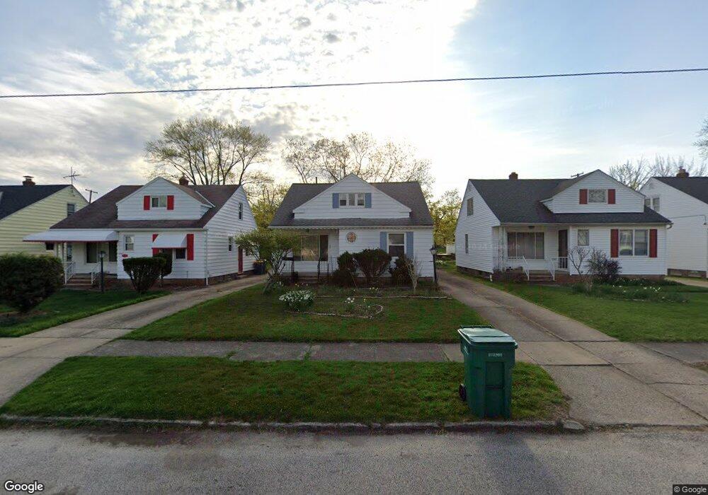
5065 Philip Ave Maple Heights, OH 44137
Estimated Value: $118,000 - $134,000
3
Beds
2
Baths
1,272
Sq Ft
$99/Sq Ft
Est. Value
About This Home
This home is located at 5065 Philip Ave, Maple Heights, OH 44137 and is currently estimated at $125,553, approximately $98 per square foot. 5065 Philip Ave is a home located in Cuyahoga County with nearby schools including Abraham Lincoln Elementary School, Rockside/ J.F. Kennedy School, and Italy High School.
Ownership History
Date
Name
Owned For
Owner Type
Purchase Details
Closed on
Dec 23, 2024
Sold by
Louis Catherine G and Louis Vivian R
Bought by
Louis Catherine G and Louis Vivian R
Current Estimated Value
Purchase Details
Closed on
Jun 27, 2002
Sold by
Estate Of Gertrude B Louis
Bought by
Louis Catherine G and Louis Vivian R
Purchase Details
Closed on
Mar 29, 1985
Sold by
Louis Henry and Louis Gertrude B
Bought by
Louis Henry
Purchase Details
Closed on
Jan 1, 1975
Bought by
Louis Henry and Louis Gertrude B
Create a Home Valuation Report for This Property
The Home Valuation Report is an in-depth analysis detailing your home's value as well as a comparison with similar homes in the area
Home Values in the Area
Average Home Value in this Area
Purchase History
| Date | Buyer | Sale Price | Title Company |
|---|---|---|---|
| Louis Catherine G | -- | None Listed On Document | |
| Louis Catherine G | -- | -- | |
| Louis Henry | -- | -- | |
| Louis Henry | -- | -- |
Source: Public Records
Tax History Compared to Growth
Tax History
| Year | Tax Paid | Tax Assessment Tax Assessment Total Assessment is a certain percentage of the fair market value that is determined by local assessors to be the total taxable value of land and additions on the property. | Land | Improvement |
|---|---|---|---|---|
| 2024 | $2,315 | $35,560 | $7,140 | $28,420 |
| 2023 | $1,068 | $18,200 | $4,340 | $13,860 |
| 2022 | $1,103 | $18,200 | $4,340 | $13,860 |
| 2021 | $1,169 | $18,200 | $4,340 | $13,860 |
| 2020 | $788 | $13,790 | $3,290 | $10,500 |
| 2019 | $777 | $39,400 | $9,400 | $30,000 |
| 2018 | $642 | $13,790 | $3,290 | $10,500 |
| 2017 | $566 | $11,800 | $3,010 | $8,790 |
| 2016 | $543 | $11,800 | $3,010 | $8,790 |
| 2015 | $606 | $11,800 | $3,010 | $8,790 |
| 2014 | $606 | $12,960 | $3,330 | $9,630 |
Source: Public Records
Map
Nearby Homes
- 5061 Philip Ave
- 5082 Philip Ave
- 5110 Philip Ave
- 5031 Cato St
- 5185 Clement Ave
- 5231 Philip Ave
- 5199 Arch St
- 5208 Clement Ave
- 5257 Philip Ave
- 5212 Catherine St
- 5239 Arch St
- 16712 Kollin Ave
- 5234 Erwin St
- 16706 Myrtle Ave
- 5210 Theodore St
- 5320 Clement Ave
- 17916 North Blvd
- 17912 North Blvd
- 16241 Glenburn Ave
- 17806 Maple Heights Blvd
- 5073 Philip Ave
- 5057 Philip Ave
- 5053 Philip Ave
- 5066 Thomas St
- 5062 Thomas St
- 5070 Thomas St
- 5074 Thomas St
- 5049 Philip Ave
- 5081 Philip Ave
- 5054 Thomas St
- 5078 Thomas St
- 5066 Philip Ave
- 5070 Philip Ave
- 5062 Philip Ave
- 5045 Philip Ave
- 5074 Philip Ave
- 5058 Philip Ave
- 5050 Thomas St
- 5082 Thomas St
- 5078 Philip Ave