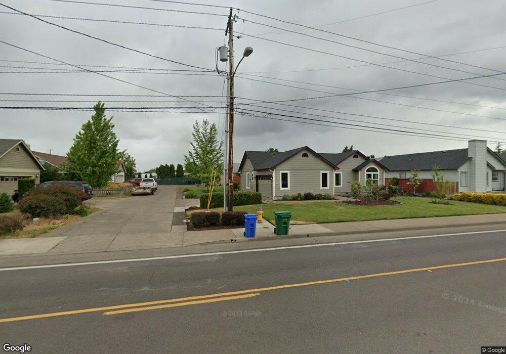
5065 Royal Ave Eugene, OR 97402
Bethel NeighborhoodEstimated Value: $386,816 - $516,000
3
Beds
2
Baths
1,296
Sq Ft
$330/Sq Ft
Est. Value
About This Home
This home is located at 5065 Royal Ave, Eugene, OR 97402 and is currently estimated at $427,454, approximately $329 per square foot. 5065 Royal Ave is a home located in Lane County with nearby schools including Prairie Mountain School and Willamette High School.
Ownership History
Date
Name
Owned For
Owner Type
Purchase Details
Closed on
Aug 19, 2024
Sold by
Crownover Brenda L
Bought by
Crownover Doyle
Current Estimated Value
Purchase Details
Closed on
Jan 12, 2015
Sold by
Philipsen Adriana
Bought by
Crownover Doyle G and Crownover Brenda L
Home Financials for this Owner
Home Financials are based on the most recent Mortgage that was taken out on this home.
Original Mortgage
$179,273
Interest Rate
3.82%
Mortgage Type
VA
Create a Home Valuation Report for This Property
The Home Valuation Report is an in-depth analysis detailing your home's value as well as a comparison with similar homes in the area
Home Values in the Area
Average Home Value in this Area
Purchase History
| Date | Buyer | Sale Price | Title Company |
|---|---|---|---|
| Crownover Doyle | $20,000 | None Listed On Document | |
| Crownover Doyle G | $175,500 | Cascade Title Company |
Source: Public Records
Mortgage History
| Date | Status | Borrower | Loan Amount |
|---|---|---|---|
| Previous Owner | Crownover Doyle G | $179,273 |
Source: Public Records
Tax History
| Year | Tax Paid | Tax Assessment Tax Assessment Total Assessment is a certain percentage of the fair market value that is determined by local assessors to be the total taxable value of land and additions on the property. | Land | Improvement |
|---|---|---|---|---|
| 2025 | $3,740 | $214,994 | -- | -- |
| 2024 | $3,645 | $208,733 | -- | -- |
| 2023 | $3,645 | $202,654 | -- | -- |
| 2022 | $3,393 | $196,752 | $0 | $0 |
| 2021 | $3,322 | $191,022 | $0 | $0 |
| 2020 | $3,225 | $185,459 | $0 | $0 |
| 2019 | $3,066 | $180,058 | $0 | $0 |
| 2018 | $2,981 | $169,722 | $0 | $0 |
| 2017 | $2,849 | $169,722 | $0 | $0 |
| 2016 | $2,776 | $164,779 | $0 | $0 |
| 2015 | $2,721 | $159,980 | $0 | $0 |
| 2014 | $2,680 | $155,320 | $0 | $0 |
Source: Public Records
Map
Nearby Homes
- 4900 Royal Ave Unit 105
- 5260 Forest Ln
- 749 St Charles St
- 735 St Charles St
- 723 St Charles St
- 715 St Charles St
- 1199 N Terry St
- 1199 N Terry St Unit 259
- 1199 N Terry St Unit 139
- 1199 N Terry St Unit 258
- 1199 N Terry St Unit 309
- 1199 N Terry St Unit SP282
- 1199 N Terry St Unit 128
- 1199 N Terry St Unit 366
- 5254 Forest Ln
- 716 St Charles St
- 683 Saint Charles St
- 671 Saint Charles St
- 5275 Forest Ln
- 648 Oakwood Dr
- 5061 Royal Ave
- 5067 Royal Ave
- 5015 Royal Ave
- 5035 Royal Ave
- 5071 Royal Ave
- 5075 Royal Ave
- 4995 Royal Ave
- 4975 Royal Ave
- 5085 Royal Ave
- 5046 Royal Ave
- 5081 Royal Ave
- 5062 Royal Ave
- 5074 Royal Ave
- 797 Driftwood Dr
- 5042 Royal Ave
- 4970 Royal Ave
- 4966 Royal Ave
- 5093 Royal Ave
- 785 Driftwood Dr
- 5097 Royal Ave
Your Personal Tour Guide
Ask me questions while you tour the home.