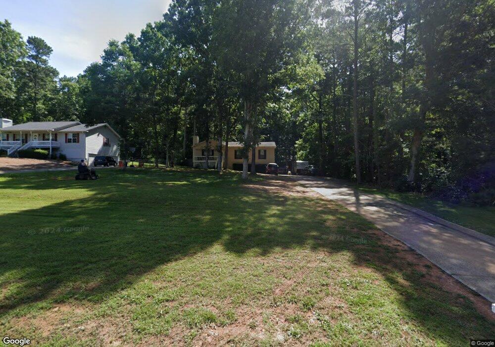
5065 Shadowood Dr Unit 2 Canton, GA 30114
Estimated Value: $349,000
3
Beds
2
Baths
1,228
Sq Ft
$284/Sq Ft
Est. Value
About This Home
This home is located at 5065 Shadowood Dr Unit 2, Canton, GA 30114 and is currently estimated at $349,000, approximately $284 per square foot. 5065 Shadowood Dr Unit 2 is a home located in Cherokee County with nearby schools including Sixes Elementary School, Freedom Middle School, and Woodstock High School.
Ownership History
Date
Name
Owned For
Owner Type
Purchase Details
Closed on
Oct 28, 2004
Sold by
Little River Capital Llc
Bought by
Simmons Robbie J and Simmons Martha
Current Estimated Value
Home Financials for this Owner
Home Financials are based on the most recent Mortgage that was taken out on this home.
Original Mortgage
$26,600
Interest Rate
5.62%
Mortgage Type
New Conventional
Create a Home Valuation Report for This Property
The Home Valuation Report is an in-depth analysis detailing your home's value as well as a comparison with similar homes in the area
Home Values in the Area
Average Home Value in this Area
Purchase History
| Date | Buyer | Sale Price | Title Company |
|---|---|---|---|
| Simmons Robbie J | $133,000 | -- |
Source: Public Records
Mortgage History
| Date | Status | Borrower | Loan Amount |
|---|---|---|---|
| Closed | Simmons Robbie J | $26,600 | |
| Open | Simmons Robbie J | $106,400 |
Source: Public Records
Tax History Compared to Growth
Tax History
| Year | Tax Paid | Tax Assessment Tax Assessment Total Assessment is a certain percentage of the fair market value that is determined by local assessors to be the total taxable value of land and additions on the property. | Land | Improvement |
|---|---|---|---|---|
| 2025 | $607 | $124,188 | $26,000 | $98,188 |
| 2024 | $587 | $116,268 | $24,000 | $92,268 |
| 2023 | $437 | $112,788 | $24,000 | $88,788 |
| 2022 | $537 | $91,828 | $24,000 | $67,828 |
| 2021 | $530 | $77,668 | $18,240 | $59,428 |
| 2020 | $499 | $68,988 | $16,000 | $52,988 |
| 2019 | $480 | $63,840 | $15,200 | $48,640 |
| 2018 | $1,580 | $59,040 | $14,000 | $45,040 |
| 2017 | $1,449 | $132,300 | $12,800 | $40,120 |
| 2016 | $1,325 | $119,600 | $11,200 | $36,640 |
| 2015 | $1,212 | $108,800 | $10,800 | $32,720 |
| 2014 | $898 | $82,000 | $6,000 | $26,800 |
Source: Public Records
Map
Nearby Homes
- 5045 Shadowood Dr
- 5085 Shadowood Dr
- 5015 Shadowood Dr
- 5105 Shadowood Dr
- 1800 Mountain Trace
- 2543 Mountain Brook Rd
- 5050 Shadowood Dr
- 1820 Mountain Trace
- 5070 Shadowood Dr
- 5030 Shadowood Dr
- 1780 Mountain Trace
- 5090 Shadowood Dr Unit 2
- 5010 Shadowood Dr
- 0 Shadow Wood Dr Unit 7373636
- 0 Shadow Wood Dr Unit 7263997
- 0 Shadow Wood Dr Unit 8898275
- 0 Shadow Wood Dr Unit 8690501
- 0 Shadow Wood Dr Unit 8142071
- 1830 Mountain Trace
- 5115 Shadowood Dr