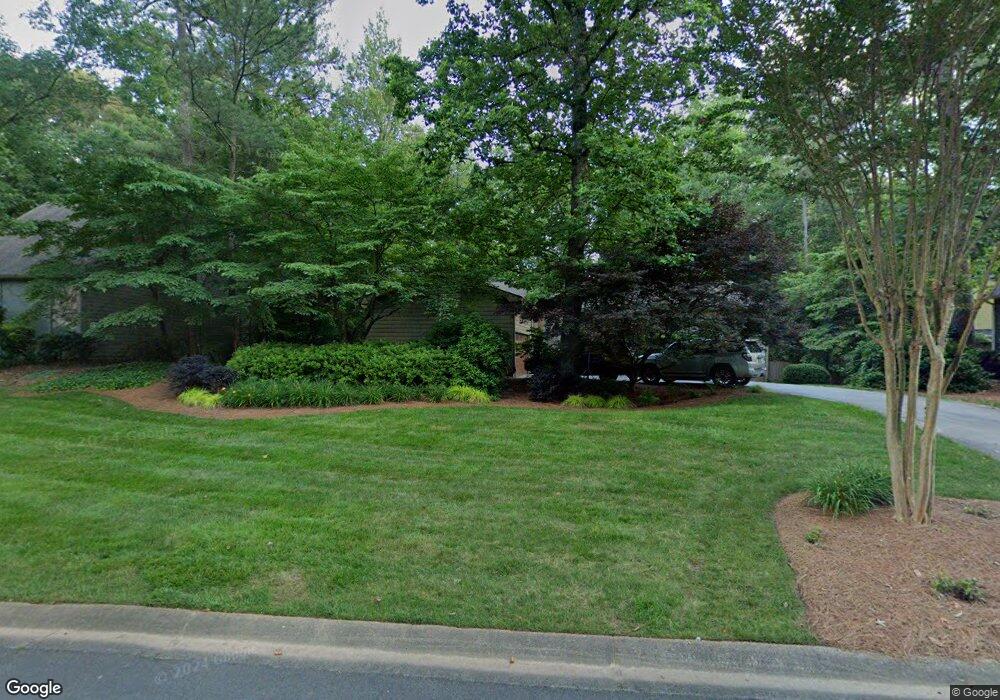
5066 Spring Rock Terrace NE Unit 2 Roswell, GA 30075
East Cobb NeighborhoodEstimated Value: $639,857 - $690,000
4
Beds
3
Baths
2,256
Sq Ft
$291/Sq Ft
Est. Value
About This Home
This home is located at 5066 Spring Rock Terrace NE Unit 2, Roswell, GA 30075 and is currently estimated at $656,214, approximately $290 per square foot. 5066 Spring Rock Terrace NE Unit 2 is a home located in Cobb County with nearby schools including Tritt Elementary School, Hightower Trail Middle School, and Pope High School.
Ownership History
Date
Name
Owned For
Owner Type
Purchase Details
Closed on
Jun 14, 2001
Sold by
Stevens Charles P and Stevens Eleanor P
Bought by
Seabolt Anthony R
Current Estimated Value
Home Financials for this Owner
Home Financials are based on the most recent Mortgage that was taken out on this home.
Original Mortgage
$203,920
Outstanding Balance
$76,763
Interest Rate
7.14%
Mortgage Type
New Conventional
Estimated Equity
$579,451
Create a Home Valuation Report for This Property
The Home Valuation Report is an in-depth analysis detailing your home's value as well as a comparison with similar homes in the area
Home Values in the Area
Average Home Value in this Area
Purchase History
| Date | Buyer | Sale Price | Title Company |
|---|---|---|---|
| Seabolt Anthony R | $254,900 | -- |
Source: Public Records
Mortgage History
| Date | Status | Borrower | Loan Amount |
|---|---|---|---|
| Open | Seabolt Anthony R | $203,920 |
Source: Public Records
Tax History Compared to Growth
Tax History
| Year | Tax Paid | Tax Assessment Tax Assessment Total Assessment is a certain percentage of the fair market value that is determined by local assessors to be the total taxable value of land and additions on the property. | Land | Improvement |
|---|---|---|---|---|
| 2025 | $5,949 | $246,620 | $80,000 | $166,620 |
| 2024 | $5,819 | $240,400 | $64,000 | $176,400 |
| 2023 | $4,420 | $200,892 | $42,000 | $158,892 |
| 2022 | $5,001 | $200,892 | $42,000 | $158,892 |
| 2021 | $4,224 | $165,412 | $40,000 | $125,412 |
| 2020 | $4,224 | $165,412 | $40,000 | $125,412 |
| 2019 | $3,877 | $149,544 | $34,400 | $115,144 |
| 2018 | $3,877 | $149,544 | $34,400 | $115,144 |
| 2017 | $3,332 | $131,360 | $36,400 | $94,960 |
| 2016 | $3,336 | $131,360 | $36,400 | $94,960 |
| 2015 | $3,053 | $115,292 | $32,000 | $83,292 |
| 2014 | $3,077 | $115,292 | $0 | $0 |
Source: Public Records
Map
Nearby Homes
- 2482 N Forest Dr
- 2661 Sandpoint Way NE
- 2696 Long Lake Terrace NE
- 2655 Boulder Creek Dr NE
- 2779 Horseshoe Knoll Ln NE
- 110 Boulder Dr
- 2743 Chimney Springs Dr
- 2859 Tynewick Dr NE
- 5250 Pikes Peak Ct
- 2212 Heritage Trace View
- 2990 Mountain Trace NE
- 2281 Fox Hound Pkwy
- 4586 Hunting Hound Ln
- 2255 Rushmore Dr
- 4013 Lake Pointe Cir Unit 4013
- 3113 Lake Pointe Cir
- 2528 Chimney Springs Dr
- 5068 Spring Rock Terrace NE
- 1559 Sandpoint Dr NE
- 1561 Sandpoint Dr NE
- 2671 Long Lake Dr NE Unit 1
- 2667 Long Lake Dr NE
- 5071 Spring Rock Terrace NE
- 5070 Spring Rock Terrace NE
- 5073 Spring Rock Terrace NE
- 0 Sandpoint Dr Unit 7189580
- 1563 Sandpoint Dr NE
- 2661 Long Lake Dr NE
- 2675 Long Lake Dr NE
- 1568 Sandpoint Dr NE
- 1557 Sandpoint Dr NE Unit 2
- 5072 Spring Rock Terrace NE
- 2685 Spring Rock Ct NE Unit 2
- 1565 Sandpoint Dr NE
- 2681 Long Lake Dr NE
- 2680 Spring Rock Ct NE
- 1570 Sandpoint Dr NE