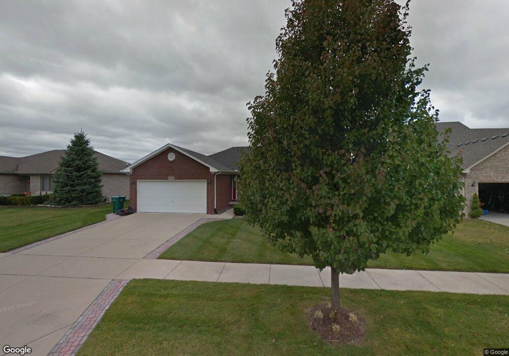
50665 Commons Dr Macomb, MI 48042
Estimated Value: $392,000 - $590,000
3
Beds
2
Baths
1,700
Sq Ft
$272/Sq Ft
Est. Value
About This Home
This home is located at 50665 Commons Dr, Macomb, MI 48042 and is currently estimated at $463,249, approximately $272 per square foot. 50665 Commons Dr is a home located in Macomb County with nearby schools including Shawnee Elementary School, Seneca Middle School, and Dakota High School.
Ownership History
Date
Name
Owned For
Owner Type
Purchase Details
Closed on
Nov 18, 2010
Sold by
Caruso Thomas S and Caruso Tammy
Bought by
Bjerke Leland P and Bjerke Marie
Current Estimated Value
Purchase Details
Closed on
Dec 6, 2002
Sold by
Mer Building Inc
Bought by
Caruso Thomas S
Home Financials for this Owner
Home Financials are based on the most recent Mortgage that was taken out on this home.
Original Mortgage
$19,450
Interest Rate
6.23%
Mortgage Type
Purchase Money Mortgage
Create a Home Valuation Report for This Property
The Home Valuation Report is an in-depth analysis detailing your home's value as well as a comparison with similar homes in the area
Home Values in the Area
Average Home Value in this Area
Purchase History
| Date | Buyer | Sale Price | Title Company |
|---|---|---|---|
| Bjerke Leland P | $196,500 | Devon Title Agency | |
| Caruso Thomas S | $70,000 | -- |
Source: Public Records
Mortgage History
| Date | Status | Borrower | Loan Amount |
|---|---|---|---|
| Previous Owner | Caruso Thomas S | $19,450 |
Source: Public Records
Tax History
| Year | Tax Paid | Tax Assessment Tax Assessment Total Assessment is a certain percentage of the fair market value that is determined by local assessors to be the total taxable value of land and additions on the property. | Land | Improvement |
|---|---|---|---|---|
| 2025 | $3,176 | $182,400 | $0 | $0 |
| 2024 | $31 | $178,600 | $0 | $0 |
| 2023 | $2,929 | $165,400 | $0 | $0 |
| 2022 | $3,733 | $147,900 | $0 | $0 |
| 2021 | $3,629 | $139,500 | $0 | $0 |
| 2020 | $2,687 | $135,700 | $0 | $0 |
| 2019 | $3,364 | $127,800 | $0 | $0 |
| 2018 | $3,295 | $125,000 | $0 | $0 |
| 2017 | $3,230 | $119,340 | $32,500 | $86,840 |
| 2016 | $3,068 | $119,340 | $0 | $0 |
| 2015 | $3,028 | $110,520 | $0 | $0 |
| 2014 | $3,028 | $98,350 | $21,500 | $76,850 |
| 2013 | $2,173 | $98,350 | $0 | $0 |
Source: Public Records
Map
Nearby Homes
- 22106 Grove Dr Unit Lot 43
- 22138 Grove Dr Unit Lot 41
- 50710 Summit View Dr Unit Lot 12
- 22121 Tahquamenon Ct Unit Lot 37
- 50567 Summit View Dr Unit Lot 32
- 50632 Summit View Dr Unit Lot 15
- 50529 Summit View Dr Unit Lot 31
- 50606 Summit View Dr Unit Lot 16
- 50996 Summit View Dr
- 51434 Nature Trail Dr
- 51397 Deerbrook Dr
- 50954 Remar Farms Dr
- 51079 Deerbrook Dr
- 22440 23 Mile Rd
- 51337 Nature Trail Dr
- 22064 Chaucer Ct
- 51285 Deerbrook Dr
- 51410 Green Meadows Dr
- 22351 Orchard Brook Ct
- 51369 Deerbrook Dr
- 50639 Commons Dr
- 50691 Commons Dr
- 50658 Meander Dr
- 50684 Meander Dr
- 50717 Commons Dr
- 50613 Commons Dr
- 50632 Meander Dr
- 50710 Meander Dr
- 50676 Commons Dr
- 50702 Commons Dr
- 50743 Commons Dr
- 50606 Meander Dr
- 50728 Commons Dr
- 50624 Commons Dr
- 21939 Preserve Ct
- 50587 Commons Dr
- 50754 Commons Dr
- 50769 Commons Dr
- 22107 Grove Dr
- 22107 Grove Dr Unit Lot 44
Your Personal Tour Guide
Ask me questions while you tour the home.