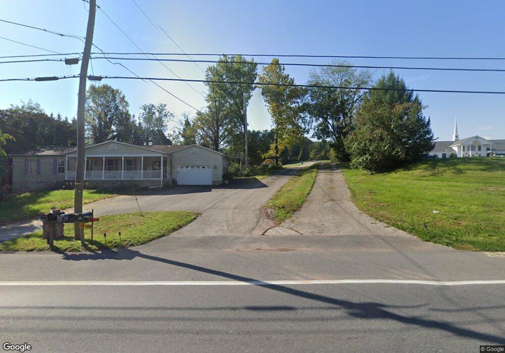
5067 Baltimore Pike Unit 1 Littlestown, PA 17340
Estimated Value: $216,000 - $275,000
3
Beds
1
Bath
960
Sq Ft
$264/Sq Ft
Est. Value
About This Home
This home is located at 5067 Baltimore Pike Unit 1, Littlestown, PA 17340 and is currently estimated at $253,001, approximately $263 per square foot. 5067 Baltimore Pike Unit 1 is a home located in Adams County with nearby schools including Rolling Acres El School, Maple Avenue Middle School, and Littlestown Senior High School.
Ownership History
Date
Name
Owned For
Owner Type
Purchase Details
Closed on
Oct 5, 2018
Sold by
Bowman Tryo J and Hofman Melissa L
Bought by
Bowman Tryo J and Bowman Melissa L
Current Estimated Value
Purchase Details
Closed on
Apr 7, 2009
Sold by
Flagstar Bank Fsb
Bought by
Hawn Mark J
Home Financials for this Owner
Home Financials are based on the most recent Mortgage that was taken out on this home.
Original Mortgage
$127,398
Interest Rate
4.86%
Mortgage Type
New Conventional
Purchase Details
Closed on
Nov 7, 2008
Sold by
Harris Rita M
Bought by
Flagstar Bank Fsb
Create a Home Valuation Report for This Property
The Home Valuation Report is an in-depth analysis detailing your home's value as well as a comparison with similar homes in the area
Home Values in the Area
Average Home Value in this Area
Purchase History
| Date | Buyer | Sale Price | Title Company |
|---|---|---|---|
| Bowman Tryo J | -- | -- | |
| Hawn Mark J | $124,900 | -- | |
| Flagstar Bank Fsb | $1,911 | -- |
Source: Public Records
Mortgage History
| Date | Status | Borrower | Loan Amount |
|---|---|---|---|
| Previous Owner | Hawn Mark J | $127,398 |
Source: Public Records
Tax History Compared to Growth
Tax History
| Year | Tax Paid | Tax Assessment Tax Assessment Total Assessment is a certain percentage of the fair market value that is determined by local assessors to be the total taxable value of land and additions on the property. | Land | Improvement |
|---|---|---|---|---|
| 2025 | $2,601 | $137,400 | $41,000 | $96,400 |
| 2024 | $2,500 | $137,400 | $41,000 | $96,400 |
| 2023 | $2,437 | $137,400 | $41,000 | $96,400 |
| 2022 | $2,419 | $137,400 | $41,000 | $96,400 |
| 2021 | $2,333 | $137,400 | $41,000 | $96,400 |
| 2020 | $2,299 | $137,400 | $41,000 | $96,400 |
| 2019 | $2,250 | $137,400 | $41,000 | $96,400 |
| 2018 | $2,183 | $137,400 | $41,000 | $96,400 |
| 2017 | $2,103 | $136,600 | $41,000 | $95,600 |
| 2016 | -- | $136,600 | $41,000 | $95,600 |
| 2015 | -- | $136,600 | $41,000 | $95,600 |
| 2014 | -- | $136,600 | $41,000 | $95,600 |
Source: Public Records
Map
Nearby Homes
- 58 Windsor Ct
- 48 Windsor Ct
- 20 Locust Dr
- 20c Locust Dr
- 0 Locust Dr Unit PAAD2015910
- 161 Stoners Cir
- 58 N Gala Unit 397
- 440 N Queen St
- 135 Apple Grove Ln Unit 438
- 52 Stayman Way Unit 81
- 140 Apple Grove Ln Unit 425
- 162 Newark St
- 22 Rita Marie Ave
- 1024 Frederick Pike Unit 6
- 129 W King St
- 115 Charles St
- 117 Charles St
- 61 E King St
- 41 Smith Cir
- 211 E King St
- 5067 Baltimore Pike Unit A
- 5067 Baltimore Pike
- 5071 Baltimore Pike Unit 3
- 5085 Baltimore Pike
- 5059 Baltimore Pike
- 5097 Baltimore Pike
- 5072 Baltimore Pike
- 5109 Baltimore Pike Unit 1
- 5036 Baltimore Pike Unit 2
- 5005 Baltimore Pike
- 5010 Baltimore Pike
- 5032 Baltimore Pike
- 5100 Baltimore Pike
- 40 Matthew Ct Unit 7
- 5165 Baltimore Pike Unit 39
- 54 Matthew Ct Unit 8
- 93 Kensington Dr Unit 38
- 68 Matthew Ct Unit 9
- None None