5067 Smokey Rd Newnan, GA 30263
Estimated Value: $2,918,000 - $4,556,921
4
Beds
10
Baths
8,745
Sq Ft
$427/Sq Ft
Est. Value
About This Home
This home is located at 5067 Smokey Rd, Newnan, GA 30263 and is currently estimated at $3,737,461, approximately $427 per square foot. 5067 Smokey Rd is a home located in Coweta County with nearby schools including Ruth Hill Elementary School, Smokey Road Middle School, and Newnan High School.
Ownership History
Date
Name
Owned For
Owner Type
Purchase Details
Closed on
May 12, 2025
Sold by
Estes G Nadia
Bought by
Smokey Farms Llc
Current Estimated Value
Purchase Details
Closed on
Oct 26, 2021
Sold by
Lambros Nicholas
Bought by
Estes G Nadia
Home Financials for this Owner
Home Financials are based on the most recent Mortgage that was taken out on this home.
Original Mortgage
$2,178,380
Interest Rate
3.01%
Mortgage Type
New Conventional
Purchase Details
Closed on
Apr 27, 2018
Sold by
Haralson Frank C
Bought by
Nicholas Lambros and Lambros Tammy S
Purchase Details
Closed on
Jun 7, 1991
Bought by
Haralson Frank C
Create a Home Valuation Report for This Property
The Home Valuation Report is an in-depth analysis detailing your home's value as well as a comparison with similar homes in the area
Home Values in the Area
Average Home Value in this Area
Purchase History
| Date | Buyer | Sale Price | Title Company |
|---|---|---|---|
| Smokey Farms Llc | -- | -- | |
| Smoky Farms Llc | -- | -- | |
| Estes G Nadia | $2,180,000 | -- | |
| Nicholas Lambros | $1,625,000 | -- | |
| Haralson Frank C | $283,800 | -- |
Source: Public Records
Mortgage History
| Date | Status | Borrower | Loan Amount |
|---|---|---|---|
| Previous Owner | Estes G Nadia | $2,178,380 |
Source: Public Records
Tax History Compared to Growth
Tax History
| Year | Tax Paid | Tax Assessment Tax Assessment Total Assessment is a certain percentage of the fair market value that is determined by local assessors to be the total taxable value of land and additions on the property. | Land | Improvement |
|---|---|---|---|---|
| 2024 | $22,531 | $970,574 | $149,901 | $820,674 |
| 2023 | $22,531 | $213,823 | $167,889 | $45,934 |
| 2022 | $11,900 | $483,060 | $146,328 | $336,732 |
| 2021 | $12,102 | $464,359 | $139,360 | $324,999 |
| 2020 | $12,181 | $464,359 | $139,360 | $324,999 |
| 2019 | $12,475 | $426,214 | $242,174 | $184,040 |
| 2018 | $11,278 | $426,214 | $242,174 | $184,040 |
| 2017 | $5,173 | $188,115 | $4,075 | $184,040 |
| 2016 | $5,090 | $188,112 | $4,073 | $184,040 |
| 2015 | $5,327 | $188,112 | $4,073 | $184,040 |
| 2014 | $5,213 | $188,112 | $4,073 | $184,040 |
Source: Public Records
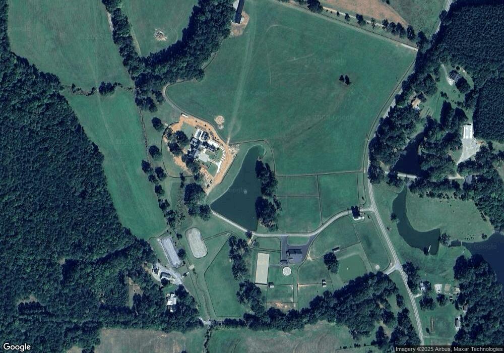
Map
Nearby Homes
- 0 Bill Cline Rd Unit 16661249
- 320 Pleasant View Dr
- 4059 Smokey Rd
- 0 Mountain Creek Way Unit 10503086
- 563 Blalock Lakes Dr
- 780 Bruce Jackson Rd
- 729 Bruce Jackson Rd
- 1227 J D Walton Rd
- 975 Blalock Lakes Dr
- 4398 Georgia 34
- 164 I Walker Brooks Rd
- 282 Sanders Davis Rd
- 0 Thomas Powers Rd Unit 10569332
- 0 Thomas Powers Rd Unit 5.54+/- ACRES
- 0 Thomas Powers Rd Unit 24228819
- 57 Scout Way
- 642 Elm Rd
- 196 Beavers Rd
- 211 Beavers Rd
- 2678 Highway 34 W
- 133 H G Dennis Rd
- 4951 Smokey Rd
- 4988 Smokey Rd
- 5042 Smokey Rd
- 5128 Smokey Rd
- 4956 Smokey Rd
- 5175 Smokey Rd
- 4825 Smokey Rd
- 5319 Smokey Rd
- 5304 Smokey Rd
- 400 Bill Cline Rd
- 5333 Smokey Rd
- 5361 Smokey Rd
- 4663 Smokey Rd
- 4900 Smokey Rd
- 5236 Smokey Rd
- 420 Country Ln
- 352 Country Ln
- 410 Bill Cline Rd
- 5450 Smokey Rd