50697 Hanford Rd Canton, MI 48187
Estimated Value: $501,321 - $590,000
--
Bed
1
Bath
2,101
Sq Ft
$261/Sq Ft
Est. Value
About This Home
This home is located at 50697 Hanford Rd, Canton, MI 48187 and is currently estimated at $547,330, approximately $260 per square foot. 50697 Hanford Rd is a home located in Wayne County with nearby schools including Canton High School, Workman Elementary School, and Plymouth High School.
Ownership History
Date
Name
Owned For
Owner Type
Purchase Details
Closed on
Feb 16, 2016
Sold by
Lake David J and Lake Debora L
Bought by
David J Lake & Debora L Lake Trust
Current Estimated Value
Purchase Details
Closed on
Jul 18, 2011
Sold by
Lake David J
Bought by
Lake David J and Lake Debora L
Home Financials for this Owner
Home Financials are based on the most recent Mortgage that was taken out on this home.
Original Mortgage
$96,000
Interest Rate
4.52%
Mortgage Type
New Conventional
Create a Home Valuation Report for This Property
The Home Valuation Report is an in-depth analysis detailing your home's value as well as a comparison with similar homes in the area
Home Values in the Area
Average Home Value in this Area
Purchase History
| Date | Buyer | Sale Price | Title Company |
|---|---|---|---|
| David J Lake & Debora L Lake Trust | -- | Attorney | |
| Lake David J | -- | 1St Security Title Agency In |
Source: Public Records
Mortgage History
| Date | Status | Borrower | Loan Amount |
|---|---|---|---|
| Closed | Lake David J | $96,000 |
Source: Public Records
Tax History Compared to Growth
Tax History
| Year | Tax Paid | Tax Assessment Tax Assessment Total Assessment is a certain percentage of the fair market value that is determined by local assessors to be the total taxable value of land and additions on the property. | Land | Improvement |
|---|---|---|---|---|
| 2025 | $3,376 | $264,700 | $0 | $0 |
| 2024 | $3,376 | $280,900 | $0 | $0 |
| 2023 | $3,218 | $245,400 | $0 | $0 |
| 2022 | $6,980 | $226,500 | $0 | $0 |
| 2021 | $6,757 | $229,200 | $0 | $0 |
| 2020 | $6,669 | $202,100 | $0 | $0 |
| 2019 | $6,566 | $208,130 | $0 | $0 |
| 2018 | $2,735 | $205,400 | $0 | $0 |
| 2017 | $6,703 | $206,200 | $0 | $0 |
| 2016 | $5,966 | $208,300 | $0 | $0 |
| 2015 | $15,030 | $188,070 | $0 | $0 |
| 2013 | $14,560 | $172,600 | $0 | $0 |
| 2010 | -- | $171,100 | $0 | $0 |
Source: Public Records
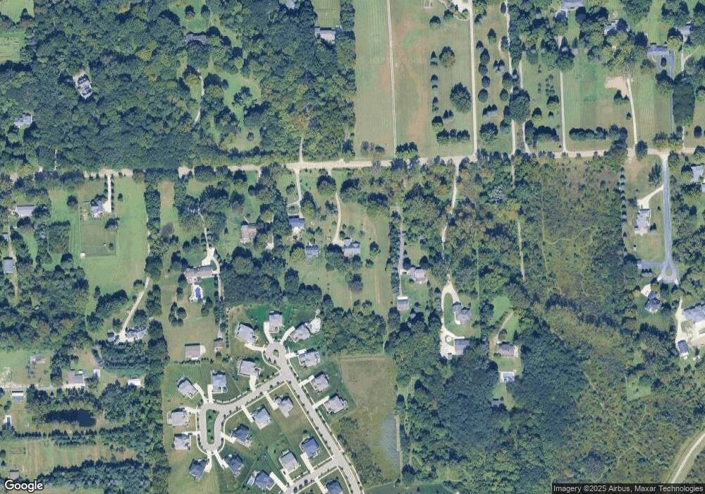
Map
Nearby Homes
- 50723 Auburndale Ct
- 50145 Ford Rd
- 7470 Thornwood St
- 50584 Telluride Dr
- 7319 Haverhill Ct S
- 49093 Poppleton Ct
- 49068 Poppleton Ct
- 2032 Tradition Dr
- 49335 Dominion Ct
- 5922 Valley View Dr
- 48406 Warren Rd
- 921 Bellwood Ln
- 7809 Haverhill Ct N
- 1304 Tradition Dr
- Newport Plan at The Meadows of Cherry Hill
- Chelsea Plan at The Meadows of Cherry Hill
- Madison Plan at The Meadows of Cherry Hill
- 50272 Hedgewood Dr
- 5885 Fairborn Dr
- 48375 Ford Rd
- 50777 Hanford Rd
- 50605 Hanford Rd
- 50839 Hanford Rd
- 50519 Hanford Rd
- 50899 Hanford Rd
- 50415 Hanford Rd
- 50650 Hanford Rd
- 51115 Hanford Rd
- 51135 Hanford Rd
- 50850 Hanford Rd
- 50850 Hanford Rd
- 50850 Hanford Rd
- 50850 Hanford Rd
- 50770 Hanford Rd
- 6325 Page St
- 50450 Hanford Rd
- 3640 Napier Rd
- 50600 Hanford Rd
- 6135 Page St
- 50643 Mayfield Ct E