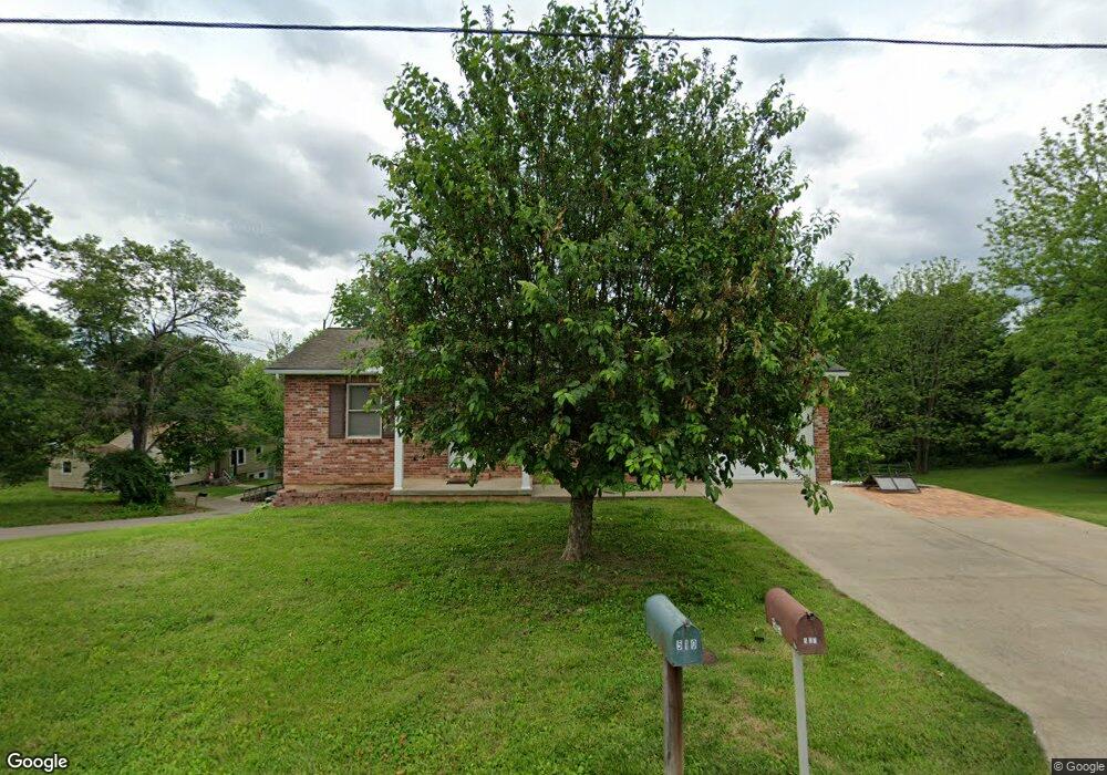
507 Buford Blvd Fredericktown, MO 63645
Estimated Value: $160,000 - $213,000
3
Beds
--
Bath
1,400
Sq Ft
$134/Sq Ft
Est. Value
About This Home
This home is located at 507 Buford Blvd, Fredericktown, MO 63645 and is currently estimated at $187,089, approximately $133 per square foot. 507 Buford Blvd is a home located in Madison County with nearby schools including Fredericktown Elementary School, Fredericktown Intermediate School, and Kelly A. Burlison Middle School.
Ownership History
Date
Name
Owned For
Owner Type
Purchase Details
Closed on
Dec 18, 2015
Sold by
Hacker Debra
Bought by
Hacker Troy
Current Estimated Value
Purchase Details
Closed on
Apr 23, 2012
Sold by
Hacker Debra and Hacker Troy
Bought by
Hacker Troy and Hacker Debra
Purchase Details
Closed on
Apr 13, 2005
Sold by
Weyand Thomas C and Weyand Paula S
Bought by
Hacker Debra
Home Financials for this Owner
Home Financials are based on the most recent Mortgage that was taken out on this home.
Original Mortgage
$63,000
Interest Rate
5.93%
Mortgage Type
New Conventional
Create a Home Valuation Report for This Property
The Home Valuation Report is an in-depth analysis detailing your home's value as well as a comparison with similar homes in the area
Home Values in the Area
Average Home Value in this Area
Purchase History
| Date | Buyer | Sale Price | Title Company |
|---|---|---|---|
| Hacker Troy | -- | None Available | |
| Hacker Troy | -- | None Available | |
| Hacker Debra | -- | None Available |
Source: Public Records
Mortgage History
| Date | Status | Borrower | Loan Amount |
|---|---|---|---|
| Previous Owner | Hacker Debra | $63,000 |
Source: Public Records
Tax History
| Year | Tax Paid | Tax Assessment Tax Assessment Total Assessment is a certain percentage of the fair market value that is determined by local assessors to be the total taxable value of land and additions on the property. | Land | Improvement |
|---|---|---|---|---|
| 2025 | $1,173 | $18,660 | $0 | $0 |
| 2024 | $1,180 | $18,660 | $0 | $0 |
| 2023 | $1,174 | $18,660 | $0 | $0 |
| 2022 | $1,087 | $17,120 | $0 | $0 |
| 2021 | $1,084 | $17,120 | $0 | $0 |
| 2020 | $1,126 | $16,810 | $0 | $0 |
| 2019 | $1,115 | $16,810 | $0 | $0 |
| 2018 | $1,121 | $16,810 | $0 | $0 |
| 2017 | $1,094 | $16,810 | $0 | $0 |
| 2016 | $1,073 | $16,810 | $0 | $0 |
| 2015 | -- | $16,810 | $0 | $0 |
| 2014 | -- | $16,810 | $0 | $0 |
| 2013 | -- | $16,810 | $0 | $0 |
| 2012 | -- | $16,810 | $0 | $0 |
Source: Public Records
Map
Nearby Homes
- 510 Buford Blvd
- 506 Buford Blvd
- 506 Buford Blvd
- 601 Buford Blvd
- 218 W Kelly St
- 600 Buford Blvd
- 214 W Kelly St
- 505 Buford Blvd
- 609 Buford Blvd
- 604 Buford Blvd
- 705 Buford Blvd
- 0 Tract 2 Buford Blvd
- 1001 Mill Rd
- 707 Buford Blvd
- 708 Buford Blvd
- 709 Buford Blvd
- 305 Robinson Blvd
- 520 Collier St
- 801 Buford Blvd
- 307 Robinson St
Your Personal Tour Guide
Ask me questions while you tour the home.