507 Calder Dr Point Roberts, WA 98281
Estimated Value: $448,118 - $980,000
4
Beds
4
Baths
3,800
Sq Ft
$160/Sq Ft
Est. Value
About This Home
This home is located at 507 Calder Dr, Point Roberts, WA 98281 and is currently estimated at $606,530, approximately $159 per square foot. 507 Calder Dr is a home with nearby schools including Point Roberts Primary School, Blaine Middle School, and Blaine High School.
Ownership History
Date
Name
Owned For
Owner Type
Purchase Details
Closed on
Jan 27, 2005
Sold by
Calder William
Bought by
Martineau Dallas G and Martineau Jacqueline E
Current Estimated Value
Home Financials for this Owner
Home Financials are based on the most recent Mortgage that was taken out on this home.
Original Mortgage
$56,250
Interest Rate
5.74%
Mortgage Type
Unknown
Create a Home Valuation Report for This Property
The Home Valuation Report is an in-depth analysis detailing your home's value as well as a comparison with similar homes in the area
Home Values in the Area
Average Home Value in this Area
Purchase History
| Date | Buyer | Sale Price | Title Company |
|---|---|---|---|
| Martineau Dallas G | $75,000 | First American Title Insuran |
Source: Public Records
Mortgage History
| Date | Status | Borrower | Loan Amount |
|---|---|---|---|
| Closed | Martineau Dallas G | $56,250 |
Source: Public Records
Tax History
| Year | Tax Paid | Tax Assessment Tax Assessment Total Assessment is a certain percentage of the fair market value that is determined by local assessors to be the total taxable value of land and additions on the property. | Land | Improvement |
|---|---|---|---|---|
| 2025 | $1,552 | $198,428 | $132,599 | $65,829 |
| 2024 | $1,452 | $196,465 | $131,291 | $65,174 |
| 2023 | $1,452 | $184,529 | $119,355 | $65,174 |
| 2022 | $1,606 | $168,520 | $109,000 | $59,520 |
| 2021 | $1,599 | $173,246 | $93,632 | $79,614 |
| 2020 | $1,575 | $160,411 | $86,695 | $73,716 |
| 2019 | $715 | $154,682 | $83,160 | $71,522 |
| 2018 | $784 | $68,600 | $68,600 | $0 |
| 2017 | $706 | $68,600 | $68,600 | $0 |
| 2016 | $642 | $70,000 | $70,000 | $0 |
| 2015 | $665 | $61,810 | $61,810 | $0 |
| 2014 | -- | $62,930 | $62,930 | $0 |
| 2013 | -- | $70,000 | $70,000 | $0 |
Source: Public Records
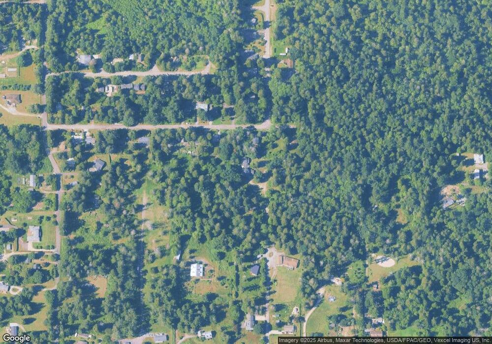
Map
Nearby Homes
- 1940 Apa Rd
- 2045 Apa Rd
- 661 Driftwood Ln
- 0 Deer Rd
- 2138 Benson Rd
- 6 Weasel Run Rd
- 1881 Edwards Dr
- 2202 Seabright Loop
- 58 Seabright Loop
- 1920 Patos Way
- 2242 Seabright Loop
- 1774 Centennial Place
- 1871 Johnson Rd
- 1 Mill Rd
- 2 Mill Rd
- 251 Elizabeth Dr
- 245 Shady Glen Ave
- 1648 Harbor Seal Dr
- 0 15 Whalen Dr
- 19 Whalen Dr
- 1985 Cedar Park Dr
- 1999 Cedar Park Dr
- 1970 Cedar Park Dr
- 1983 Cedar Park Dr
- 1979 Cedar Park Dr
- 479 Greenwood Dr
- 1956 Cedar Park Dr
- 1975 Cedar Park Dr
- 480 Greenwood Dr
- 1971 Cedar Park Dr
- 1965 N Cedar Park Dr
- 1950 Cedar Park Dr
- 1950 Cedar Park Dr
- 1967 N Cedar Park Dr
- 549 Calder Dr
- 1952 Cedar Park Dr
- 469 Greenwood Dr
- 1936 Cedar Park Dr
- 1955 N Cedar Park Dr
Your Personal Tour Guide
Ask me questions while you tour the home.