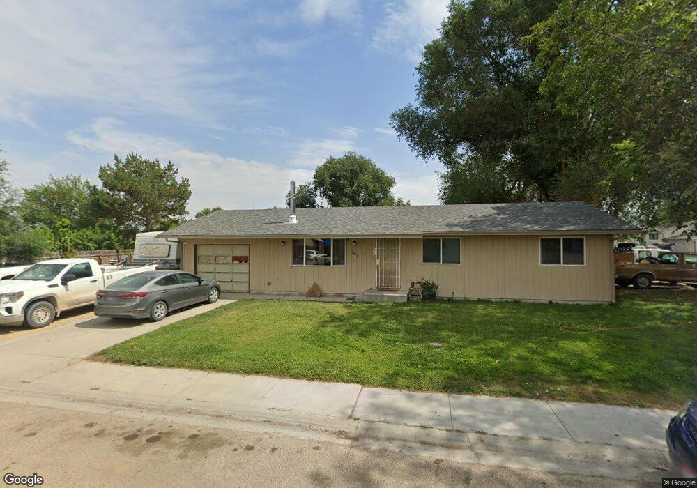
507 Cascade Dr Homedale, ID 83628
Estimated Value: $286,000 - $333,000
3
Beds
1
Bath
1,056
Sq Ft
$285/Sq Ft
Est. Value
About This Home
This home is located at 507 Cascade Dr, Homedale, ID 83628 and is currently estimated at $301,292, approximately $285 per square foot. 507 Cascade Dr is a home located in Owyhee County with nearby schools including Homedale Elementary School, Homedale Middle School, and Homedale High School.
Ownership History
Date
Name
Owned For
Owner Type
Purchase Details
Closed on
May 17, 2007
Sold by
Breshears Randal C
Bought by
Breshears Randal C
Current Estimated Value
Home Financials for this Owner
Home Financials are based on the most recent Mortgage that was taken out on this home.
Original Mortgage
$70,000
Interest Rate
6.18%
Mortgage Type
New Conventional
Purchase Details
Closed on
Oct 6, 2005
Sold by
Breshears Jennifer and Breshears Randy
Bought by
Breshears Randy
Home Financials for this Owner
Home Financials are based on the most recent Mortgage that was taken out on this home.
Original Mortgage
$54,600
Interest Rate
5.63%
Mortgage Type
New Conventional
Create a Home Valuation Report for This Property
The Home Valuation Report is an in-depth analysis detailing your home's value as well as a comparison with similar homes in the area
Home Values in the Area
Average Home Value in this Area
Purchase History
| Date | Buyer | Sale Price | Title Company |
|---|---|---|---|
| Breshears Randal C | -- | -- | |
| Breshears Randy | -- | -- |
Source: Public Records
Mortgage History
| Date | Status | Borrower | Loan Amount |
|---|---|---|---|
| Closed | Breshears Randal C | $70,000 | |
| Closed | Breshears Randy | $54,600 |
Source: Public Records
Tax History Compared to Growth
Tax History
| Year | Tax Paid | Tax Assessment Tax Assessment Total Assessment is a certain percentage of the fair market value that is determined by local assessors to be the total taxable value of land and additions on the property. | Land | Improvement |
|---|---|---|---|---|
| 2024 | -- | $245,730 | $56,030 | $189,700 |
| 2023 | $1,025 | $245,730 | $56,030 | $189,700 |
| 2022 | $849 | $162,460 | $56,030 | $106,430 |
| 2021 | $759 | $113,671 | $45,531 | $68,140 |
| 2020 | $552 | $72,256 | $23,500 | $48,756 |
| 2019 | $568 | $64,810 | $23,500 | $41,310 |
| 2018 | $596 | $66,637 | $18,077 | $48,560 |
| 2017 | $545 | $62,187 | $18,077 | $44,110 |
| 2016 | $456 | $47,233 | $18,077 | $29,156 |
| 2014 | $431 | $40,661 | $16,269 | $24,392 |
| 2011 | -- | $44,230 | $8,734 | $35,496 |
Source: Public Records
Map
Nearby Homes
- 330 Packer Ln
- 501 W California Ave
- 412 W Oregon Ave
- 428 W Montana Ave
- 315 W Montana Ave
- TBD Ustick Rd Parcel 3
- 328 W Owyhee Ave
- TBD L1 W Idaho Ave
- TBD W Idaho Ave
- 207 N Main St
- 531 W Idaho Ave
- 120 N Main St
- 503 E Owyhee Ave
- 505 E Owyhee Ave
- 17700 Fargo Rd
- 114 E Montana Ave
- TBD State Highway 19
- 101 W Utah Ave
- 218 & 222 E Owyhee Ave
- 220 E Wyoming Ave
- 505 E Selway Dr
- 512 Whitecloud Cir
- 506 Whitecloud Cir
- 503 E Selway Dr
- 502 Cascade Dr
- 509 E Selway Dr
- 504 Whitecloud Cir
- 508 E Selway Dr
- 506 E Selway Dr
- 504 Cascade Dr
- 504 E Selway Dr
- 501 E Selway Dr
- 510 E Selway Dr
- 502 E Selway Dr
- 502 Whitecloud Cir
- 506 Cascade Dr
- 515 Whitecloud Cir
- 505 Whitecloud Cir
- 601 E Selway Dr
- 504 W Nevada Ave