Estimated Value: $441,000 - $487,000
--
Bed
--
Bath
1,904
Sq Ft
$247/Sq Ft
Est. Value
About This Home
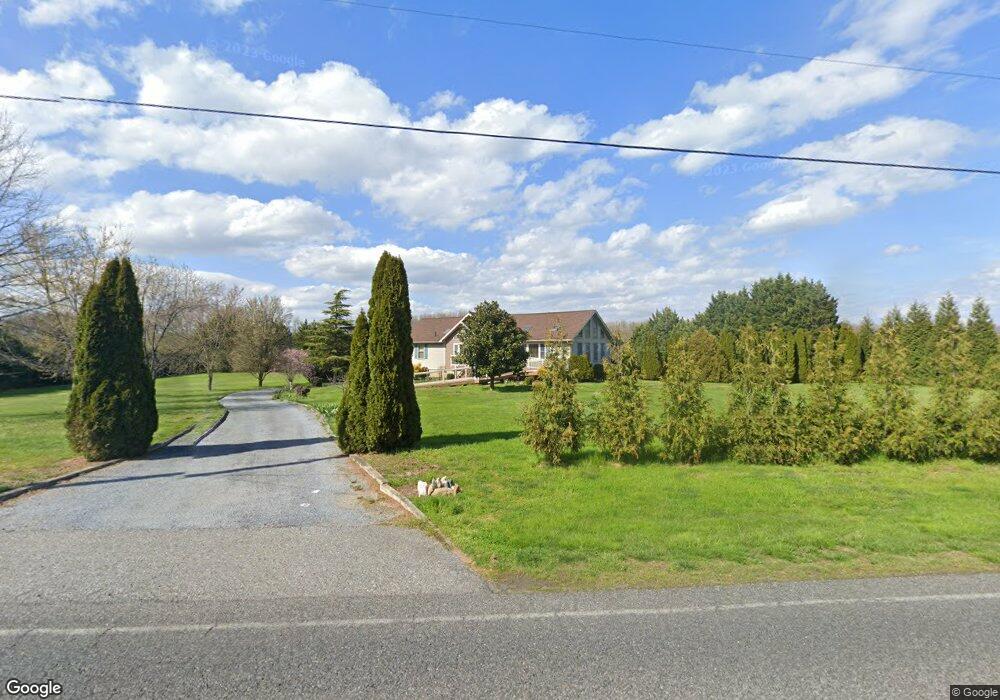
This home is located at 507 Daretown Rd, Elmer, NJ 08318 and is currently estimated at $470,145, approximately $246 per square foot. 507 Daretown Rd is a home located in Salem County with nearby schools including Upper Pittsgrove School and Creativity Colaboratory Charter School.
Ownership History
Date
Name
Owned For
Owner Type
Purchase Details
Closed on
Aug 30, 2002
Sold by
Mclaughlin Colin B and Mclaughlin Deborah L
Bought by
Larter Kenneth C and Larter Evelyn R
Current Estimated Value
Home Financials for this Owner
Home Financials are based on the most recent Mortgage that was taken out on this home.
Original Mortgage
$160,000
Outstanding Balance
$67,569
Interest Rate
6.39%
Estimated Equity
$402,576
Purchase Details
Closed on
Sep 20, 1999
Sold by
Mclaughlin Colin B and Mclaughlin James J
Bought by
Mclaughlin Colin B and Hughes Deborah L
Home Financials for this Owner
Home Financials are based on the most recent Mortgage that was taken out on this home.
Original Mortgage
$103,500
Interest Rate
8.1%
Purchase Details
Closed on
Jul 27, 1999
Sold by
Equity One Inc
Bought by
Mclaughlin Colin B and Mclaughlin James J
Home Financials for this Owner
Home Financials are based on the most recent Mortgage that was taken out on this home.
Original Mortgage
$103,500
Interest Rate
8.1%
Create a Home Valuation Report for This Property
The Home Valuation Report is an in-depth analysis detailing your home's value as well as a comparison with similar homes in the area
Home Values in the Area
Average Home Value in this Area
Purchase History
| Date | Buyer | Sale Price | Title Company |
|---|---|---|---|
| Larter Kenneth C | $217,000 | -- | |
| Mclaughlin Colin B | -- | -- | |
| Mclaughlin Colin B | $115,000 | Pilgrim Title Agency |
Source: Public Records
Mortgage History
| Date | Status | Borrower | Loan Amount |
|---|---|---|---|
| Open | Larter Kenneth C | $160,000 | |
| Previous Owner | Mclaughlin Colin B | $103,500 |
Source: Public Records
Tax History Compared to Growth
Tax History
| Year | Tax Paid | Tax Assessment Tax Assessment Total Assessment is a certain percentage of the fair market value that is determined by local assessors to be the total taxable value of land and additions on the property. | Land | Improvement |
|---|---|---|---|---|
| 2025 | $8,920 | $289,600 | $70,500 | $219,100 |
| 2024 | $8,633 | $289,600 | $70,500 | $219,100 |
| 2023 | $8,633 | $289,600 | $70,500 | $219,100 |
| 2022 | $8,442 | $289,600 | $70,500 | $219,100 |
| 2021 | $8,103 | $289,600 | $70,500 | $219,100 |
| 2020 | $7,886 | $289,600 | $70,500 | $219,100 |
| 2019 | $7,896 | $300,000 | $116,000 | $184,000 |
| 2018 | $7,539 | $300,000 | $116,000 | $184,000 |
| 2017 | $7,533 | $300,000 | $116,000 | $184,000 |
| 2016 | $7,203 | $300,000 | $116,000 | $184,000 |
| 2015 | $6,792 | $300,000 | $116,000 | $184,000 |
| 2014 | $6,561 | $300,000 | $116,000 | $184,000 |
Source: Public Records
Map
Nearby Homes
- 126 Jefferson Rd
- 463 Bridgeton Pike
- 76 Whig Lane Rd
- 384 -386 Pine Tavern Rd
- 276 Woodstown Daretown Rd
- 280 Woodstown Daretown Rd
- 18 Avis Mill Rd
- 752 Yorketown Rd
- 646 Lincoln Rd
- 106 Harrisonville Lake Rd
- 0 Yorketown Rd Unit NJSA139926
- 812 Lincoln Rd
- 17 Aldine Shirley Rd
- 152 N Main St
- 230 State St
- 416 Broad St
- 219 Broad St
- 316 Broad St
- 308 Broad St
- 76 Chestnut St