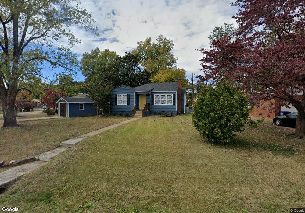
507 Forrest Cir NE Huntsville, AL 35811
Chapman Heights NeighborhoodEstimated Value: $114,132 - $136,000
2
Beds
1
Bath
1,000
Sq Ft
$128/Sq Ft
Est. Value
About This Home
This home is located at 507 Forrest Cir NE, Huntsville, AL 35811 and is currently estimated at $127,783, approximately $127 per square foot. 507 Forrest Cir NE is a home located in Madison County with nearby schools including Martin Luther King Jr. Elementary School, Chapman Middle School, and Lee High School.
Ownership History
Date
Name
Owned For
Owner Type
Purchase Details
Closed on
Apr 26, 2019
Sold by
Tide Pointe Properties Llc
Bought by
Grizzly Properties Llc
Current Estimated Value
Home Financials for this Owner
Home Financials are based on the most recent Mortgage that was taken out on this home.
Original Mortgage
$184,000
Outstanding Balance
$161,113
Interest Rate
4%
Mortgage Type
Commercial
Estimated Equity
-$33,330
Purchase Details
Closed on
Apr 28, 2008
Sold by
Ingle Mark Logan
Bought by
Tide Pointe Properties Llc
Create a Home Valuation Report for This Property
The Home Valuation Report is an in-depth analysis detailing your home's value as well as a comparison with similar homes in the area
Home Values in the Area
Average Home Value in this Area
Purchase History
| Date | Buyer | Sale Price | Title Company |
|---|---|---|---|
| Grizzly Properties Llc | $70,000 | None Available | |
| Tide Pointe Properties Llc | -- | -- |
Source: Public Records
Mortgage History
| Date | Status | Borrower | Loan Amount |
|---|---|---|---|
| Open | Grizzly Properties Llc | $184,000 |
Source: Public Records
Tax History Compared to Growth
Tax History
| Year | Tax Paid | Tax Assessment Tax Assessment Total Assessment is a certain percentage of the fair market value that is determined by local assessors to be the total taxable value of land and additions on the property. | Land | Improvement |
|---|---|---|---|---|
| 2024 | $846 | $14,580 | $4,440 | $10,140 |
| 2023 | $798 | $13,760 | $4,440 | $9,320 |
| 2022 | $655 | $11,300 | $3,360 | $7,940 |
| 2021 | $622 | $10,720 | $3,360 | $7,360 |
| 2020 | $559 | $9,460 | $2,960 | $6,500 |
| 2019 | $535 | $9,220 | $2,960 | $6,260 |
| 2018 | $524 | $9,040 | $0 | $0 |
| 2017 | $524 | $9,040 | $0 | $0 |
| 2016 | $524 | $9,040 | $0 | $0 |
| 2015 | $524 | $9,040 | $0 | $0 |
| 2014 | $530 | $9,140 | $0 | $0 |
Source: Public Records
Map
Nearby Homes
- 2305 Lee High Dr NE
- 2030 Levert St NE
- 2501 Andrew Jackson Way NE
- 1121 Mckinley Ave NE
- 1201 Halsey Ave NE
- 1012 Halsey Ave NE
- 2511 Andrew Jackson Way NE
- 1000 Halsey Ave NE
- 4 Acres Christian Ln NE
- 1029 Rison Ave NE
- 1002 Rison Ave NE
- lot 1 Kildare St NW
- Lot 2 Kildare St NW
- 1109 Rison Ave NE
- 1319 Oakwood Ave NE
- 2307 Kildare St NW
- 1214 Halsey Ave NE
- 1100 Rison Ave NE
- 1019 Stevens Ave NE
- 2507 Kildare St NW
- 509 Forrest Cir NE
- 505 Forrest Cir NE
- 512 Forrest Cir NE
- 511 Forrest Cir NE
- 503 Forrest Cir NE
- 510 Forrest Cir NE
- 508 Forrest Cir NE
- 506 Forrest Cir NE
- 2202 Lee High Dr NE
- 514 Forrest Cir NE
- 516 Forrest Cir NE
- 2204 Lee High Dr NE
- 501 Forrest Cir NE
- 504 Forrest Cir NE
- 502 Forrest Cir NE
- 2222 Lee High Dr NE
- 2224 Lee High Dr NE
- 2220 Lee High Dr NE
- 518 Forrest Cir NE
- 2110 Lee High Dr NE