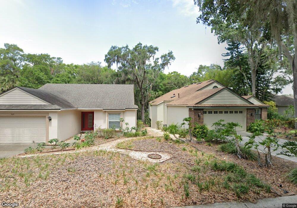
507 High Point Dr Mount Dora, FL 32757
Estimated Value: $500,444 - $616,000
3
Beds
3
Baths
2,388
Sq Ft
$234/Sq Ft
Est. Value
About This Home
This home is located at 507 High Point Dr, Mount Dora, FL 32757 and is currently estimated at $559,111, approximately $234 per square foot. 507 High Point Dr is a home located in Lake County with nearby schools including Triangle Elementary School, Mt. Dora Middle School, and Mt. Dora High School.
Ownership History
Date
Name
Owned For
Owner Type
Purchase Details
Closed on
May 9, 2014
Sold by
Willhide J H
Bought by
Litton Andrea
Current Estimated Value
Purchase Details
Closed on
Jul 14, 2010
Sold by
Lienhart Reed and Lienhart Susan
Bought by
Willhide J H
Purchase Details
Closed on
Jul 29, 1996
Sold by
Lienhart Reed and Lienhart Susan
Bought by
Lienhart Reed and Lienhart Susan
Purchase Details
Closed on
Apr 15, 1996
Sold by
Stlouis Clifford G and Stlouis Melissa
Bought by
Lienhart Reed and Lienhart Susan
Home Financials for this Owner
Home Financials are based on the most recent Mortgage that was taken out on this home.
Original Mortgage
$100,000
Interest Rate
7.8%
Create a Home Valuation Report for This Property
The Home Valuation Report is an in-depth analysis detailing your home's value as well as a comparison with similar homes in the area
Home Values in the Area
Average Home Value in this Area
Purchase History
| Date | Buyer | Sale Price | Title Company |
|---|---|---|---|
| Litton Andrea | $350,000 | Attorney | |
| Willhide J H | $314,000 | Attorney | |
| Lienhart Reed | -- | -- | |
| Lienhart Reed | $183,000 | -- |
Source: Public Records
Mortgage History
| Date | Status | Borrower | Loan Amount |
|---|---|---|---|
| Previous Owner | Lienhart Reed | $100,000 |
Source: Public Records
Tax History
| Year | Tax Paid | Tax Assessment Tax Assessment Total Assessment is a certain percentage of the fair market value that is determined by local assessors to be the total taxable value of land and additions on the property. | Land | Improvement |
|---|---|---|---|---|
| 2026 | $4,849 | $309,630 | -- | -- |
| 2025 | $4,572 | $301,200 | -- | -- |
| 2024 | $4,572 | $301,200 | -- | -- |
| 2023 | $4,572 | $283,920 | $0 | $0 |
| 2022 | $4,515 | $275,650 | $0 | $0 |
| 2021 | $4,350 | $267,622 | $0 | $0 |
| 2020 | $4,508 | $263,928 | $0 | $0 |
| 2019 | $4,507 | $257,995 | $0 | $0 |
| 2018 | $4,360 | $253,185 | $0 | $0 |
| 2017 | $4,106 | $247,978 | $0 | $0 |
| 2016 | $4,007 | $242,878 | $0 | $0 |
| 2015 | $4,080 | $241,190 | $0 | $0 |
| 2014 | $4,941 | $237,274 | $0 | $0 |
Source: Public Records
Map
Nearby Homes
- 350 Liberty Ave Unit 16
- 621 High Point Dr
- 521 Michigan St
- 100 S Tremain St Unit F1
- 342 S Clayton St
- 617 Robie Ave
- 110 N Tremain St Unit 109
- 110 N Tremain St Unit 110
- 110 N Tremain St Unit 105
- 101 N Grandview St Unit 205
- 101 N Grandview St Unit 206
- 603 Chautauqua Dr
- 118 N Grandview St
- 610 S Highland St
- 1131 Dora Parc Ln
- 806 Wedgewood Dr
- 1051 S Highland St Unit 4B
- 1051 S Highland St Unit 3B
- 1051 S Highland St Unit 3D
- 130 N Johns St
- 507 Drive
- 509 High Point Dr
- 505 High Point Dr
- 511 High Point Dr
- 501 High Point Dr
- 515 High Point Dr
- 500 High Point Dr
- 510 High Point Dr
- 555 S Sandlake Ct
- 575 S Sandlake Ct
- 617 High Point Dr
- 512 High Point Dr
- 625 S Sandlake Ct
- 520 S Sandlake Ct
- 585 S Sandlake Ct
- 0000 S Sandlake Ct
- 595 S Sandlake Ct
- 619 High Point Dr
- 530 S Sandlake Ct
- 615 Sand Lake Ct
Your Personal Tour Guide
Ask me questions while you tour the home.